


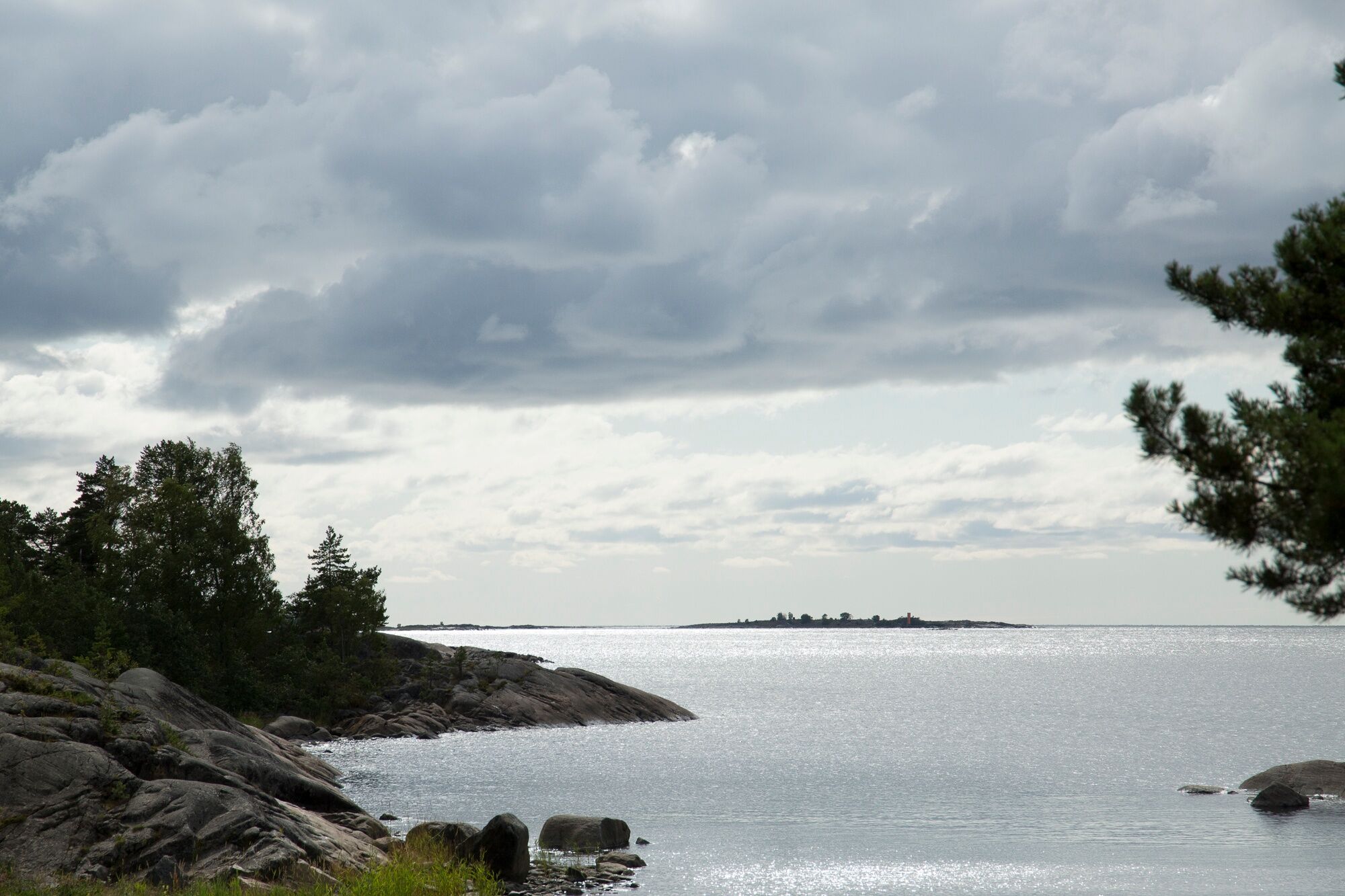
Murgrund and Österskäret


Murgrund is close to many locals’ hearts. Its area is 13.4 hectares and length in north-south direction is 900 metres which makes it befitting for stretching one’s legs after paddling or hidin a geocache.
...Murgrund is close to many locals’ hearts. Its area is 13.4 hectares and length in north-south direction is 900 metres which makes it befitting for stretching one’s legs after paddling or hidin a geocache.
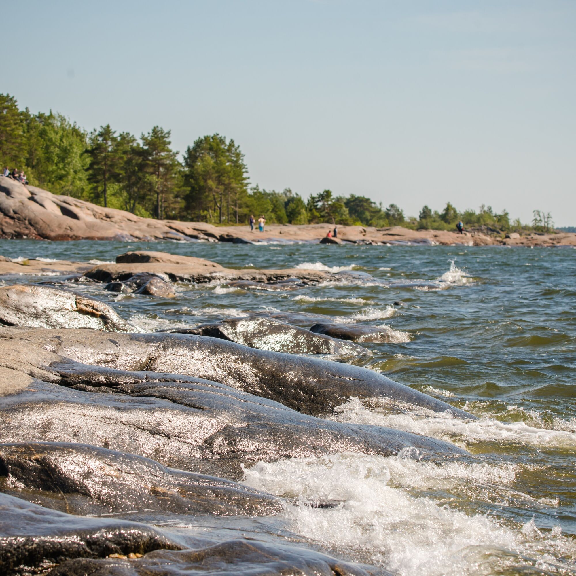
It pays off to bring binoculars to catch a glimpse of black guillemots or razorbills. Caspian terns and others can also be seen on the islands. How many species can you spot? Perhaps you’ll even see a seal’s head emerge to the surface.
There is a beautiful cotton field on the islands and a small sauna. The sauna of Murgrund is a small red cabin where fishermen stayed overnight while fishing or hunting.
Österskäret boasts a camp-fire place, an outside toilet, a small waste station and a windbreak for overnighting. The island is beautiful and interesting to tour. Its area is 9.2 hectares, and it is 600 metres long in north-south direction.
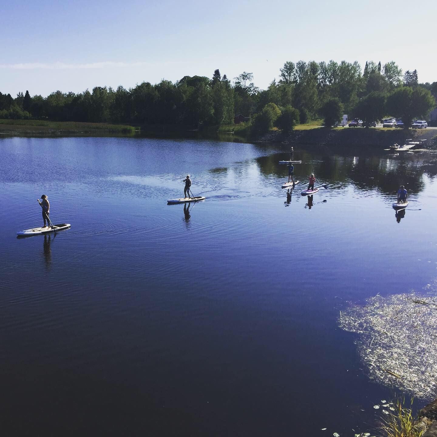
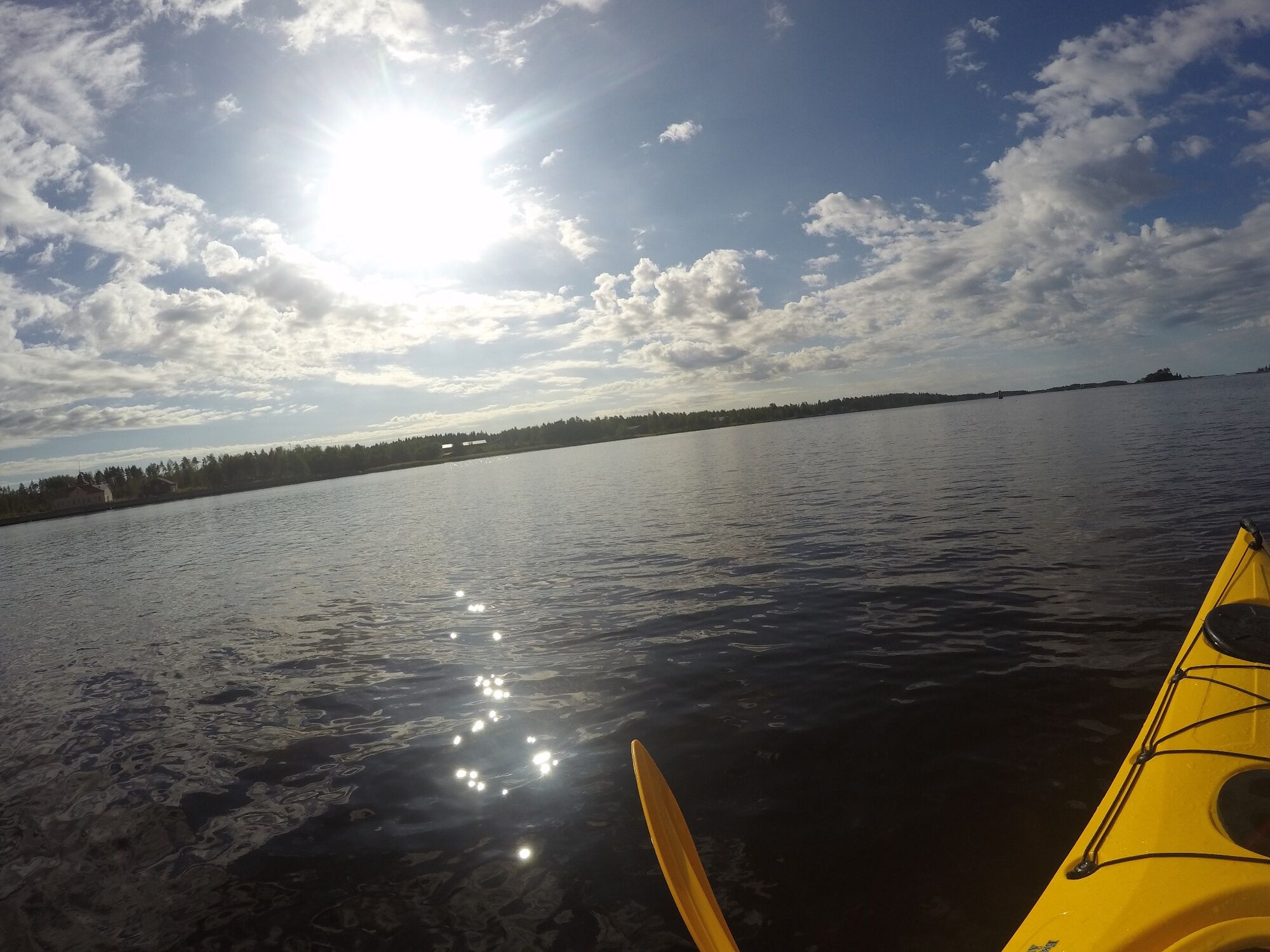
If you wish to rent a canoe, a kayak or a SUP-board, start your trip at the seaside on the West Side. Along the promenade, you will find both Kristiinankaupunki Tourist Information and the rentable kayaks and SUP-boards. You can also rent a rowboat, Tyra.
The route can be challenging if there are waves at sea. Remember always to keep safety in mind while at sea. 0100100 Merellä is a useful nautical charts application.
Kristiinankaupunki Sailing Club is an old, but still active association. It was founded on the 21st of June 1882 and has sailing, navigation and paddling sections. Sailing club’s summer restaurant Pavis is situated on the pavilion of Korkeasaari and is an excellent spot to sit down or to rent a canoe or a kayak.
Beliebte Touren in der Nähe
St Olav Ostrobothnia (S), Kristinestad-Kaskö
schwerPilgerweg28,1 kmSt Olav Ostrobothnia (S), Henriksdal-Kristinestad
schwerPilgerweg27,7 kmSkaftung's archipelago's northwestern areas
Kajak / Kanu10,4 kmSkaftung – To the sea!
Kajak / Kanu17,2 kmMemories from Skaftung's golden age
Kajak / Kanu16,8 kmBlue Trail
Wanderung3,65 kmCittago Route
mittelRadfahren13,9 kmSkaftungleden
Kajak / Kanu19,7 kmTiilitehtaanmäki-Pohjoislahti Nature Trail
leichtWanderung8,85 kmCittaslow Route (Lange)
mittelRadfahren21,0 km
Wandern & Tracking


Verpasse keine Angebote und Inspirationen für deinen nächsten Urlaub
Deine E-Mail-Adresse wurde in den Verteiler eingetragen.