


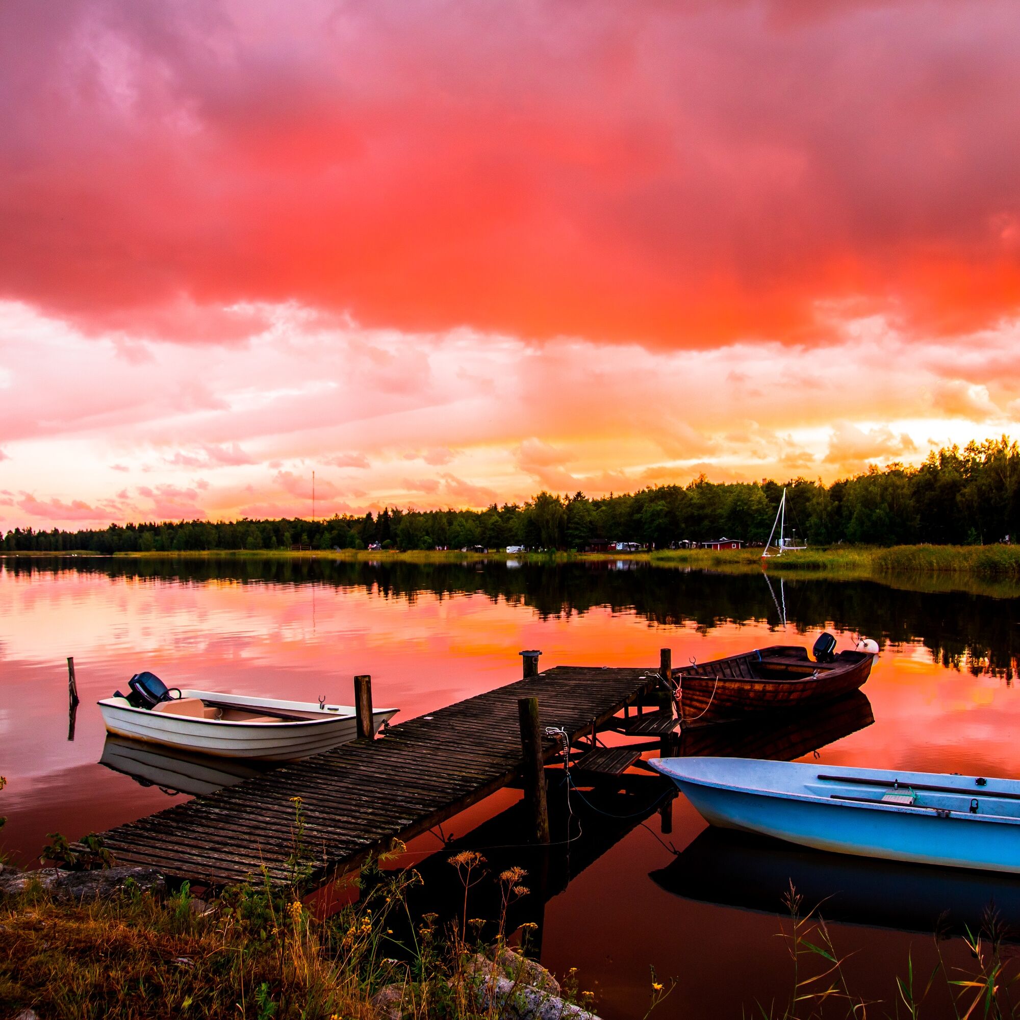
Skatan Tour


The gingerbread houses of Skatan are visible to seafarers. In the bygone days, they belonged to rich captains. In the picturesque Skatan, the captains’ mighty wooden villas and the fishermen’s small wooden...
The gingerbread houses of Skatan are visible to seafarers. In the bygone days, they belonged to rich captains. In the picturesque Skatan, the captains’ mighty wooden villas and the fishermen’s small wooden houses lie side-by-side in harmony.
Lots of interesting history has been preserved in the fishing village so it pays off to land and take a walk in the beautiful Skatan.

1. Inner city–Hemgrundet
Leaving the inner city, you will get a sight of Hemgrundet. There is a beautiful villa and a unique 100-year-old sauna on the island. If you wish to admire them more closely, you are welcome to circumnavigate the island. The square sauna—Quisisana—built in Mediterranean style is worth the while. Please note that landing is prohibited as the island is privately owned.
Opposite to Hemgrundet is Pukinsaari Camping where you can land and enjoy their renowned ice cream scoops!
2. Hemgrundet–Halsgrund
Continue the route under the Pavis Bridge connecting Korkeasaari to mainland. Don’t miss the old wooden houses along the way! After passing Korkeasaari, steer towards Svartgrund. Therefrom paddle to Halsgrund via the waterway between Lingonskäret and Stickelgrund.
Halsgrundis uninhabited so you may crisscross there as you wish. Its area is 4.7 hectares and it is 430 metres long.
3. Halsgrund–Skatan
The route takes you now between Granskäret and Tallskäret to Skatan. Tallskäret is uninhabited, too, so you can land wherever you wish to do so.
Petrin Lohi is in the heart of Skatan. From there, you can reclaim salmons you ordered beforehand for your picnic.
4. Skatan–Cannon Bay
After islands Häbbret and Tallskäret, the route continues at sea. Follow the coast of Björkskäret until you discover rocks. You have reached Cannon Bay.
Björkskäretis a scenic place with several routes to walk through. Also bring binoculars with you as it is possible to see skuas and white-tailed eagles there. At Cannon Bay, there are both beautiful rocks and charming green areas. The site is well liked, and many come here to take a dip in the sea. Did you bring a picnic basket with you? This is the site for enjoying a nice outdoor meal. There are two camp-fire places, and the city provides the firewood.
5. Cannon Bay–Korkeasaari
When it’s time to leave Cannon Bay behind and return to the city centre, move towards Krabbgrund. Then pass Knappelgrynnan, Bolstervaret, Prostkobban, Halsgrund, Stickelgrund and Svartstenarna, and turn to Korkeasaari.
6. Korkeasaari–Inner city
From Korkeasaari, paddle to the inner city.
The most important sight of Korkeasaari is the summer restaurant Pavis owned by Kristiinankaupunki Sailing Club. There you can step ashore to admire the building’s architecture or enjoy a meal in the restaurant. Canoes and kayaks can also be rented there.
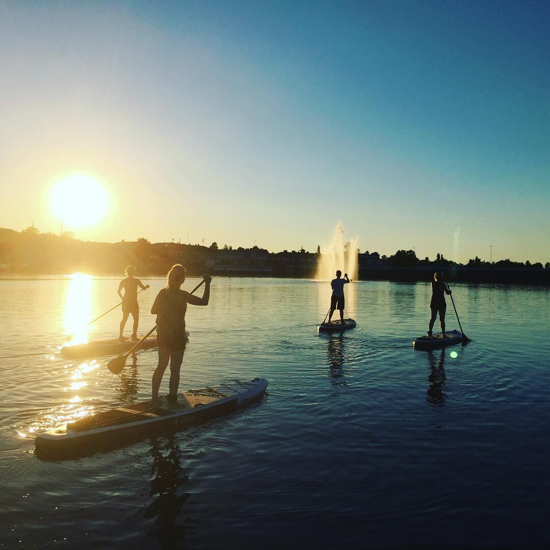
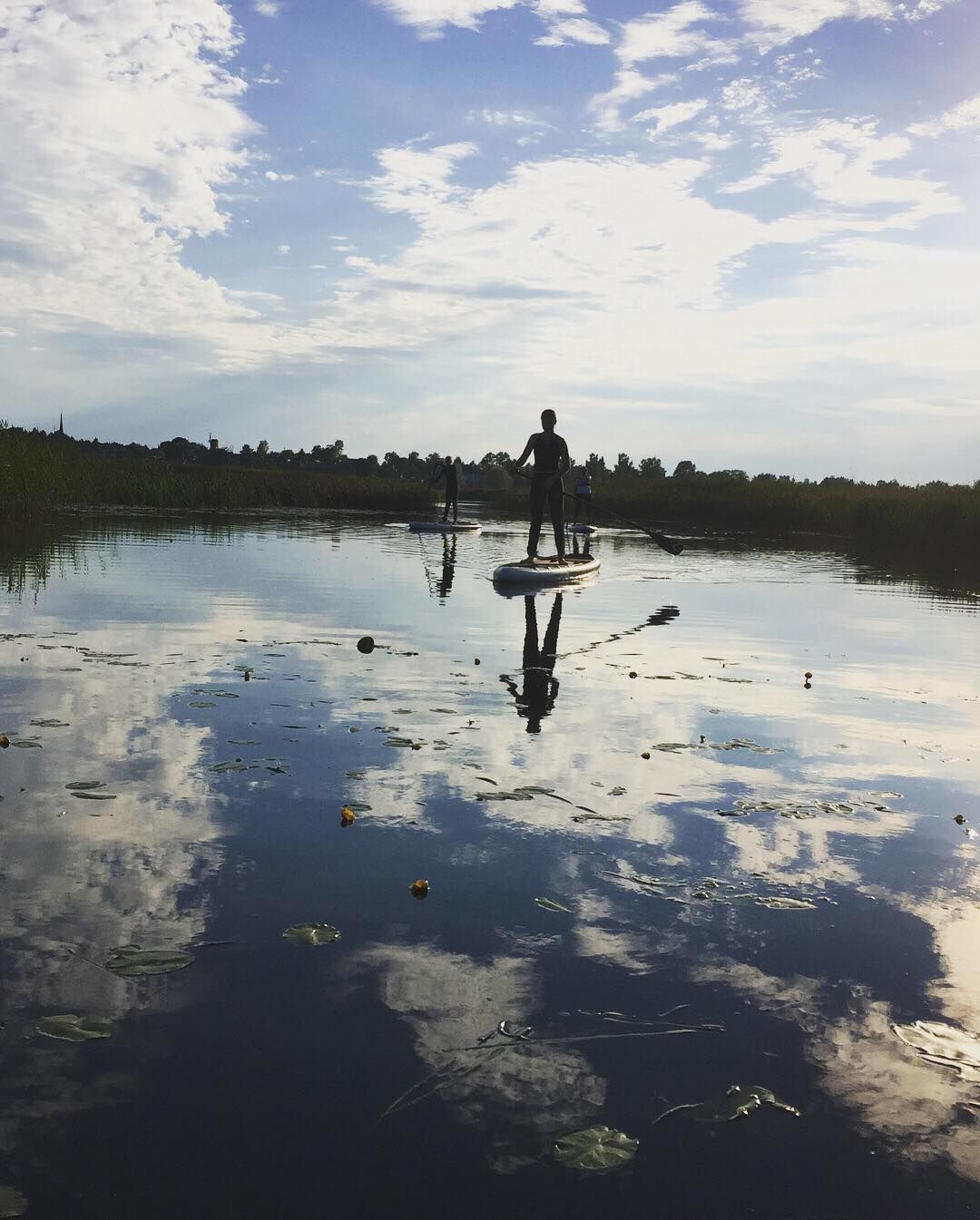
If you wish to rent a canoe, a kayak or a SUP-board, start your trip at the seaside on the West Side of the city. Along the promenade, you will find both Kristiinankaupunki Tourist Information and the rentable kayaks and SUP-boards. You can also rent a rowboat, Tyra.
The inner port and its buildings are truly worth seeing.
Beliebte Touren in der Nähe
St Olav Ostrobothnia (S), Kristinestad-Kaskö
schwerPilgerweg28,1 kmSt Olav Ostrobothnia (S), Henriksdal-Kristinestad
schwerPilgerweg27,7 kmSkaftung's archipelago's northwestern areas
Kajak / Kanu10,4 kmSkaftung – To the sea!
Kajak / Kanu17,2 kmMemories from Skaftung's golden age
Kajak / Kanu16,8 kmBlue Trail
Wanderung3,65 kmCittago Route
mittelRadfahren13,9 kmSkaftungleden
Kajak / Kanu19,7 kmTiilitehtaanmäki-Pohjoislahti Nature Trail
leichtWanderung8,85 kmCittaslow Route (Lange)
mittelRadfahren21,0 km
Wandern & Tracking


Verpasse keine Angebote und Inspirationen für deinen nächsten Urlaub
Deine E-Mail-Adresse wurde in den Verteiler eingetragen.