


Hike to the castle of Roquefixade


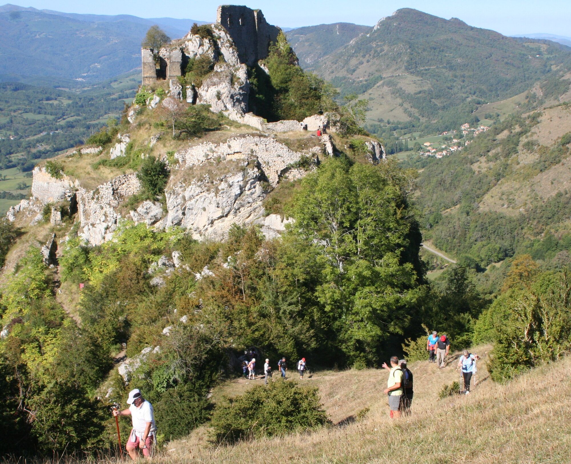
The Roquefixade Castle loop uses some of these trails. It takes you around the ridges overlooking Roquefixade Castle, where you can admire much of the Ariège Pyrenees. Between green meadows and beech and...
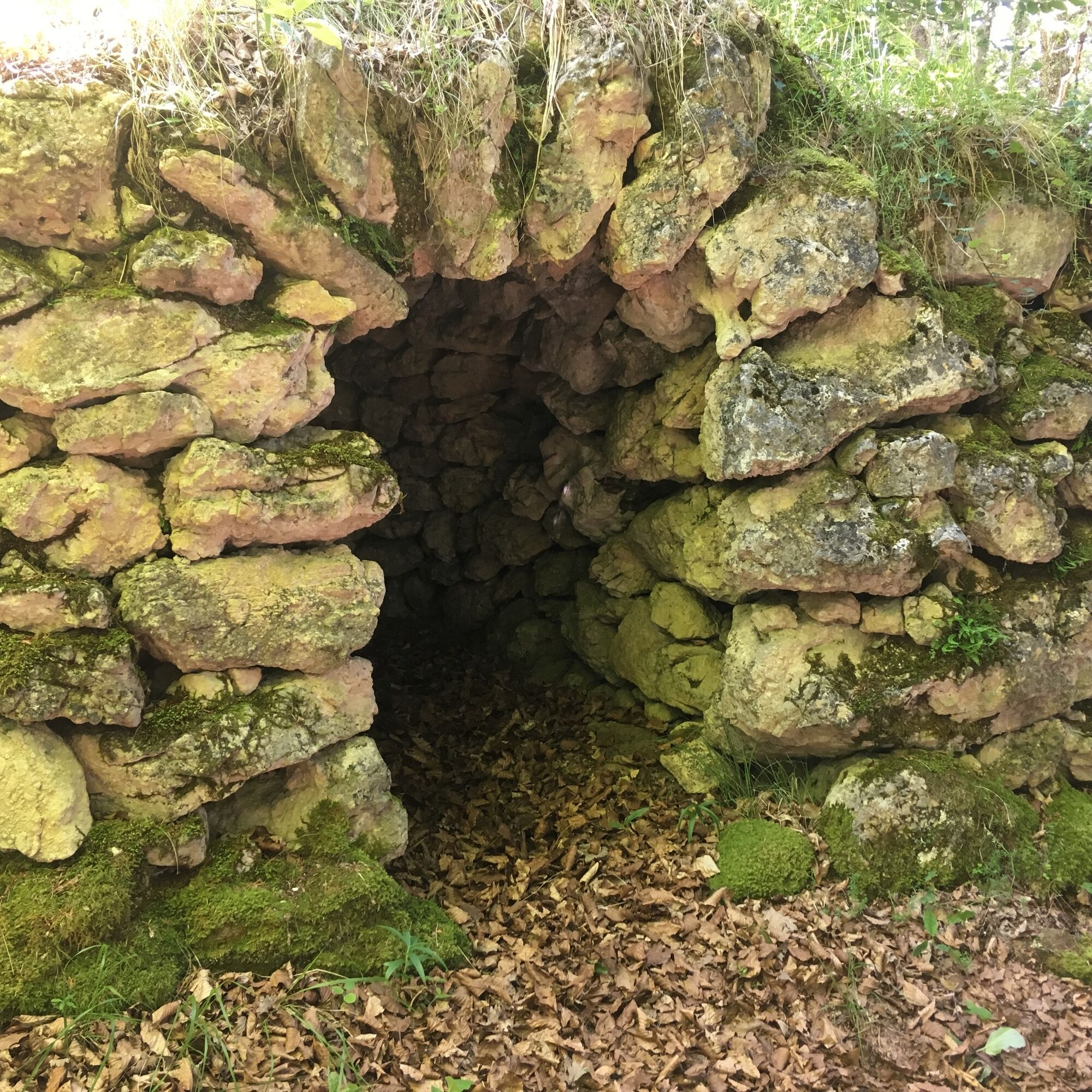
The Roquefixade Castle loop uses some of these trails. It takes you around the ridges overlooking Roquefixade Castle, where you can admire much of the Ariège Pyrenees. Between green meadows and beech and chestnut forests, you will find yourself on the northern slope under magnificent boxwood arbours, admiring magnificent holm oaks and wild orchids as you pass by dry stone huts called ‘Orris’.
Places to visit: the castle ruins, the village church, the ‘Orris’ dry stone structures, and the Coulzone Maquis memorial.

Access: From Lavelanet, head towards Foix. Turn right towards Roquefixade Castle.
Starting point: car parks at the viewpoint outside the village or at the village square in Roquefixade
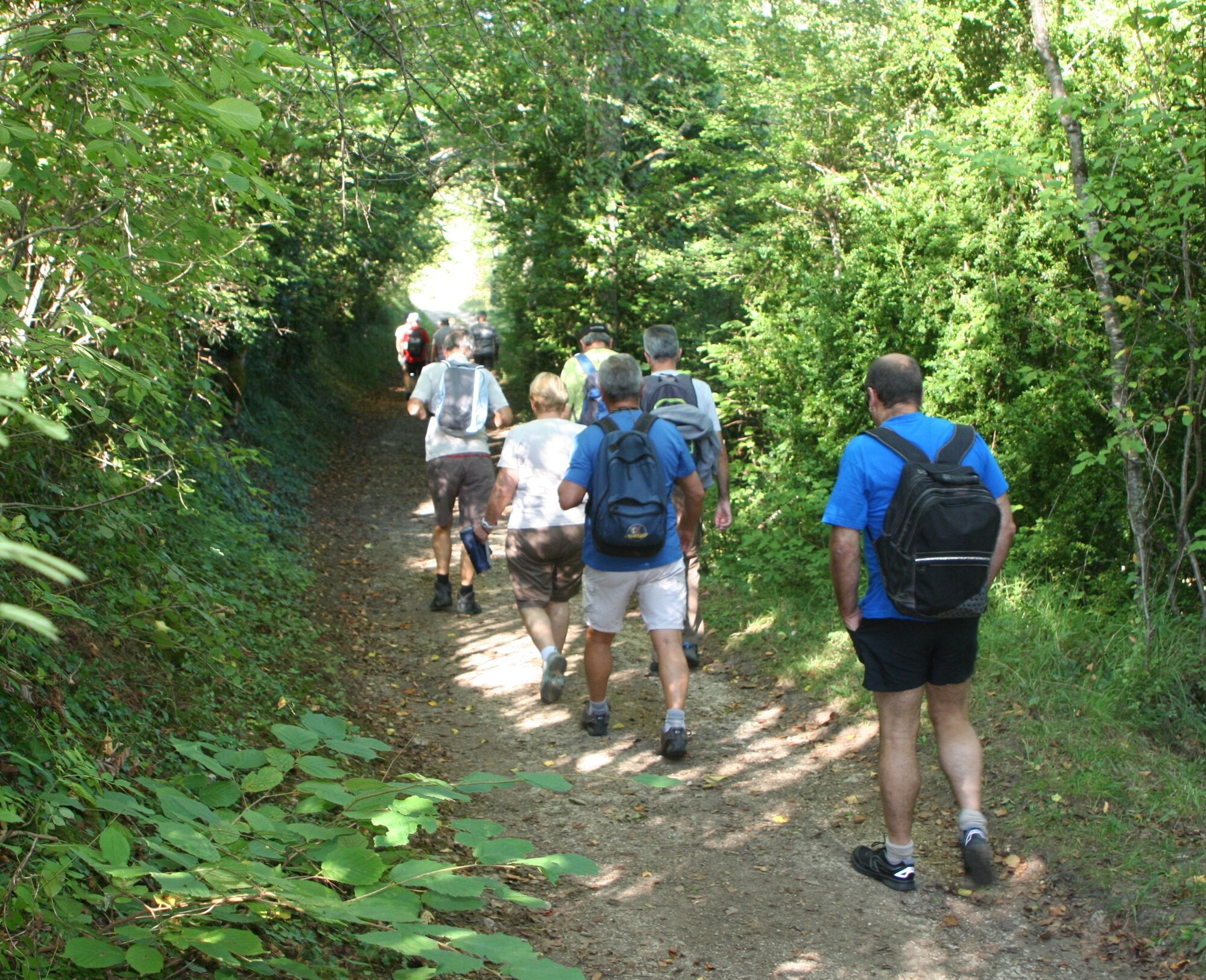
1 - Starting from Roquefixade town hall, walk past the gîte d'étape and take the farm track towards the hamlet of Coulzonne, passing the stele des maquisards (marked in yellow and red, then white and red).
2 - Before the hamlet, turn left towards Bac d'en Bas, passing by the ruins of Crézat (yellow and red markings).
You can also take the path on the left, which will take you to the castle.
3 - Then head towards Bac d'en Haut (yellow and red markings).
4 - Take the red and yellow marked trail to the ‘La Calm’ area.
5 - Continue along the steep path and join the GR du Pays d'Olmes (1.5 km) to arrive at your starting point.
Things to see:
- The ruins of the hamlet of Grézat
- The hilltop hamlet of Coulzonne
- The stele of the Battle of Roquefixade
The orientation table
- The cliffs below the castle
- The sinkholes
- The clearings and paths in the north-facing woods
Beliebte Touren in der Nähe
Les terrasses du Pech
leichtWanderung3,22 kmGrande Traversée VTT Ariège Pyrénées
schwerMountainbike207,3 kmCircuit cyclosport 10 - Les trois bosses près de Foix
schwerRennrad78,8 kmRadrennstrecke 1 - Die Katharerburgen
schwerRennrad88,2 kmLa Grande Traversée VTT de l'Ariège
schwerMountainbike208,5 kmBalade du Saint-Sauveur
leichtWanderung3,17 kmLes châteaux Cathares - circuit n°1
schwerRennrad88,3 kmLe chemin des 3 cascades
mittelWanderung7,20 kmCircuit cyclosport 11 - Le cyclotour de l'Ariège - Etape 3 : d'Auzat à Prades
schwerRennrad107,4 kmBalade du Pech de Montgailhard
mittelWanderung6,94 km

Wandern & Tracking


Verpasse keine Angebote und Inspirationen für deinen nächsten Urlaub
Deine E-Mail-Adresse wurde in den Verteiler eingetragen.