


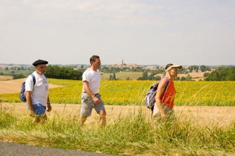
The Heights of Maladène


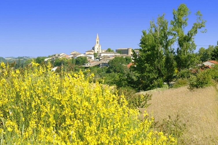
Salvagnac, an ancient fortified village, is home to the castle towers (14th-15th centuries), Notre-Dame church and its treasure trove of sacred art, including a processional cross dating from 1514, and...
Salvagnac, an ancient fortified village, is home to the castle towers (14th-15th centuries), Notre-Dame church and its treasure trove of sacred art, including a processional cross dating from 1514, and frescoes by Nicolaï Greschny (mid-20th century).
In this land of cultivated fields, preference is given to traditional cereals, including wheat. Planted on the hillsides of the Tarn, it provides millers with pure flour for making Lo Cantél, a recipe based on traditional practices that produces a soft, crusty loaf with a melting creamy crumb.
En cas d'urgence, composez le 112.
Beliebte Touren in der Nähe
Œnorando® The Pompirac Path
leichtWanderung7,28 km- 5,0
Œnorando® Vignes & Clochers
leichtWanderung8,07 km GR®46 - Les Bastides albigeoises
schwerWanderung74,2 kmTarn-Tour zu Pferd: Lisle-sur-Tarn / Puycelsi
schwerReiten28,4 kmSentier de Mespel
leichtWanderung5,66 kmLe sentier du patrimoine (variante)
leichtWanderung6,62 kmTour du Tarn à cheval : Puycelsi / Bruniquel
mittelReiten11,9 kmLe sentier du patrimoine
schwerWanderung11,5 kmLes Hauts de Gaillac
schwerWanderung18,9 kmLa forêt de Sivens
leichtWanderung7,81 km
Wandern & Tracking


Verpasse keine Angebote und Inspirationen für deinen nächsten Urlaub
Deine E-Mail-Adresse wurde in den Verteiler eingetragen.