


Sui colli di Teglio tra i campi di grano saraceno e le vigne del Valgella


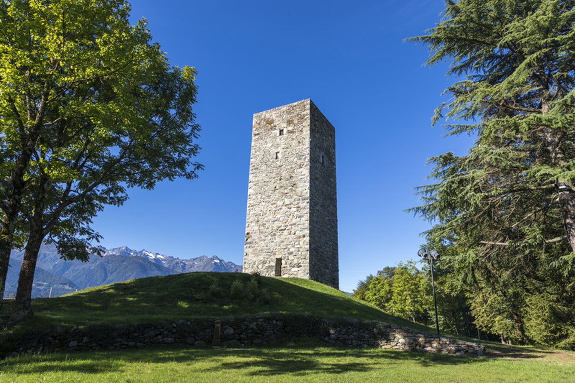
The first stop is at Teglio's castle tower (893 m a.s.l.), where to enjoy a great view over most of Valtellina. From the hill, the descent leads to Besta palace until the road becomes a trail on the left,...
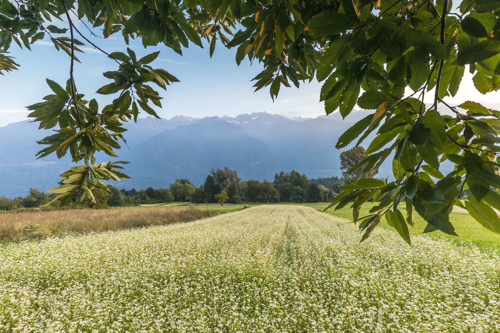
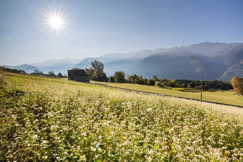
The first stop is at Teglio's castle tower (893 m a.s.l.), where to enjoy a great view over most of Valtellina. From the hill, the descent leads to Besta palace until the road becomes a trail on the left, leading to S. Antonio church and then to Vangione (trail with marker no. 306). Following the same direction, cross the contrada until La Sella locality (620 m a.s.l.), where Valgella wine is produced. On the right, once having almost completely passed the hill, a small bridge crosses the stream: here, the climb back starts. Turn right at S. Giovanni church and, following the indications to Teglio, cross Capitel locality first and then climb up the panoramic Dos de la Forca ridge, in whose rocks there are groups of prehistoric cup-marks. After crossing the long rise, descend towards Teglio to the wide grasslands and fields - often cultivated as buckwheat. Walk the paved road on the right for a hundred meters, then take an agricultural road on the left that crosses the grasslands to then end in Teglio.


Beliebte Touren in der Nähe
- 4,3
Rifugio Curo’ e lago del Barbellino - lago naturale del Barbellino - lago Gelt
schwerWanderung26,4 km - 4,0
Valbondione-Curò
mittelWanderung7,02 km - 5,0
32.05 Poschiavo - Tirano, Trans Altarezia Bike
mittelMountainbike29,1 km Bergwanderung zum «See des Verrückten» - Kurz Version
Wanderung11,4 kmValtellina-Pfad
mittelRadfahren113,2 kmGiro del Lago - Le prese - Miralago
leichtWanderung7,43 km33.10 Le Prese - Tirano, Via Albula / Bernina
mittelWanderung14,6 km- 4,0
Giro del Lago
leichtWanderung7,28 km Il Sentiero delle Marmitte
schwerWanderung3,68 kmBergwanderung von Selva zum Pass da Cancian
Wanderung15,1 km
Wandern & Tracking


Verpasse keine Angebote und Inspirationen für deinen nächsten Urlaub
Deine E-Mail-Adresse wurde in den Verteiler eingetragen.