


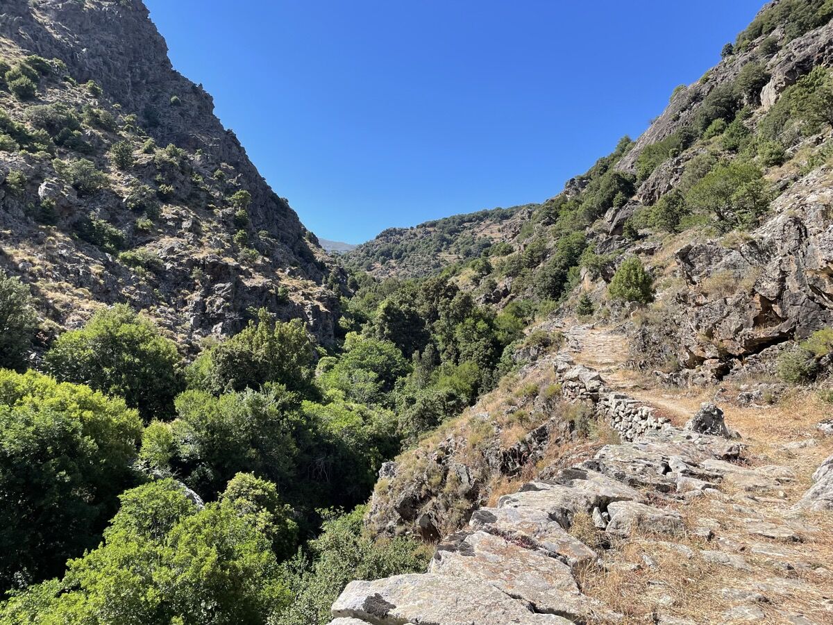
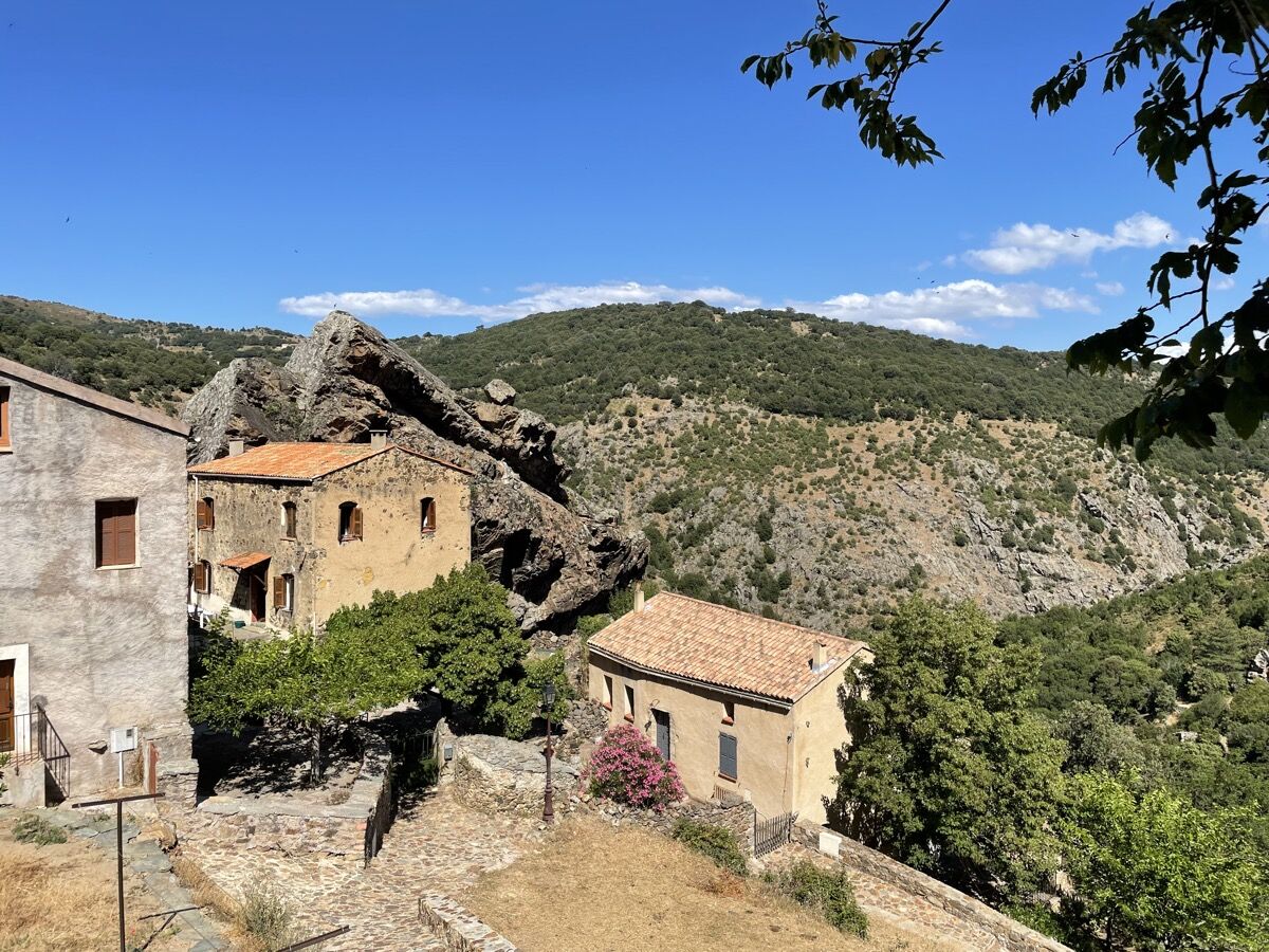
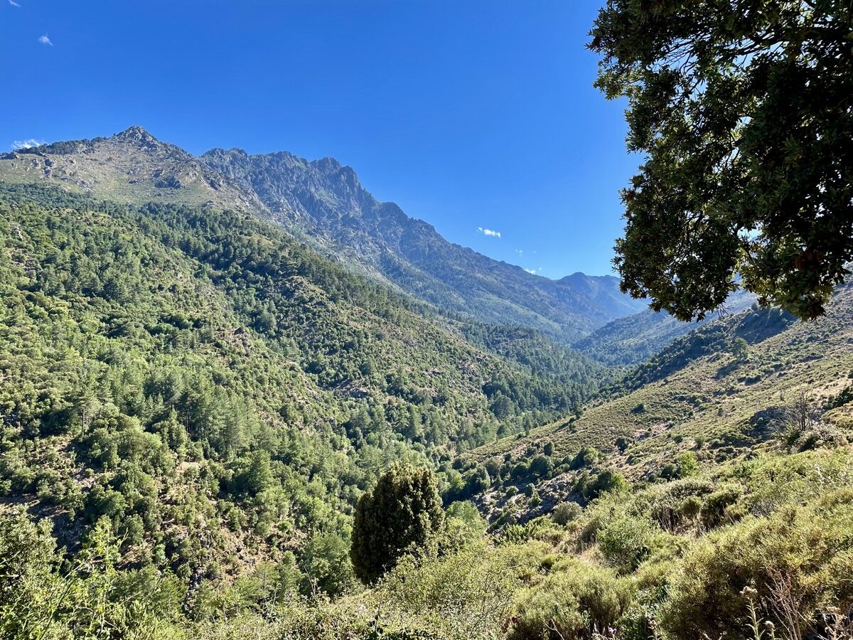
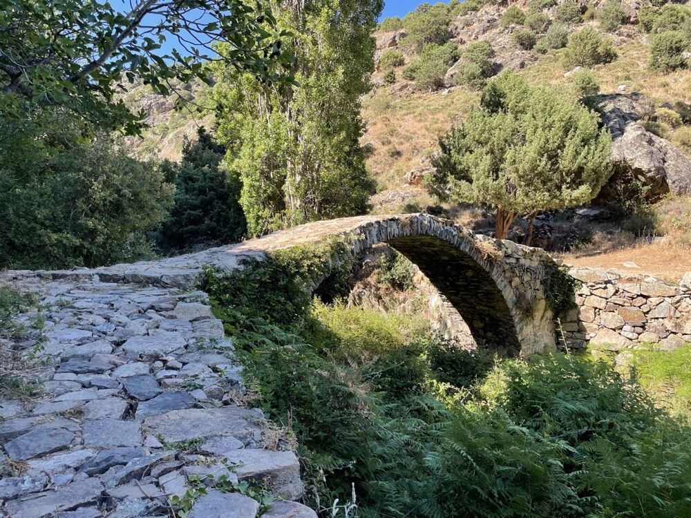
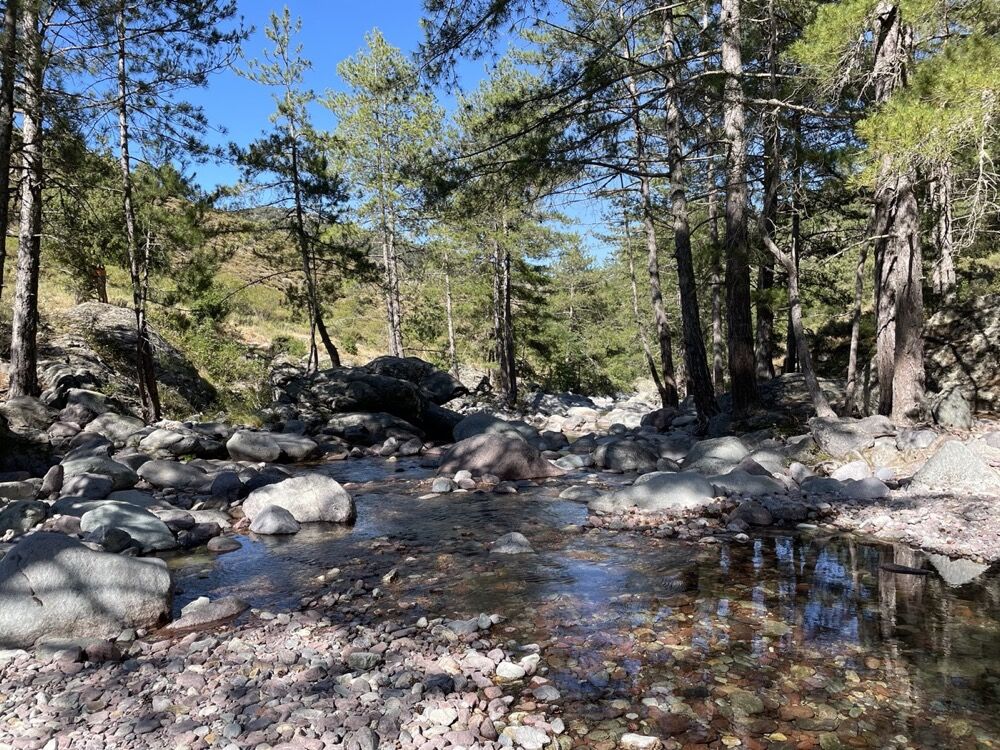
Trail 10 : Gorges du Francione


You'll be on trails, overlooking the Francione gorges and enjoying a "cool" break halfway down the Tartagine valley.
An itinerary with regular slopes and no technical difficulties, accessible to all, perfect...
You'll be on trails, overlooking the Francione gorges and enjoying a "cool" break halfway down the Tartagine valley.
An itinerary with regular slopes and no technical difficulties, accessible to all, perfect for appreciating the wild beauty of the valley.
Duration (depending on pace) : 1:05 to 2:10
Weather forecast: check the weather forecast before leaving on +33(0)3250 or +33(0)8 99 71 02 00
Avoid hiking in thunderstorms or windy conditions because of the fire risk
Avoid hiking if you see fire smoke even in the distance
Take water with you
Bring good hiking shoes and something to protect you from the sun and rain.
Watch out for the train for paths passing near the railway line
Keep dogs on a leash
If the ground is wet, be careful as the trails are often stony and can be slippery.
Respect the path of the trails, do not use short cuts to protect vegetation and prevent erosion
Do not damage fences, plantations, and do not disturb pets or herds.
Please note that the picking of certain plants is prohibited.
Do not leave any traces of your passage by taking your waste to a waste collection point, and think about sorting.
Find out about the hunting season
Do not hesitate to call on hiking professionals. Your Tourist Office works with qualified guides.
Beliebte Touren in der Nähe
KORSIKA Pocca di Col de Batagglia 20190914
leichtWanderung3,15 km10 - Tour du Reginu
mittelRadfahren56,6 km- 5,0
Rando 4 : Tour de la Cima Sant'Anghjulu
schwerWanderung8,76 km Trail 7 : Giru di a pieve di Tuani
leichtTrailrunning17,2 km- 4,0
Rando 6 : Giru L'Île-Rousse - Sta Reparata - Monticello
mittelWanderung12,0 km Balagne VTT loop
mittelE-MTB36,3 km- 3,0
Rando 7 : Boucle du barrage de Codole
leichtWanderung11,4 km Trail 2 : Andetta
leichtTrailrunning10,2 kmRando 5 : Giru di i Poghji di Santa Reparata di Balagna - Hameaux de Santa Reparata
leichtWanderung3,74 km- 3,0
Rando 1 : Corbara - Pigna - Varcale
leichtWanderung10,1 km
Wandern & Tracking


Verpasse keine Angebote und Inspirationen für deinen nächsten Urlaub
Deine E-Mail-Adresse wurde in den Verteiler eingetragen.