


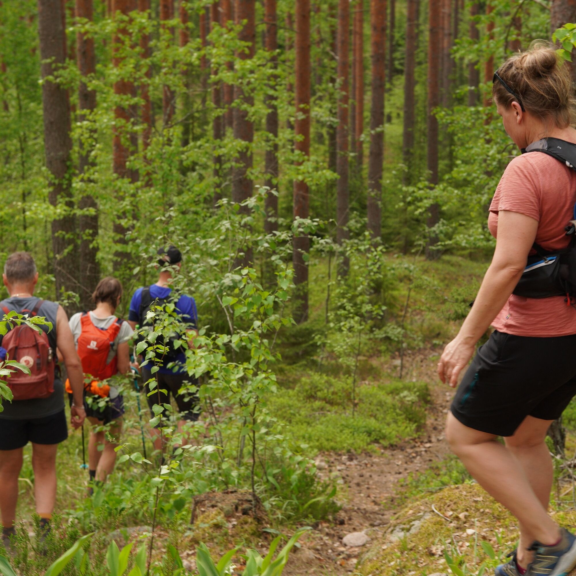
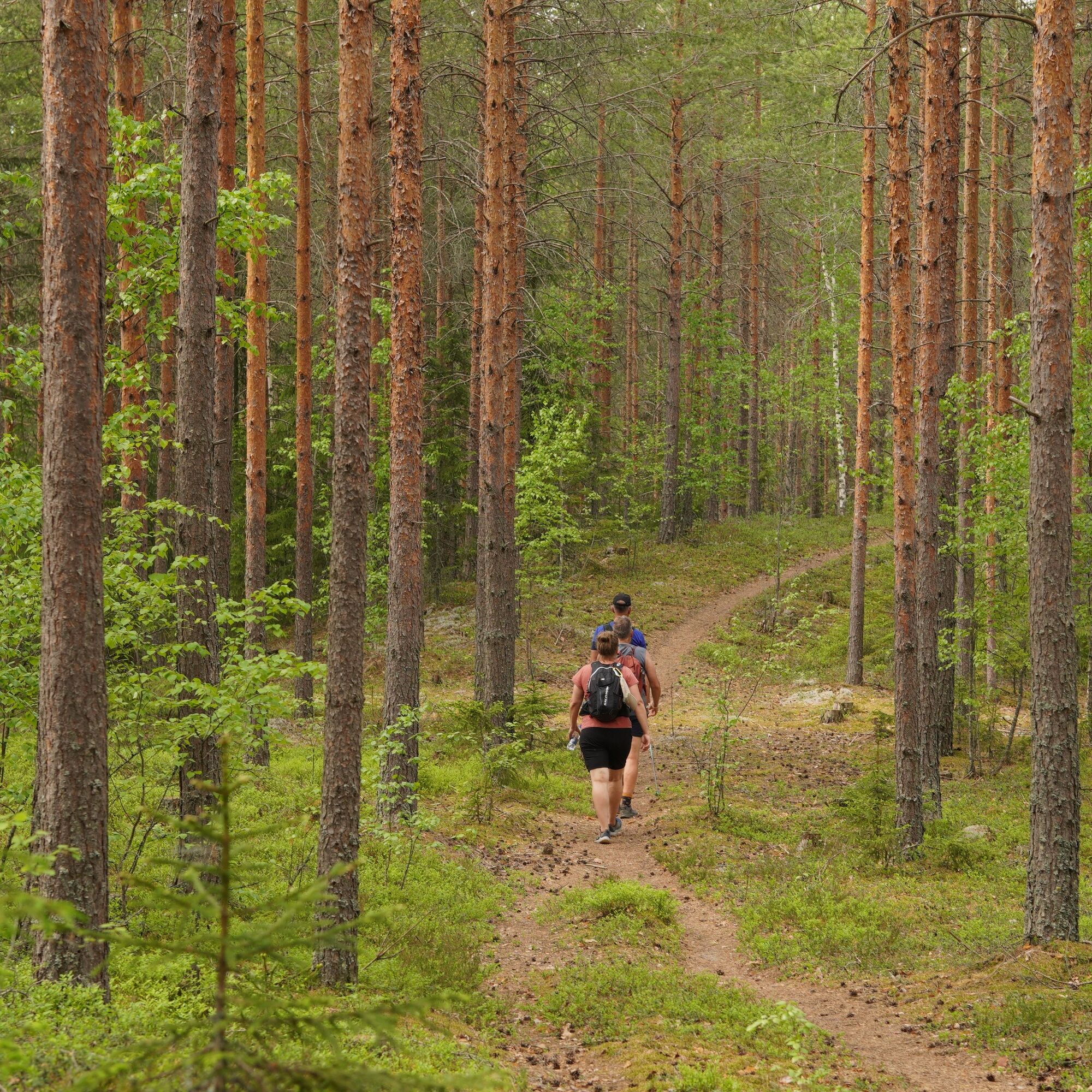
The Janakkala Ridge Trail 15 km


The route has beautiful spots on the ridges, from where you can admire the Häme landscape far above the treetops. The trail runs along a long longitudinal ridge section that continues from Hausjärvi to...
The route has beautiful spots on the ridges, from where you can admire the Häme landscape far above the treetops. The trail runs along a long longitudinal ridge section that continues from Hausjärvi to Hämeenlinna. The terrain is mainly pine forest, but occasionally the trail dives down into almost a swampy terrain.
Along the way you will find Kiipula with its services and fireplaces, as well as the Janakkala Latu hut, which can be rented. There is also a fireplace and a dry toilet in the courtyard of the Janakkala Latu hut, which are available to hikers. Next to the trail you can find the magnificent Someronlähde spring that is worth visiting. After the hike, you can take a refreshing swim at either end of the trail: at Lake Ahilammi or Liinalammi in Turenki and Lake Kolmilammi in Ryttylä.

Reitti on kuljettavissa sulan maan aikaan patikoiden ja pyörällä, joskin välissä on pyörille muutamia haastavampia osuuksia.
Reitille pääsee helposti Turengin ja Ryttylän rautatieasemilta.
Polku kulkee pääosin yksityisillä mailla, pysythän poluilla ja noudatat jokaisenoikeuksia.
Ja
Sneakers or hiking boots and weatherproof clothing.
The route is not marked on the terrain, so it is advisable to have a map and compass or downloaded route information on your phone.
There are some rhizomes on the paths, which can be slippery after rain.
Mountain bikers and those with dogs should be aware that horses also use the trail. Please respect other trail users.
Turenki railway station is a 15-minute walk from the starting point of the route.
From the end point, 2.5 km to Ryttylä railway station.
Parking at Hakamäki sports field at Tykkivajantie 1, Turenki.
From the local farmers shop and cafe Hakolan Marjatila you can find baked goods made from local ingredients, farm produce and juices. Lunch is also available on request. Hakolan Marjatila is open all year round on Fridays and Saturdays, on event days and by appointment. You can find opening times and current information here. The farm is a little off the track, but well worth a visit.
Stop at Someronlähde to admire the spring in the middle of the forest. According to local stories about history, the spring has served as a source of sacrifice.
Beliebte Touren in der Nähe
Vanajavesi paddling route
Kajak / Kanu122,4 kmKiipula mountain bike trail 10.7 km
mittelMountainbike10,6 kmTarinapolku
leichtThemenweg0,60 kmRiver Toivanjoki paddling route
Kajak / Kanu8,91 kmPikku-Sisun kierros 12 km
leichtRadfahren12,1 kmJanakkala Tour 2022
Radfahren94,1 kmKeskusta - Tikkurilan kirkko - Malmimäki - Tampere
leichtFernradweg253,9 kmHausjärvi - Apilisto
mittelWanderung10,3 kmHausjärvi - Turkhauta
mittelWanderung8,01 kmHämeenlinna - Turenki - Myöhempien Aikojen Pyhien Jeesuksen Kristuksen Kirkko
leichtGravelbike33,0 km
Wandern & Tracking


Verpasse keine Angebote und Inspirationen für deinen nächsten Urlaub
Deine E-Mail-Adresse wurde in den Verteiler eingetragen.