


Rudolf trail


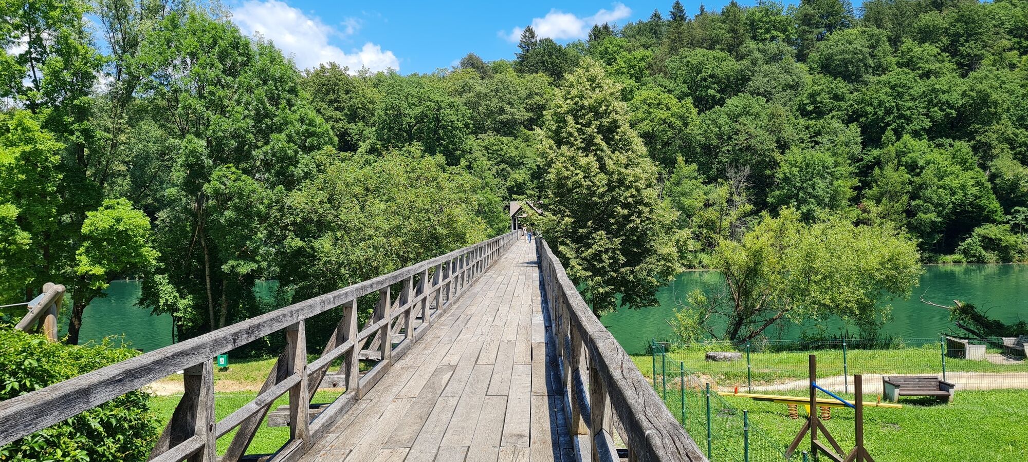
Most of the trail leads along the Krka River through villages, along rural paths and past numerous vine-clad hills full of vineyards, considered to be an ethnological peculiarity of Dolenjska. There are...
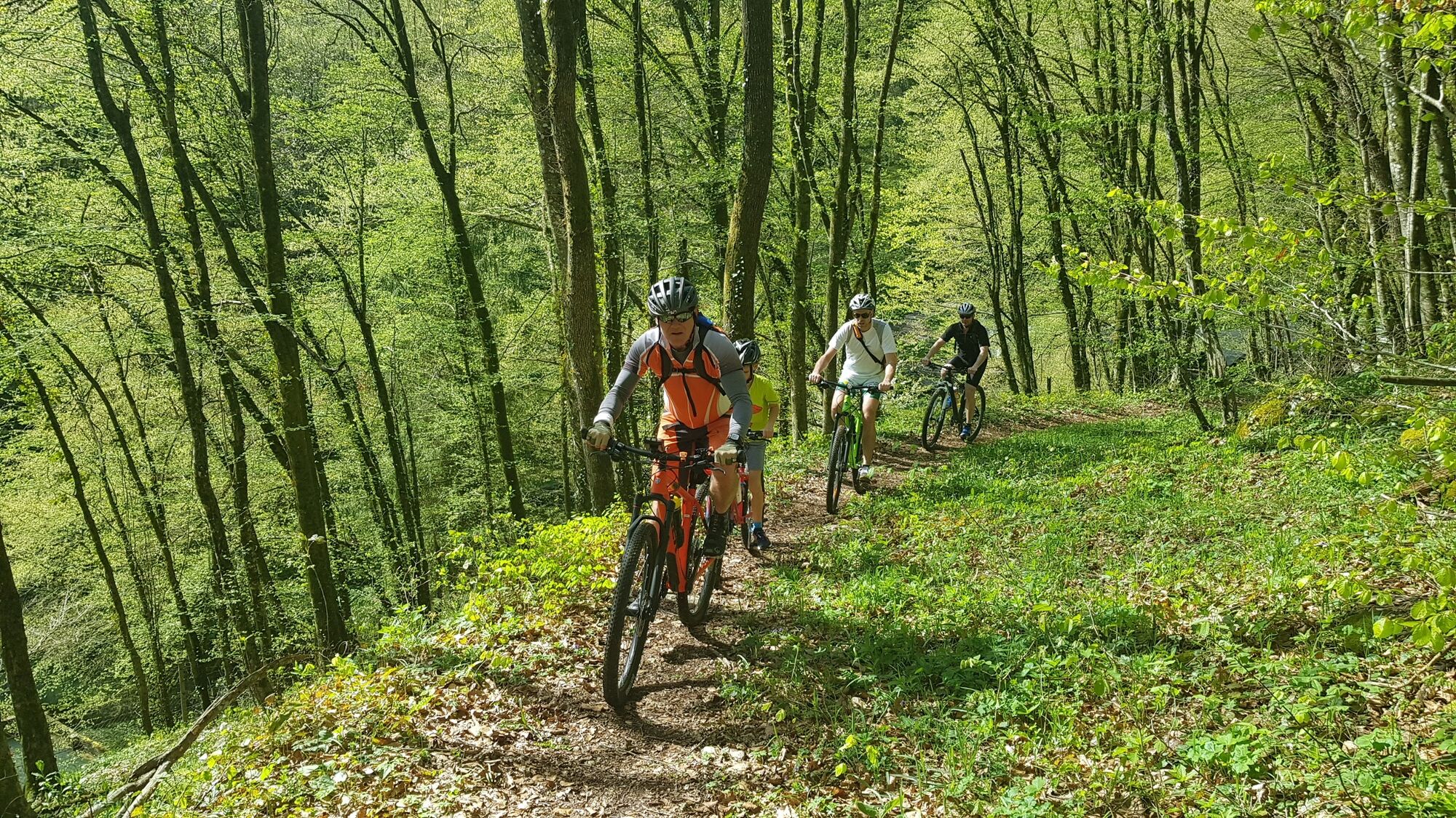
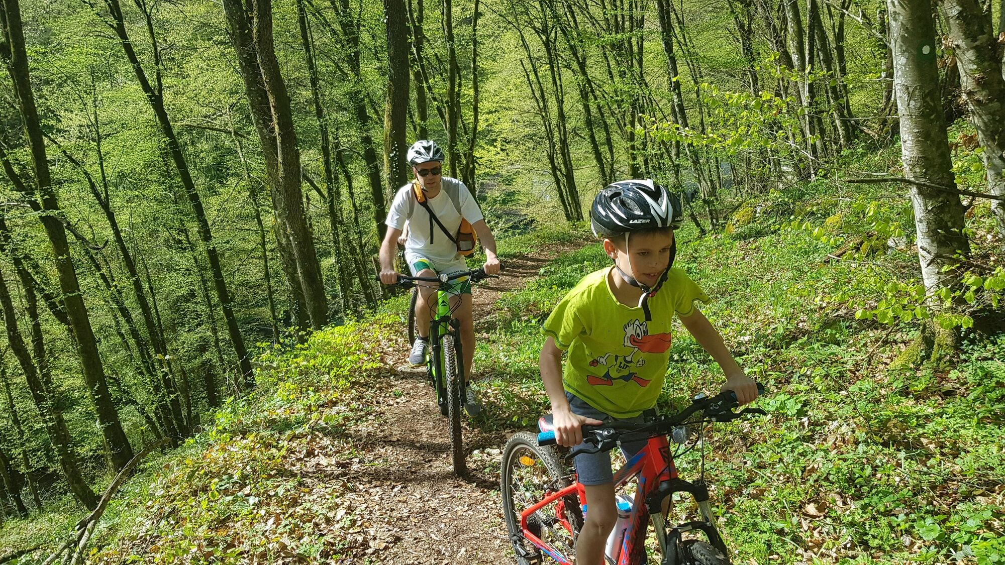
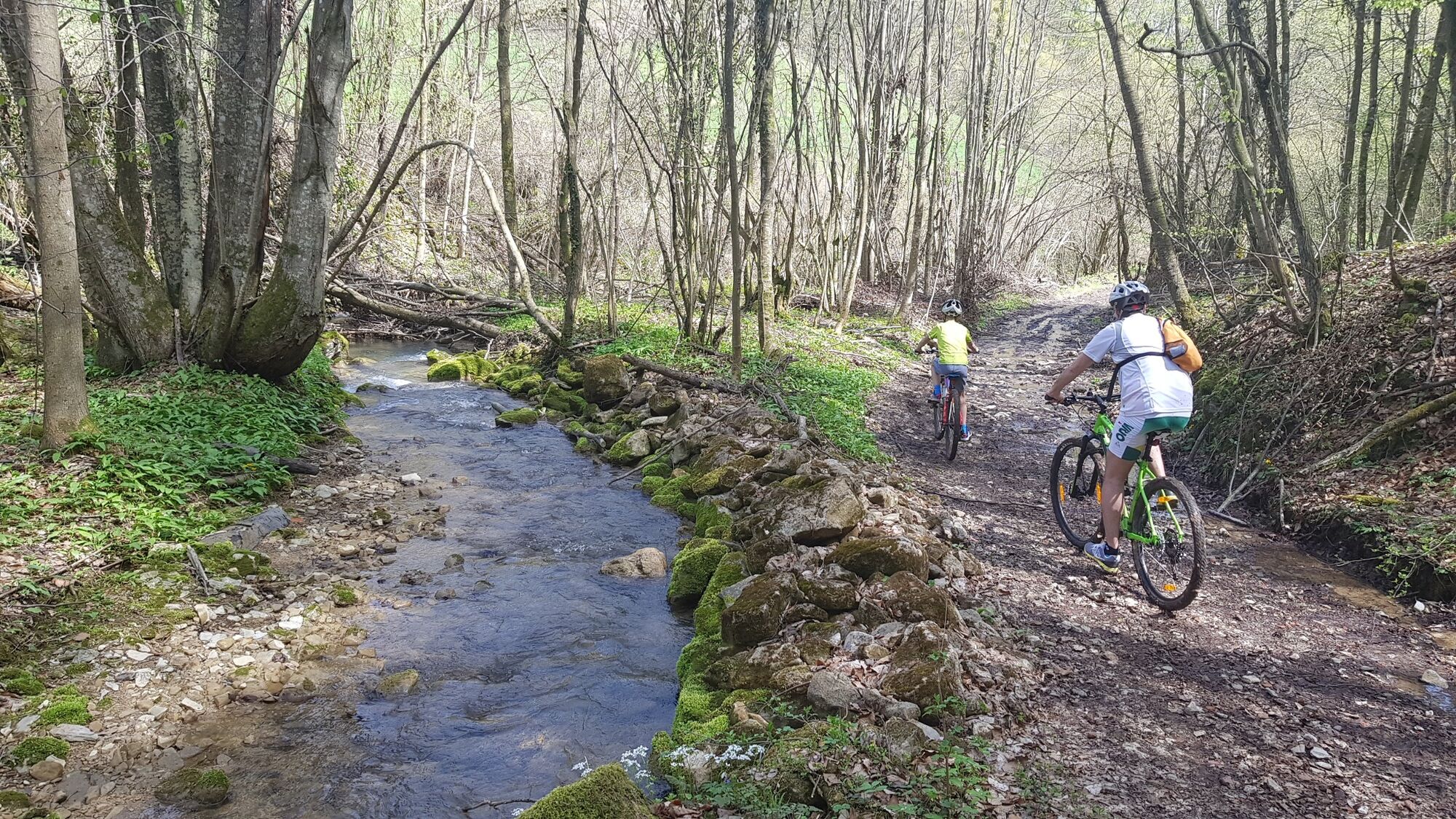
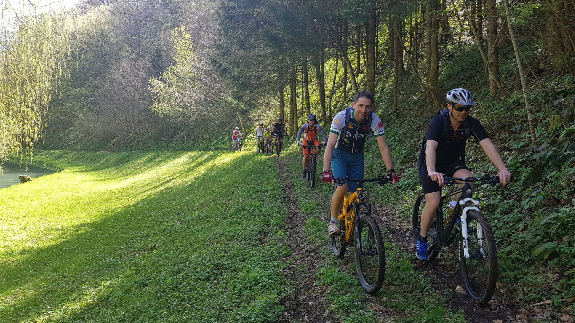
Most of the trail leads along the Krka River through villages, along rural paths and past numerous vine-clad hills full of vineyards, considered to be an ethnological peculiarity of Dolenjska. There are several wooded sections along unpaved terrain, so the trail is only suitable for a mountain bike. The route may require a bit more focus and technical skill at particular sections.

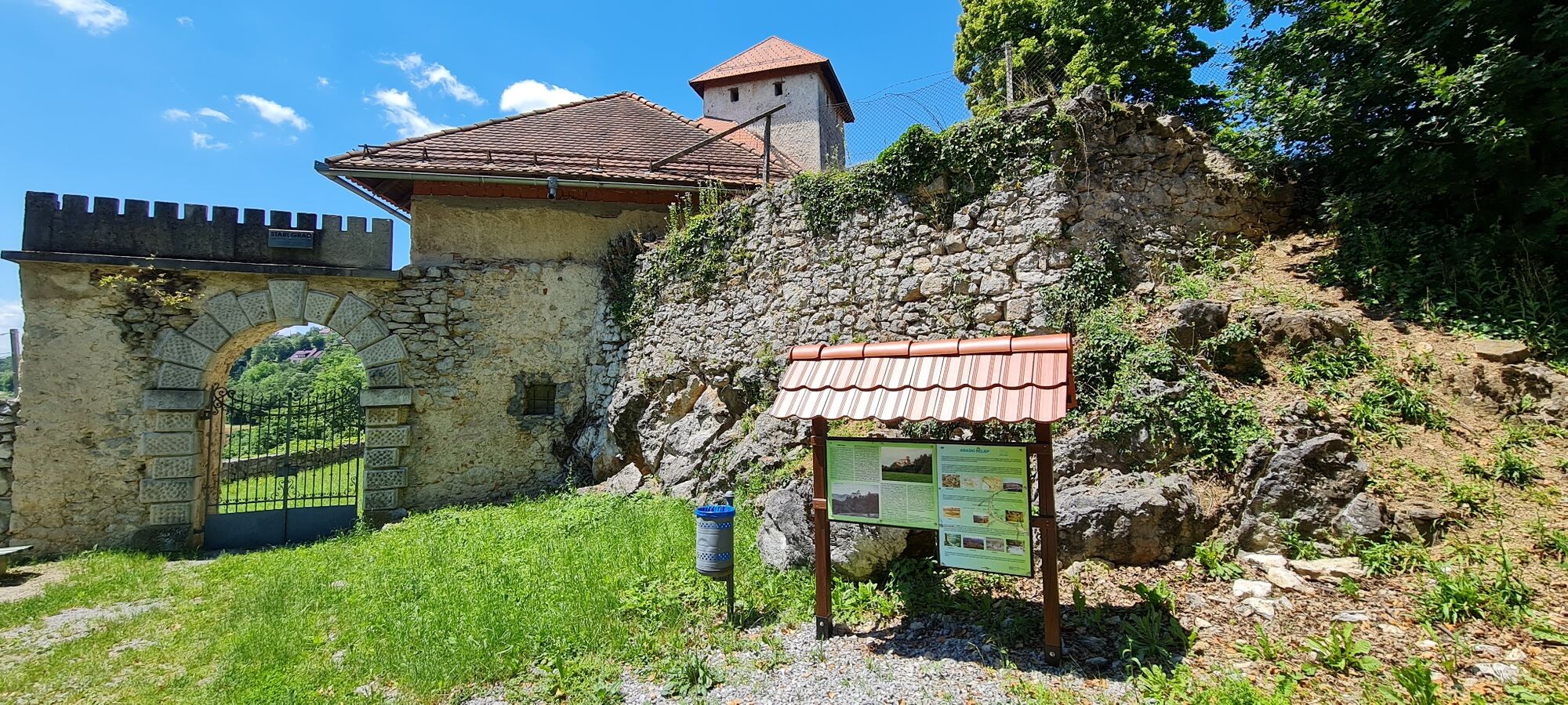
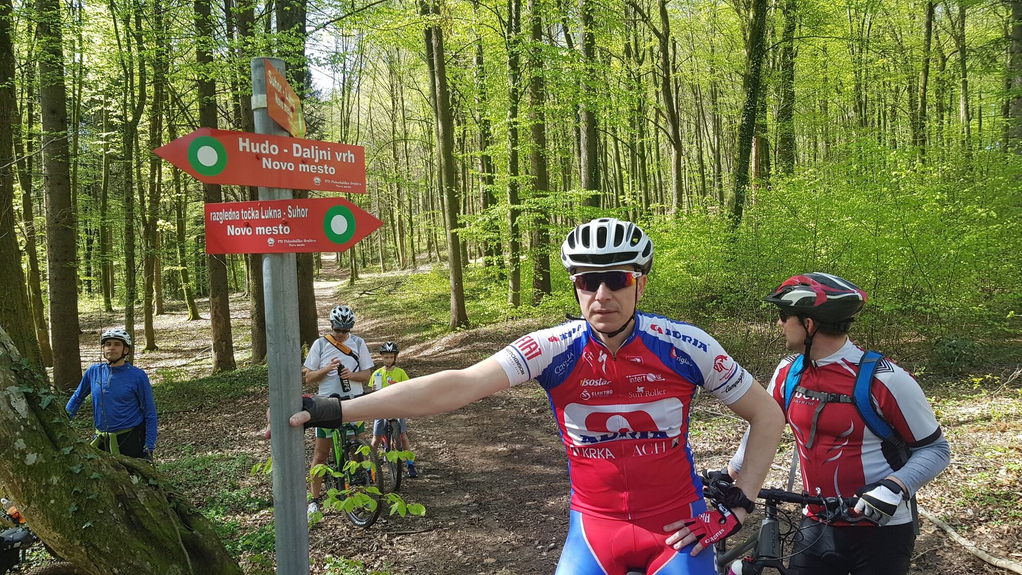
Novo mesto–ŽupanÄiÄ Promenade–Groblje–the Temenica River–the ÄŒešÄa vas Equestrian Centre–PreÄna–airfield–Luknja Castle–Kuzarjev Kal–Hudo–Daljni Vrh–Dolenje and Gorenje Kamenje–Golušnik–Koti–Stari grad–past the OtoÄec Primary School and over the bridge to Žihovo selo–the village of Krka– Ragovo–Ragov log–bridge over the Krka River–Novo mesto
Helmet
Novo Mesto is situated near the highway Ljubljana-Zagreb
Novo Mesto is reachable by bus or train
Available
Highlights on the trail:
the Old Town, ŽupanÄiÄ Promenade,
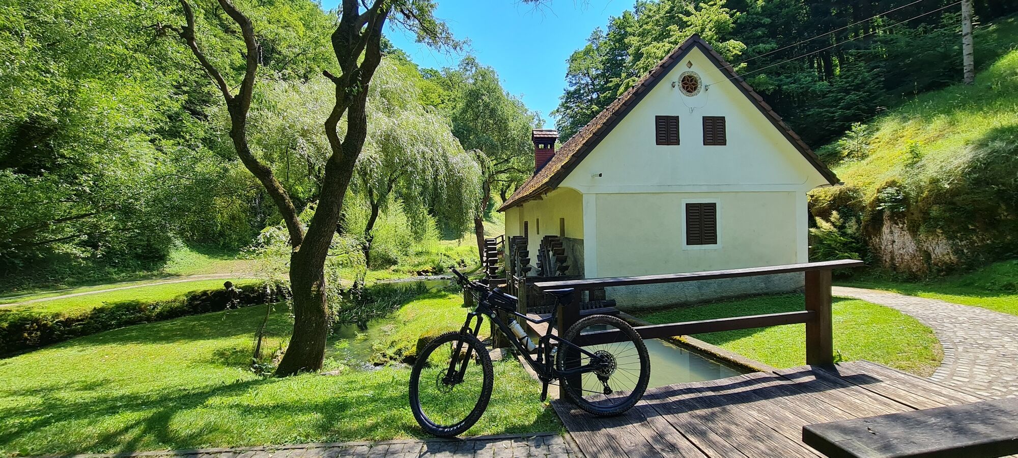
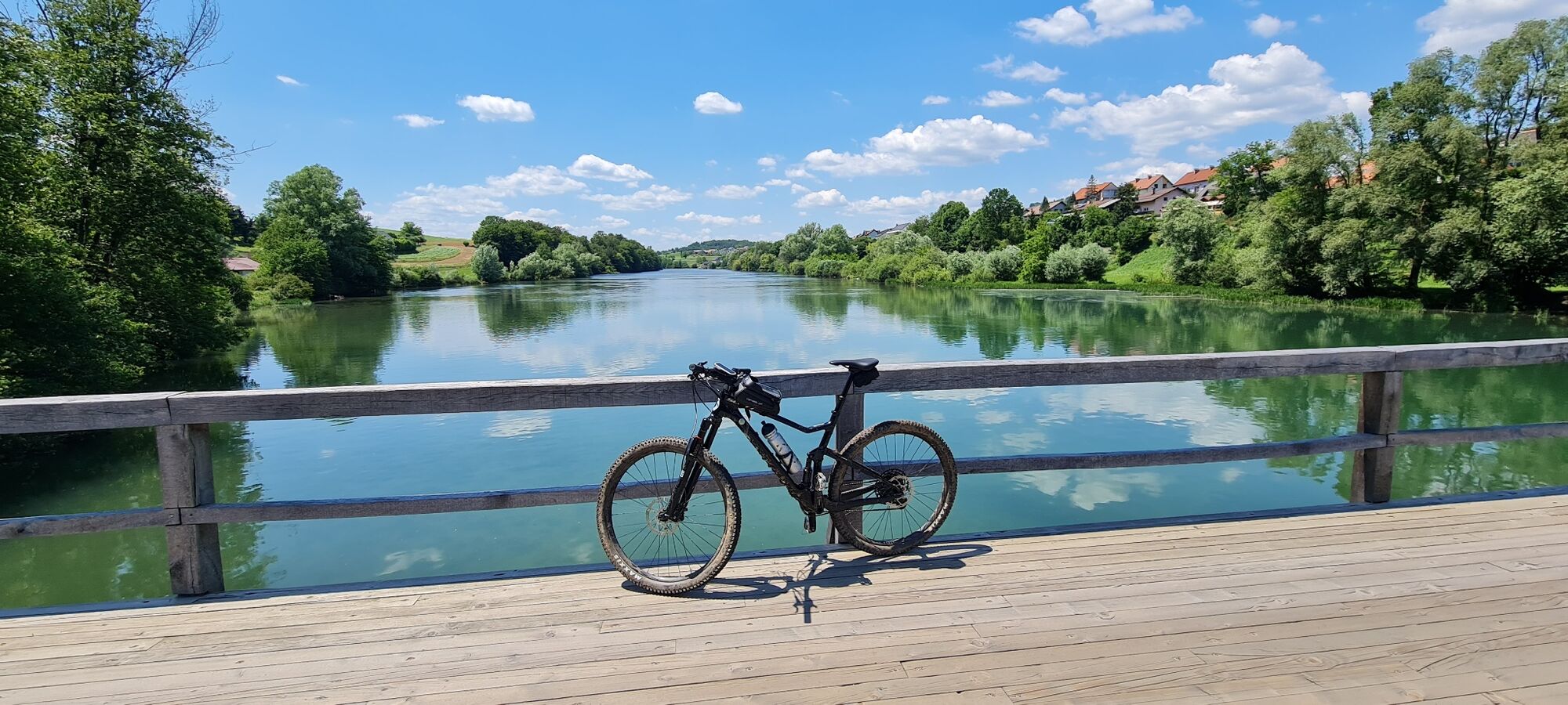
the Krka River, the Temenica River,
the wetlands in Zalog (bird watching),
the ÄŒešÄa vas Equestrian Centre,
the Novo mesto recreational airfield,
Luknja, Luknja Castle,
the NOB (national liberation struggle) memorial park in Kuzarjev Kal,
the Becele Cave (NOB monument),
Stari grad,
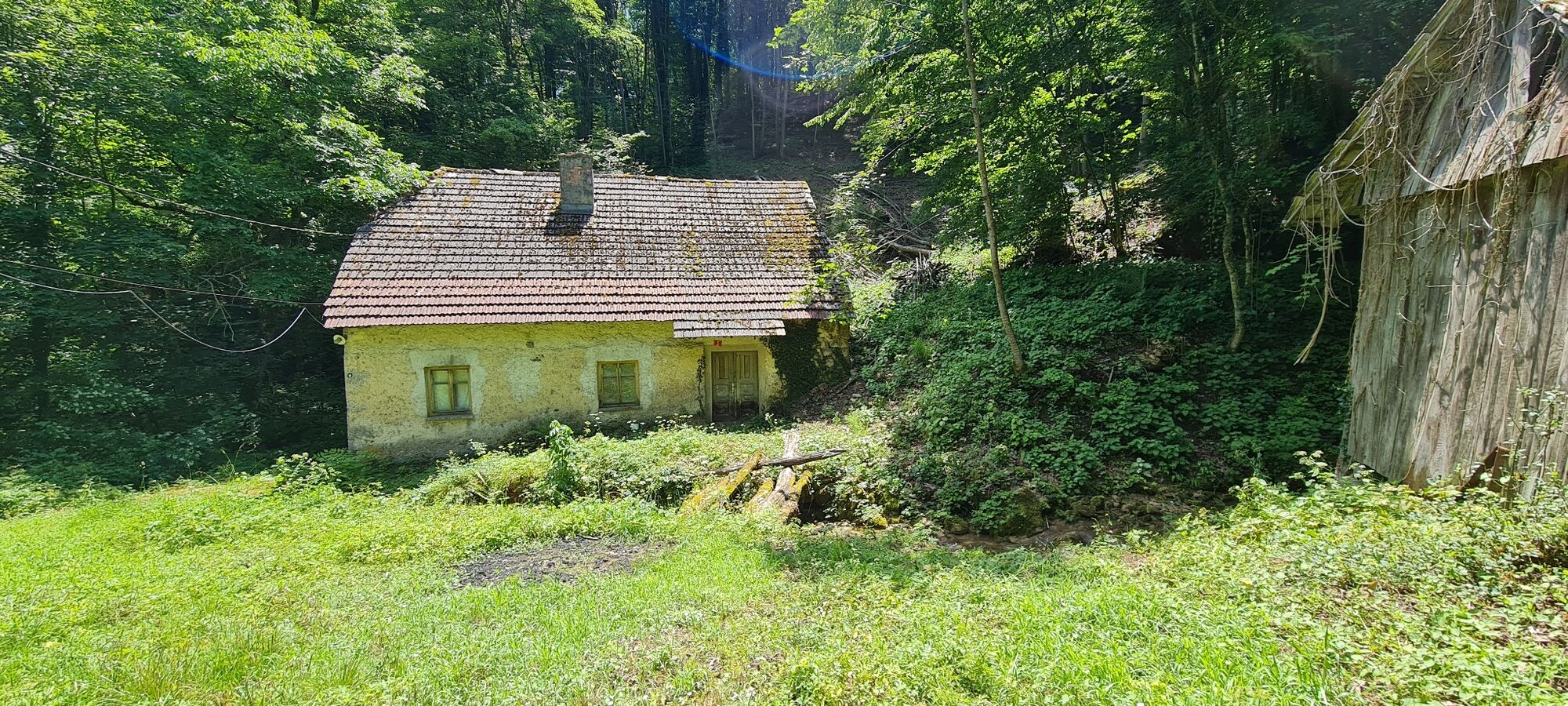
Ragov log
Beliebte Touren in der Nähe
Andrijaniceva Herzweg Šmarješke Toplice- Otočec
leichtThemenweg4,62 km- 2,0
Trdinova Herzweg Gorjanci
mittelThemenweg10,5 km - 5,0
Cycling trail from Novo Mesto to Dolenjske Toplice
leichtRadfahren14,9 km Cycling trail from Šmarješke Toplice to Škocjan
mittelRadfahren10,4 kmDer Bären-Radweg
schwerMountainbike50,5 km21 bridges of the river Krka
schwerMountainbike95,7 kmCycling trail Novo Mesto - Žbure
mittelRadfahren18,6 kmMountainbiketour rund um Novo Mesto
mittelMountainbike34,8 kmFrom Novo Mesto to the warm spring of Klevevž
mittelMountainbike41,4 kmRefreshing cycling along the Radulja stream
mittelMountainbike43,1 km
Wandern & Tracking


Verpasse keine Angebote und Inspirationen für deinen nächsten Urlaub
Deine E-Mail-Adresse wurde in den Verteiler eingetragen.