


Both sides of the Nurmonjoki


This circular route begins from Nurmo Church in Nurmo, Seinäjoki.
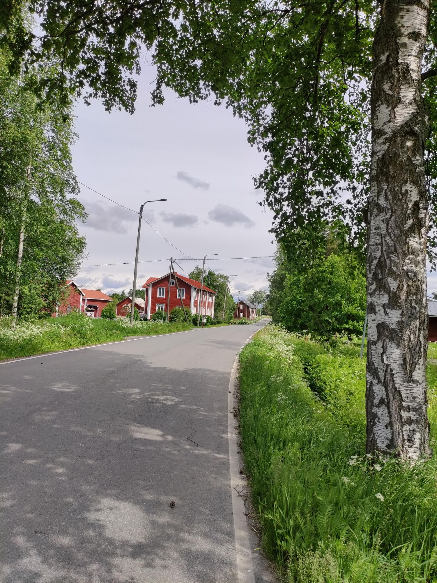
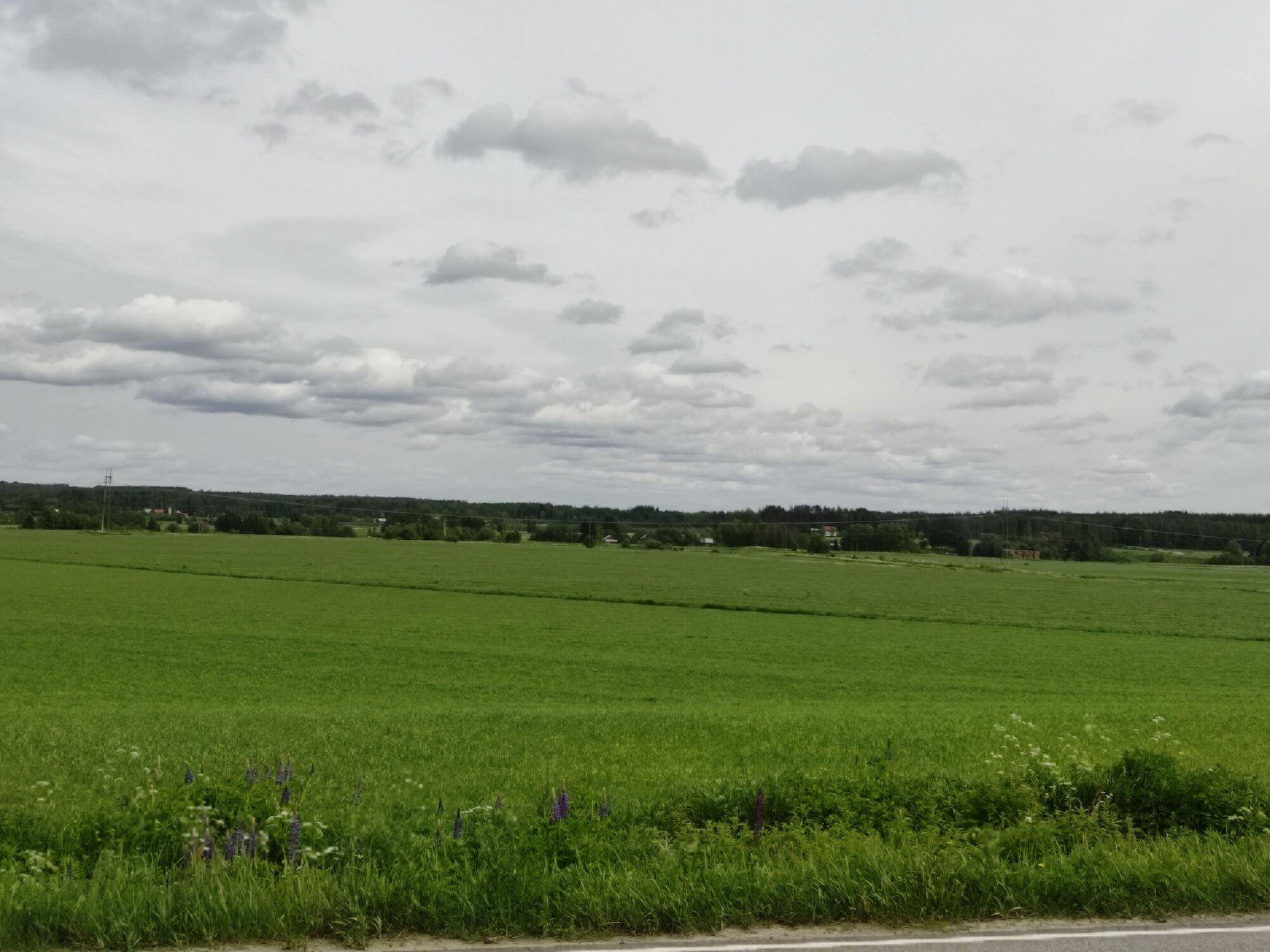
South Ostrobothnian villages were built along rivers, where vast fields were also cleared. A circular route from Seinäjoki to Lapua – or...
This circular route begins from Nurmo Church in Nurmo, Seinäjoki.
South Ostrobothnian villages were built along rivers, where vast fields were also cleared. A circular route from Seinäjoki to Lapua – or from Lapua to Seinäjoki – and back along the Nurmo River offers a pleasant outing and a great opportunity to see typical Ostrobothnian countryside, with its fields and village roads. Lapua is home to numerous restaurants and shops and its Vannha Paukku Culture Centre and Jokilaakso Garden Centre offer plenty to see and do.
If you start from Lapua, the centre of Seinäjoki is located about eight kilometres from Nurmo Church. In the centre of Nurmo, you can find shops and Seinäjoki’s Hyllykallio district with its Prisma hypermarket located 4.5 km away.

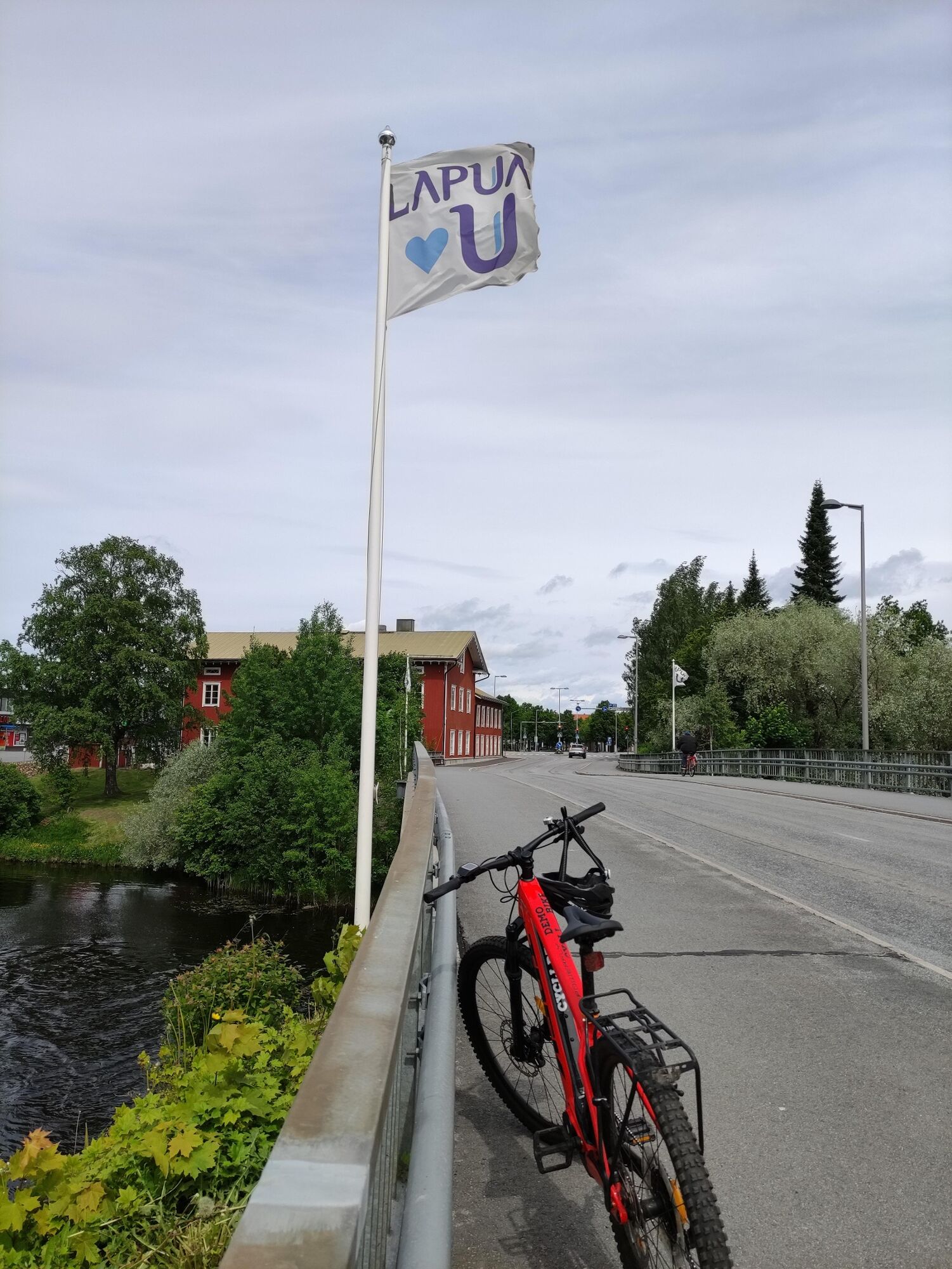


Starting from Nurmo Church, the route first runs along Nurmonjärventie, which turns sharply to the left after about 350 metres. Continue along Nurmonjärventie to the north towards Lapua. After about 5.7 km, the name of the road changes to Koskenkyläntie. Carry on along the road for another 12.6 km until you arrive in the centre of Lapua. After crossing over the Lapuanjoki, turn left at the crossroads to Poutuntie and continue for 450 metres to the next crossroads, where you make another left turn onto Simpsiöntie before crossing the Lapuanjoki. After the bridge, take the second left onto Alanurmontie (Road 7041). Cycle for 18 km until you come to the Nurmo church. The name of the road changes to Länsipuolentie and then to Länsitie, but the road number remains the same.
Near Nurmo and Lapua, the route has cycling lanes but most of the route runs along a smaller village road with only a narrow hard shoulder or no hard shoulder at all. Take care when cycling along these stretches even though other road users are considerate and give way to other traffic.
When preparing to cycle this route, take the day’s wind conditions into account as it runs across open farming land, which is susceptible to strong winds.
Beliebte Touren in der Nähe
Tohni Church Road
mittelFernradweg116,8 kmKeski-Nurmo’s Bridges
leichtRadfahren33,0 kmPaukaneva Trail
leichtWanderung6,21 kmSaarenkangas - Simpsiö
mittelMountainbike9,41 kmLapua
leichtWanderung1,87 kmLapua - Myllykylä - Pajakappeli
leichtRadfahren13,4 kmKerkkä - Simpsiö - Saarenkangas
mittelWanderung2,76 kmSimpsiö - Kerkkä - Saarenkangas
mittelWanderung3,74 kmSimpsiö
mittelWanderung6,84 kmLapua - Ritamäki - Ritametsä
leichtWanderung5,18 km
Wandern & Tracking


Verpasse keine Angebote und Inspirationen für deinen nächsten Urlaub
Deine E-Mail-Adresse wurde in den Verteiler eingetragen.