


Radweg des Eisernen Vorhangs von Imatra nach Parikkala


Dieser finnische Abschnitt des Europa-Radwegs 13 folgt bis nach Näätämö im Norden so nahe wie möglich dem Verlauf der Grenze zwischen Finnland und Russland. Die ruhigen Wege sind in gutem Zustand und führen...
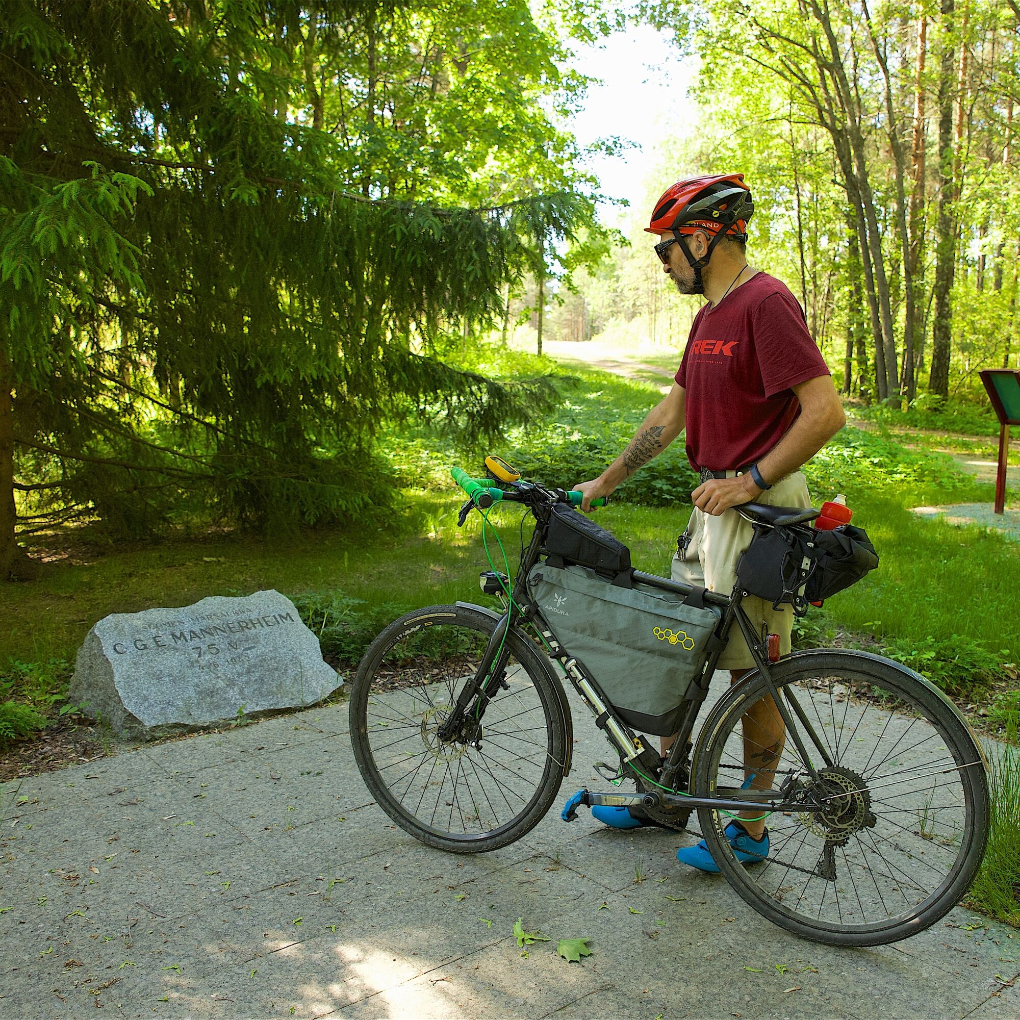
Dieser finnische Abschnitt des Europa-Radwegs 13 folgt bis nach Näätämö im Norden so nahe wie möglich dem Verlauf der Grenze zwischen Finnland und Russland. Die ruhigen Wege sind in gutem Zustand und führen durch wunderschöne finnische Waldlandschaft. In Südkarelien kann man den Weg von Lappeenranta bis Parikkala radeln, von wo man durch die alten Grenzgebiete nach Imatra zurückfahren kann. Der Weg eignet sich wunderbar für eine 2-3-tägige Radtour. Von Parikkala kann man mit der Bahn zurückfahren, in diesem Fall ist die Strecke ca. 80 km lang. Die hier beschriebene Route beginnt in Imatra. Übernachtungsmöglichkeiten gibt es im Zentrum von Imatra sowie am Ufer des Saimaa im Erholungsgebiet Rauha & Ukonniemi.

Imatra’s most significant nature attraction is Imatrankoski and Vuoksi, as well as the Kruununpuisto Park with its urban streams that surround the area. Vuoksi’s amazing rapids is both a key element in the cityscape of Imatra and the outlet of Vuoksi’s waterway to Laatokka. Vuoksi was created with enormous force approx. 5,700 years ago, leaving behind a multitude of rapids on its way to Laatokka. Alongside Vuoksi, the route continues along a pedestrian and bicycle path towards Imatra’s district of Vuoksenniska, which exudes industrial history. It formed at a traffic hub and, along with forest industry, developed in to a lively central business district.
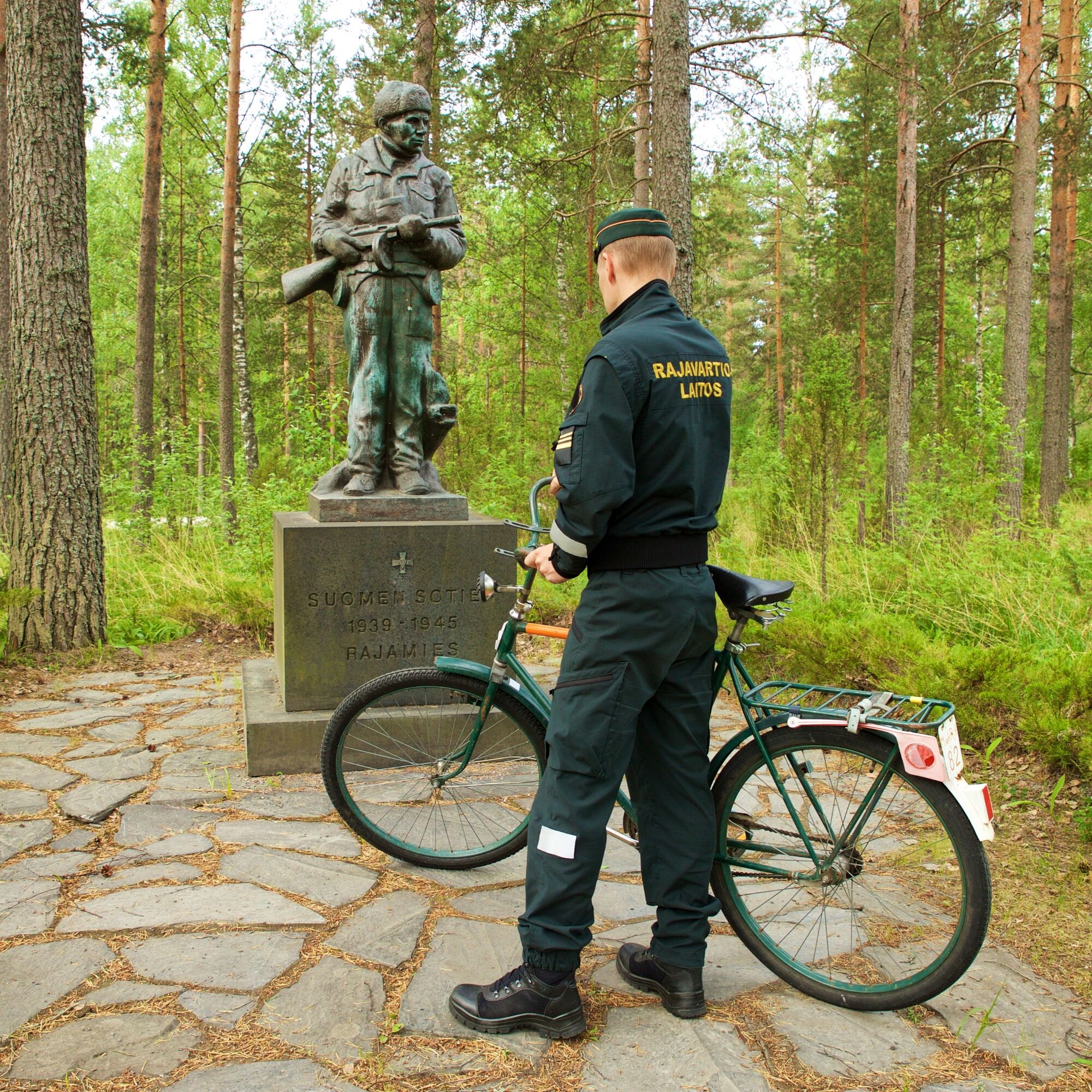
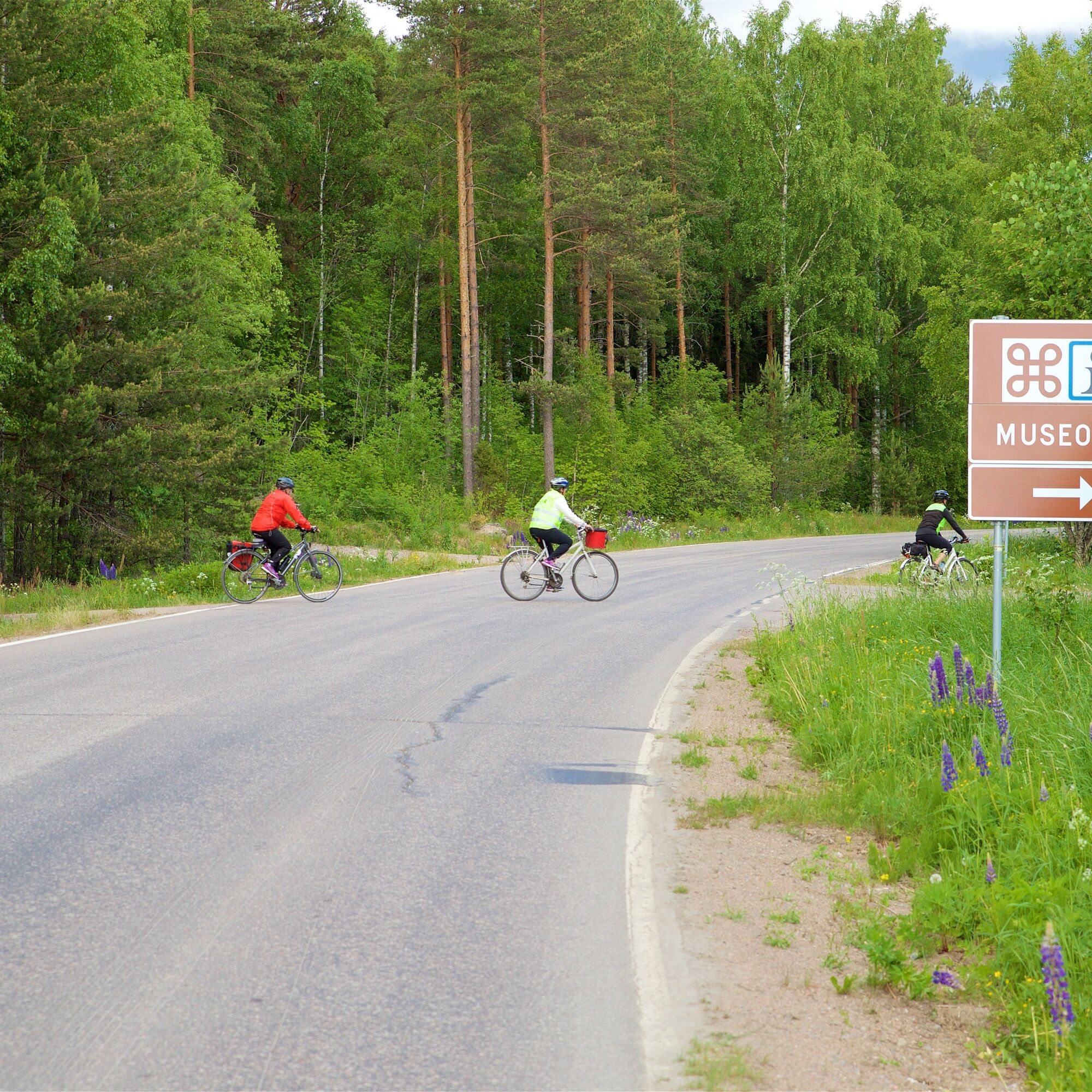
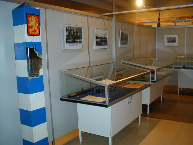
From Vuoksenniska, the route continues to Niskapietilä’s Museotie, at the beginning of which it is worth visiting the Border Museum, where you can indulge in the history of the Finnish Border Guard and the Finnish borders, as well as the work and life of border guards since the early years of independence. Until the 1960s, Museotie was Highway 6, and centuries earlier it operated as a military road. The road has lots of hills in places, but the inclinations are not very steep.
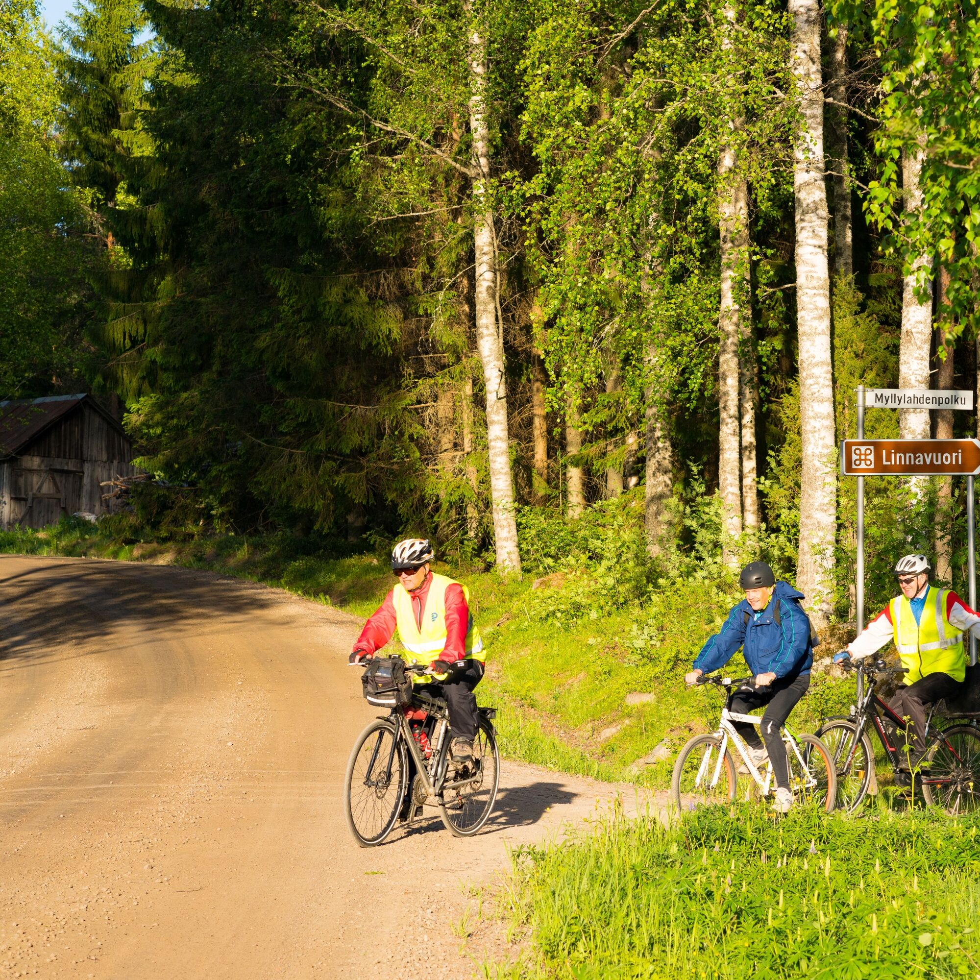
You can take a two-kilometre detour from Museotie along a dirt road to Lassila’s hillfort, where there are signs and information boards. The hillfort is above the shore of Latvajärvi, close to the Russian border. It is worth climbing to the top for the stunning views. From the cave, you can do a loop via Lassila to get back to Museotie. If you do not wish to visit the hillfort, you will reach Kuokkalampi’s Hyppykallio, which is signposted from Kuokkalammintie. There is no path to the rock. The information board at the top of it describes the history behind the name that dates back to the 1700s Great Northern War.
In Miettilä, you can take a break at the museum barracks area of the old Russian army, and familiarise in the events of the Winter War at the Kollaa and Simo Häyhä museum. Before the industrial urban area of Simpele, you can stretch and take a rest on Hiitolanjoki’s scenic path, along which you can explore museum-aged water plants and enjoy a picnic at the barbecue shelter. There are accommodation and dining services available in Simpele and its vicinity.
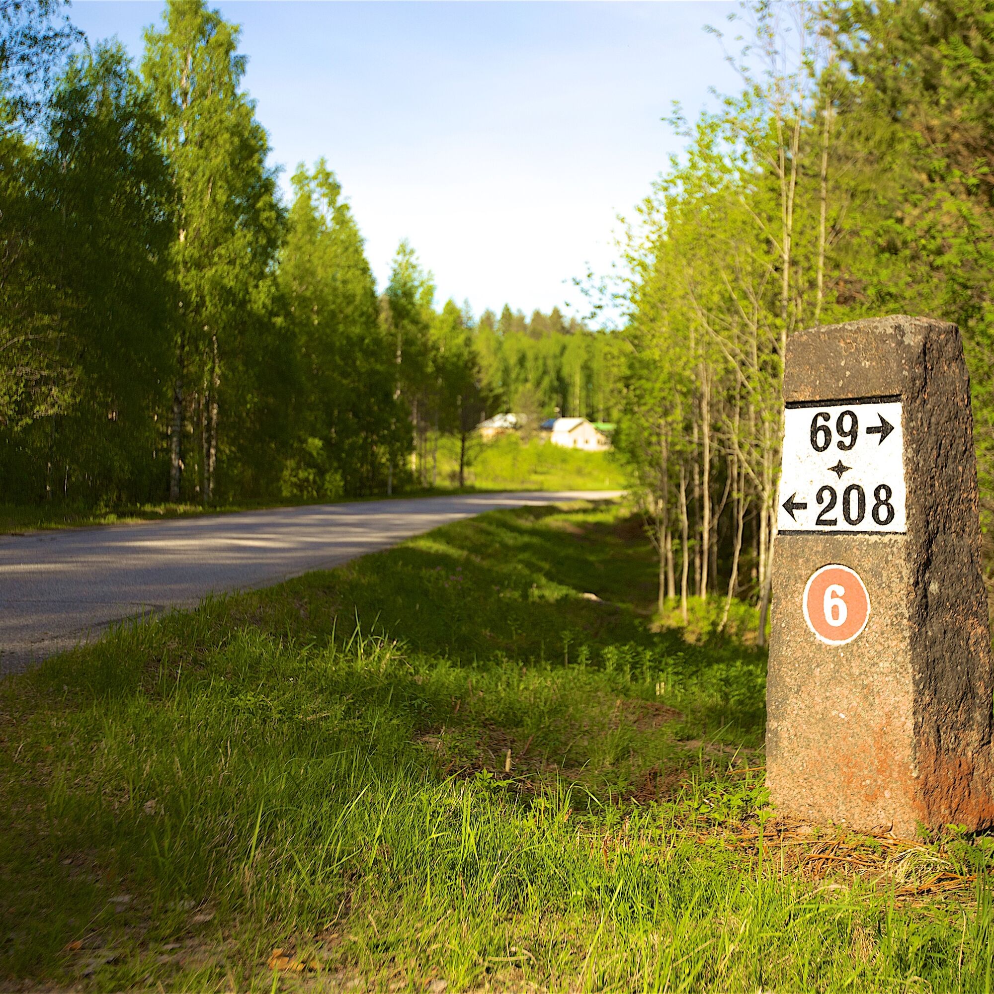
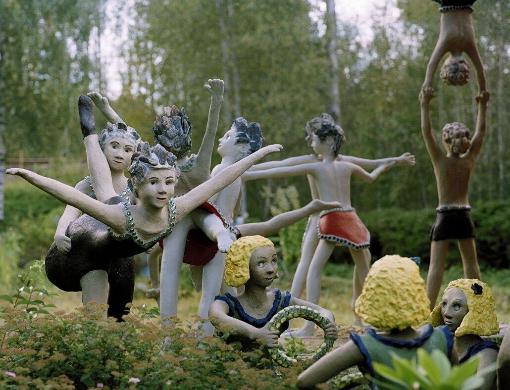
The route continues towards Parikkala along a road that is surrounded by fields and lakes. In the vicinity of the Russian-Finnish border, we bicycle a few kilometres along Highway 6. On route, you can enjoy the delicacies offered at the Iloinen Pässi farm shop, and admire the concrete residents of Parikkala’s Patsaspuisto park. There are more than 500 different cast statues and the park has been named one of the world’s scariest tourist attractions. Right after the statue park, the border zone continues at the side of the highway.
We get closer to Parikkala along the beautiful Risimäki road, where you can almost feel history exuding from the old houses. In Parikkala, as is the case elsewhere in Southern Karelia, there are many memorials in memory of those who fell at war. An interesting accommodation option is Hotel-Restaurant Kägöne, which is located along Highway 6, which is a stunning log building that represents Karelian architecture.
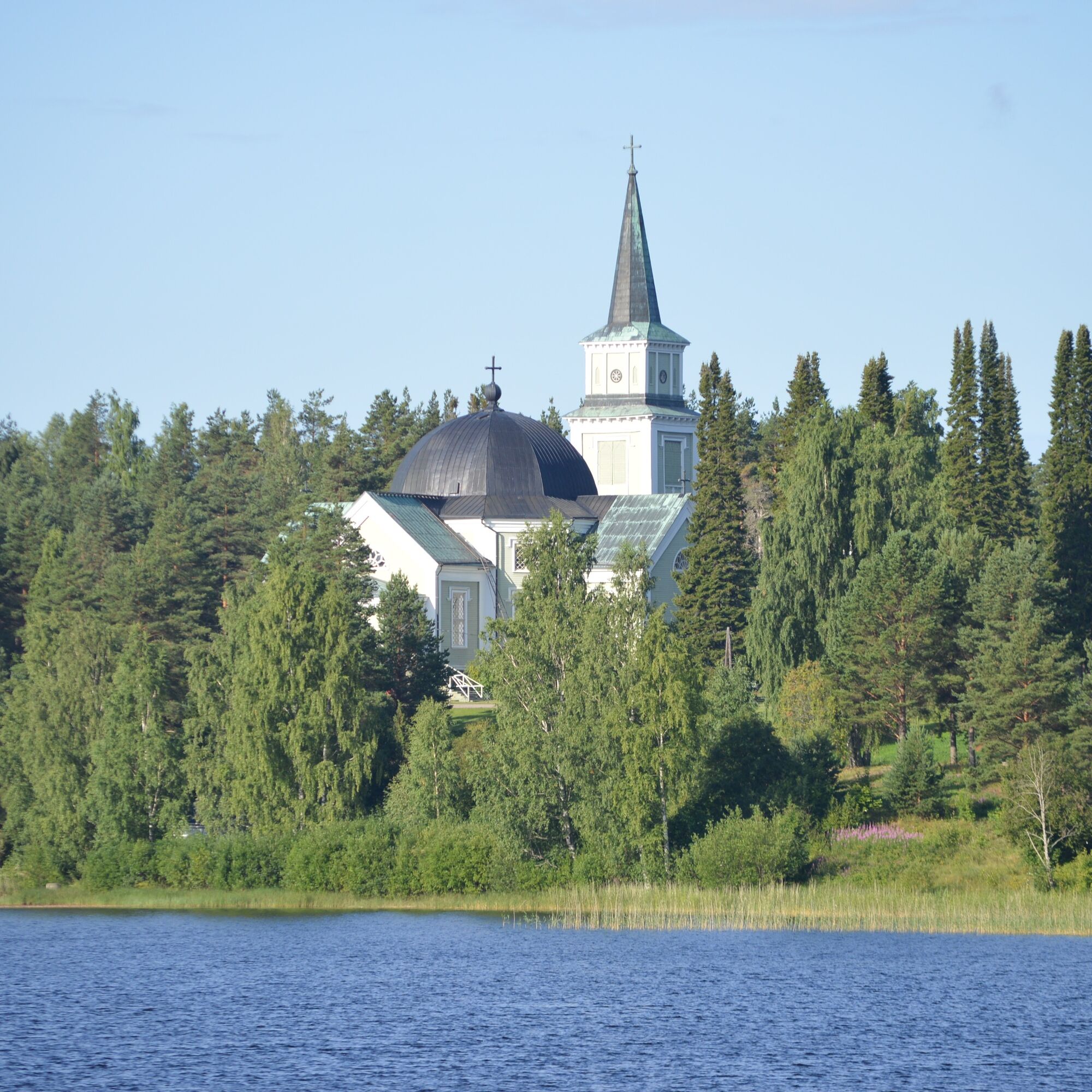
Siikalahti, which is located in the vicinity of the built-up area of Parikkala, is the eastern bay of Lake Simpelejärvi, where an exceptionally diverse nesting and migratory bird population makes it a true bird paradise: you can see more than one hundred species in one day. It may be quiet at the bird lake during mid-summer, but as a natural site it still worth seeing.
Alternatives for return
From Parikkala, you can return to Imatra by train or head to Savonlinna by train or bicycle. Of course, you can also bicycle back to Imatra, in which case the return route offers peaceful forest views within the century-old border zone. From the centre of Parikkala, the route first heads towards Särkisalmi, which splits Simpelejärvi in half.
When leaving Särkisalmi, ensure you have enough snacks and drinks with you, because there are no commercial services along the next stretch of the route. The roads are narrow and bendy dirt roads. Cyclists will feel completely in the middle of nature. It is worth visiting Haukkavuori, although it extends the trip by two kilometres along the road and then one more kilometre along a path.
Haukkavuori, which is located at the border of the municipalities of Ruokolahti and Rautjärvi, is the highest peak in Southern Karelia, which extends to a height of approx. 80 m from the surface of Lake Sarajärvi. The views from the top are stunning. Haukkavuori is a one of three Swedish and Russian border points, where observant ones will find the border marker of the Treaty of Nystad from 1722. The other treaties that have travelled via Haukkavuori are Pähkinäsaari (1323) and Täyssinä (1595). There are a total of nine treaties between Russia and Sweden, as well as later Soviet Union and Finland.
From Haukkavuori, we return to Sarajärventie and continue towards Torsajärvi. At the north end of the lake, at Torsanpää, there is a break area and nearby you will find a wetland path and a cosy lean-to shelter. Two kilometres away at Pohjalankila, Cafe Käpälämäki serves meals and drinks.
From Pohjalankila, we cycle along surfaced side roads, first to Virmutjoki and from there to Ruokolahti alongside a busier road. In the centre of Ruokolahti, in Rasila, there are a lot of commercial services, including restaurants. Ruokolahti’s lion can be seen at the market square in the form of a statue.
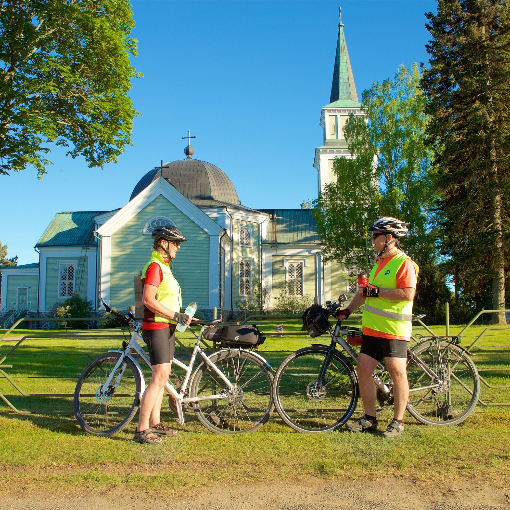
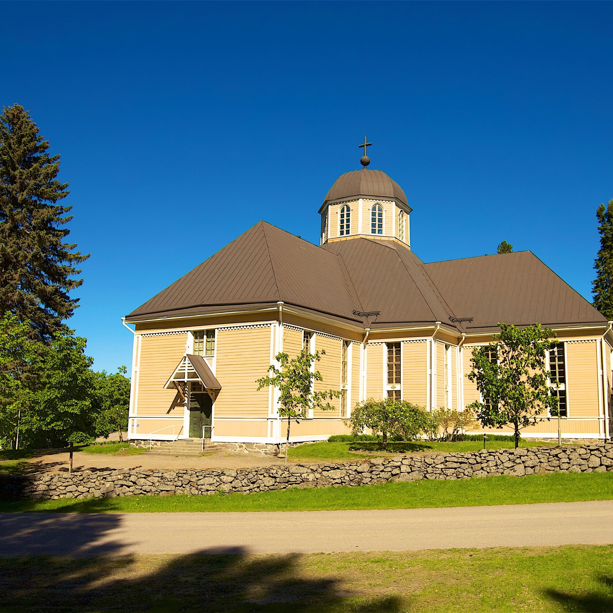
Approximately one kilometre from the centre is Ruokolahti Church Hill, where the bell tower that was built in 1752 and the church that was built in 1854 tell about the history. Albert Eldelfelt’s well-known painting Women outside the Church at Ruokolahti can be found at the southeast corner of the church. There is a local history museum and Ruokolahti House, with its summer cafes, at the Church Hill. At Ruokolahti the journey continues via Salosaari and Vuoksenniska to Imatra, where spa, hotel and restaurant services await cyclists.
Ja
Kleide dich regelmäßig für die Reise. Es wäre ratsam, EA-Ausrüstung, Regenbekleidung, Ersatzkleidung sowie angemessene Snacks und Getränke mit einzubeziehen.
In unbekannter Umgebung bewegen Sie sich am sichersten in der Gruppe, ganz gleich, ob an Land oder auf dem Wasser. Besorgen Sie vor der Tour die erforderlichen Landkarten und Wanderführer. Informieren Sie sich über die aktuellen Wetterprognosen, insbesondere vor Wasserausflügen. Denken Sie an wettergerechte Bekleidung und festes Schuhwerk. Empfehlenswert ist auch, ein Erste-Hilfe-Set, Regenbekleidung und Wechselsachen mitzuführen. Nehmen Sie zudem ausreichend Getränke mit, vor allem im Sommer. Bei Fahrten über Flüsse oder Seen sind Schwimmwesten obligatorisch.
Bei nasser Witterung und im Winter kann auf Holzstegen, Felsen und Bootsstegen erhöhte Rutschgefahr bestehen.
Auf Wanderwegen erfolgt kein Winterdienst.
Die Notrufnummer in Finnland ist 112. Geben Sie Ihre Position an, berichten Sie, was passiert ist und folgen Sie den Anweisungen.
Sie können die Route vom Imatra Travel Center verlassen, Adresse: Koskikatu 1, 55120 Imatra.
Sie können von der Strecke vom Bahnhof Parikkala zurückkehren, Adresse: Parikkalantie 12, 59100 Parikkala.
Züge nach Imatra und Parikkala.
Das Imatra Travel Center verfügt über kostenlose Parkplätze.
Die Route kann mit der Lintuinmaa-Route und der Lappeenranta-Imatra-Route kombiniert werden.
Die Route besteht aus rd. 20 km Feldweg und lange ländliche Abschnitte ohne Service.
Beliebte Touren in der Nähe
Hiitolanjoki Naturpfad
mittelThemenweg5,89 kmNaturpfad Haukkavuori
mittelThemenweg4,37 kmRoute der Grenzen, Ruokolahti
schwerFernwanderweg76,3 kmTorsanjoki Naturpfad, Ruokolahti
leichtThemenweg1,44 kmRoute der Grenzen, Rautjärvi
schwerFernwanderweg19,6 kmBORDERS AND BEYOND – AN EXPERIENTIAL ROUTE
Radfahren145,4 kmSavonlinna - Punkaharju - Lappeen Marian kirkko - Kylpylä
Motorrad157,0 kmRautjärvi - Haukkavuori
leichtWanderung3,93 km

Wandern & Tracking


Verpasse keine Angebote und Inspirationen für deinen nächsten Urlaub
Deine E-Mail-Adresse wurde in den Verteiler eingetragen.