


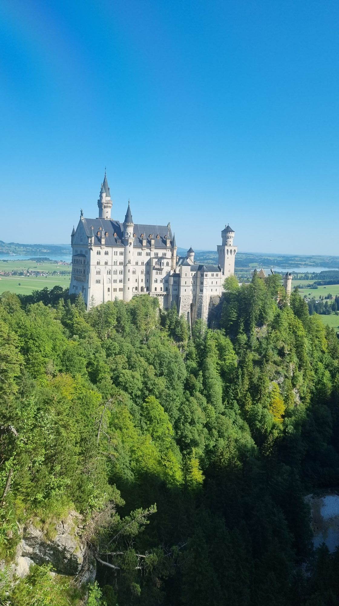
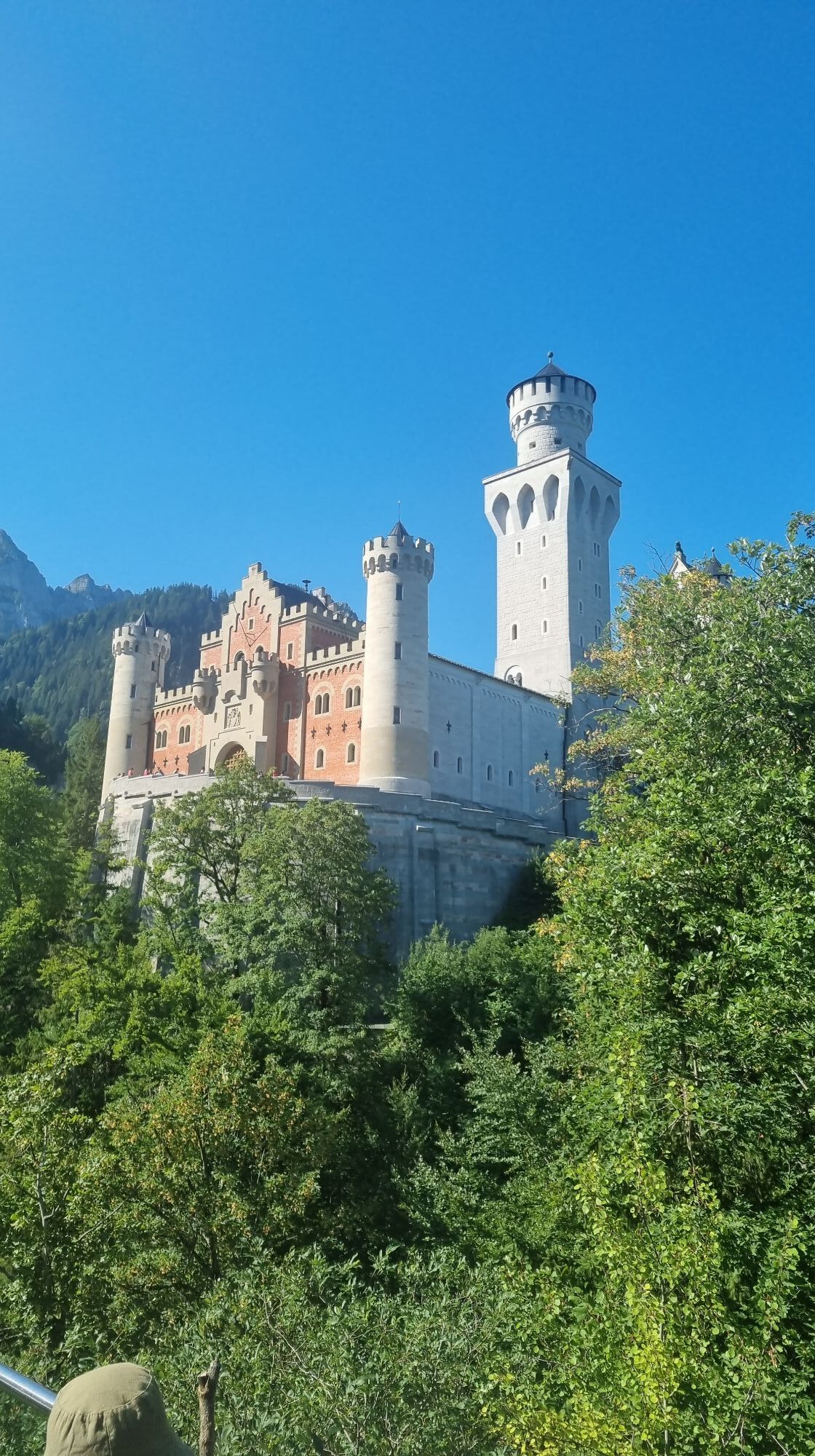
King's round on the Tegelberg


Fotos unserer User
 © Les aventures de GhislainErstellt am 31.12.2023
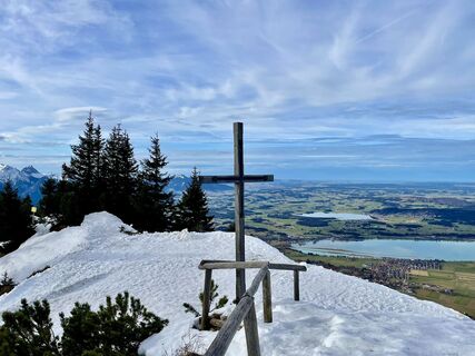 © Les aventures de GhislainErstellt am 31.12.2023
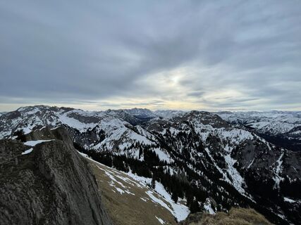 © Les aventures de GhislainErstellt am 31.12.2023
 © Les aventures de GhislainErstellt am 31.12.2023
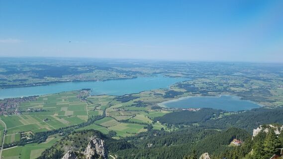
 © andi997Erstellt am 20.08.2023
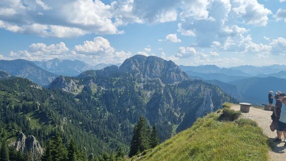 © andi997Erstellt am 20.08.2023
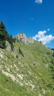 © andi997Erstellt am 20.08.2023
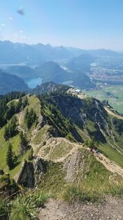 © andi997Erstellt am 20.08.2023
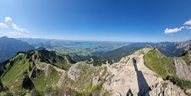 © andi997Erstellt am 20.08.2023
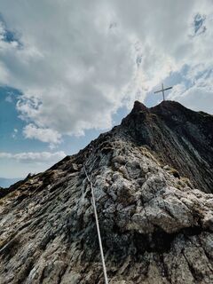
 © Caro FreyErstellt am 02.06.2023
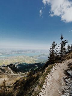 © Caro FreyErstellt am 02.06.2023
 © Topala IonErstellt am 27.04.2025
 © Topala IonErstellt am 27.04.2025
 © Topala IonErstellt am 27.04.2025
 © Topala IonErstellt am 27.04.2025
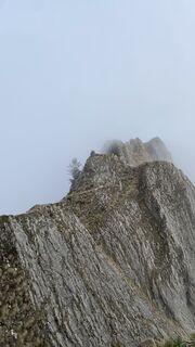 © Topala IonErstellt am 27.04.2025
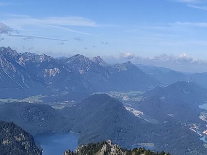
 © Anke Baron 1Erstellt am 09.08.2024
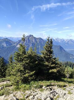 © Anke Baron 1Erstellt am 09.08.2024
 © Les aventures de GhislainErstellt am 31.12.2023
 © Les aventures de GhislainErstellt am 31.12.2023
 © Les aventures de GhislainErstellt am 31.12.2023
 © Les aventures de GhislainErstellt am 31.12.2023
 © Les aventures de GhislainErstellt am 31.12.2023
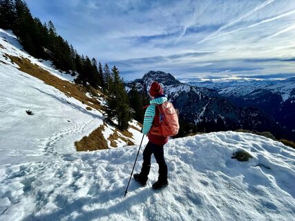 © Les aventures de GhislainErstellt am 31.12.2023
 © Les aventures de GhislainErstellt am 31.12.2023
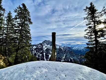 © Les aventures de GhislainErstellt am 31.12.2023
 © Les aventures de GhislainErstellt am 31.12.2023
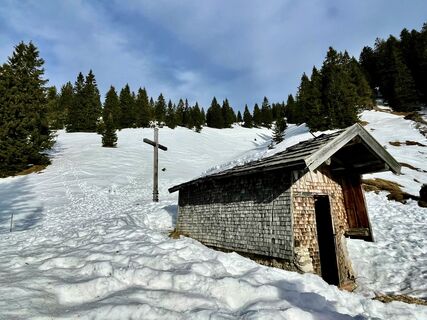 © Les aventures de GhislainErstellt am 31.12.2023
 © Les aventures de GhislainErstellt am 31.12.2023
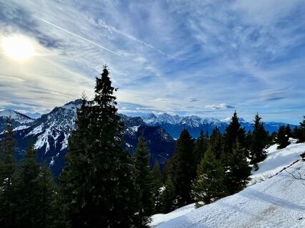 © Les aventures de GhislainErstellt am 31.12.2023
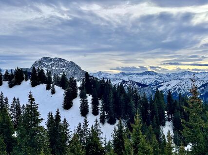 © Les aventures de GhislainErstellt am 31.12.2023
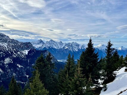 © Les aventures de GhislainErstellt am 31.12.2023
 © Les aventures de GhislainErstellt am 31.12.2023
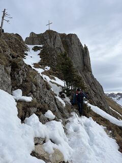 © Les aventures de GhislainErstellt am 31.12.2023
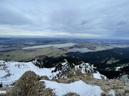 © Les aventures de GhislainErstellt am 31.12.2023
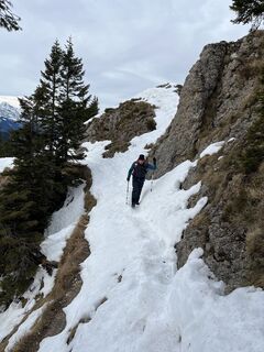 © Les aventures de GhislainErstellt am 31.12.2023
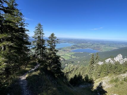 © Daniel SchulzeErstellt am 28.09.2023
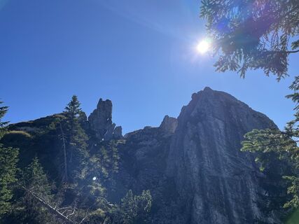 © Daniel SchulzeErstellt am 28.09.2023
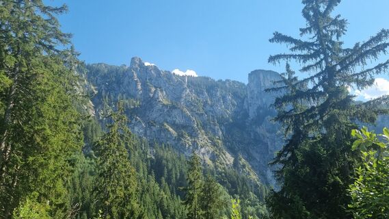 © andi997Erstellt am 20.08.2023
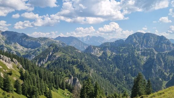 © andi997Erstellt am 20.08.2023
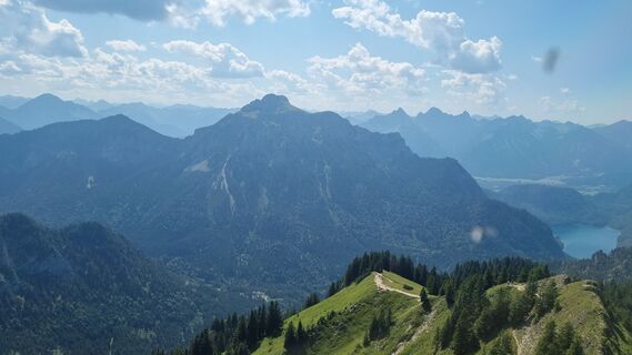 © andi997Erstellt am 20.08.2023
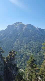 © andi997Erstellt am 20.08.2023
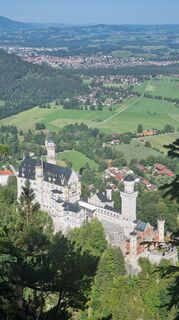 © andi997Erstellt am 20.08.2023
 © andi997Erstellt am 20.08.2023
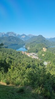 © andi997Erstellt am 20.08.2023
 © andi997Erstellt am 20.08.2023
 © Caro FreyErstellt am 02.06.2023
 © Marian RollErstellt am 10.05.2023

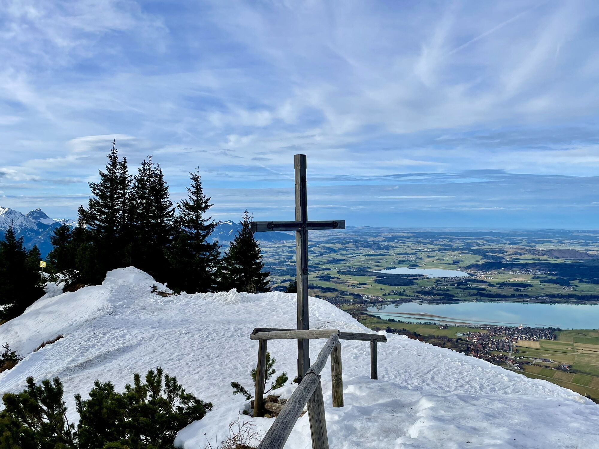
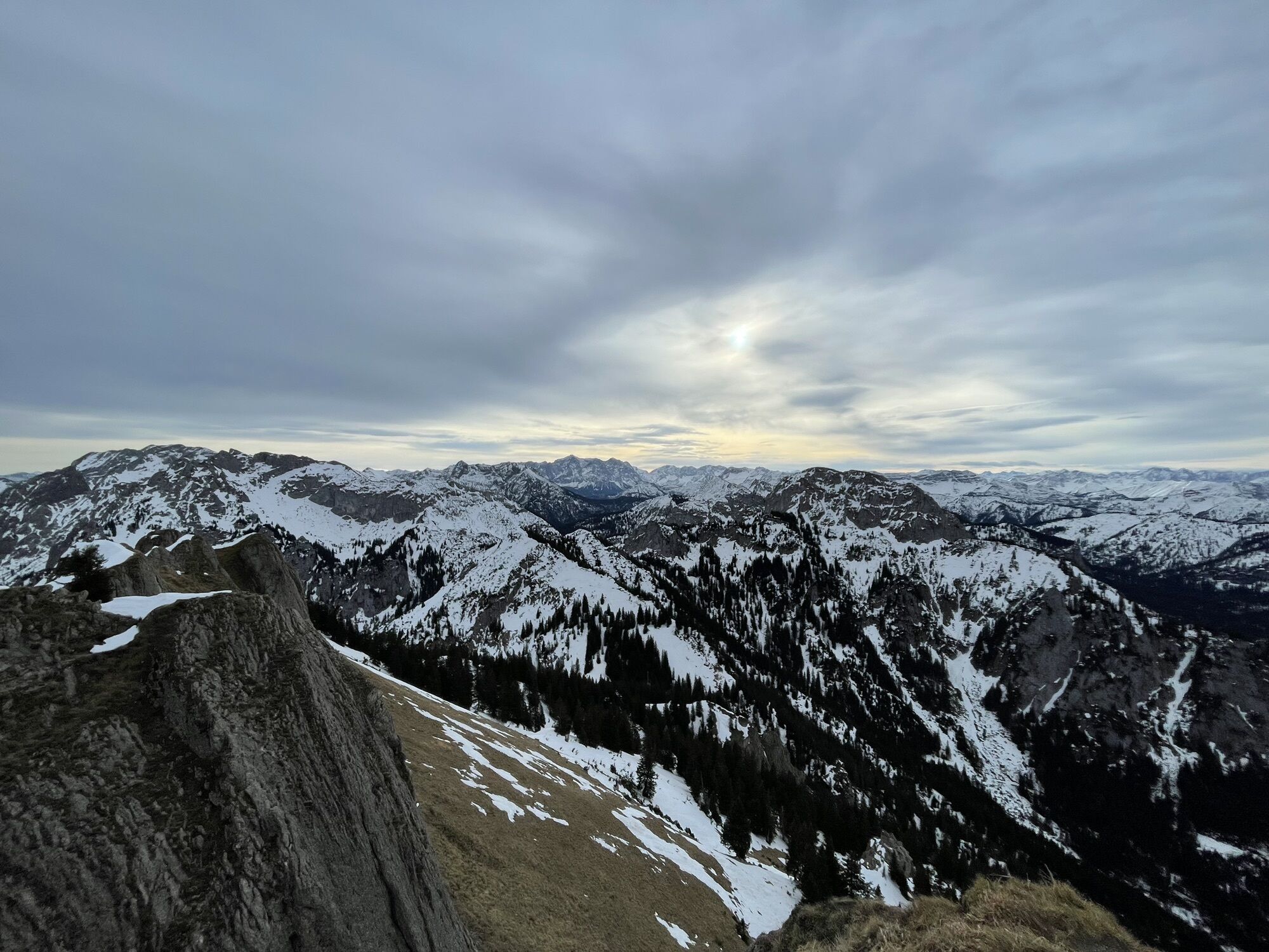
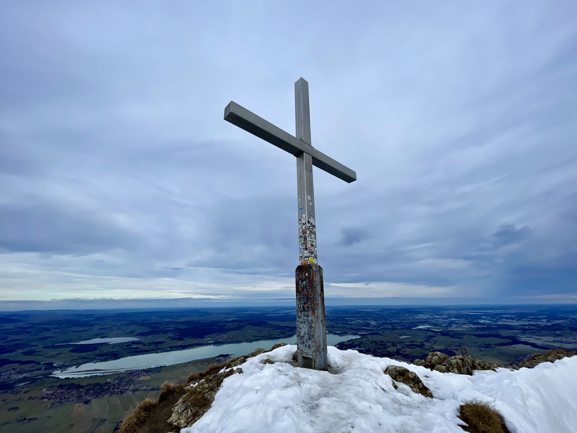

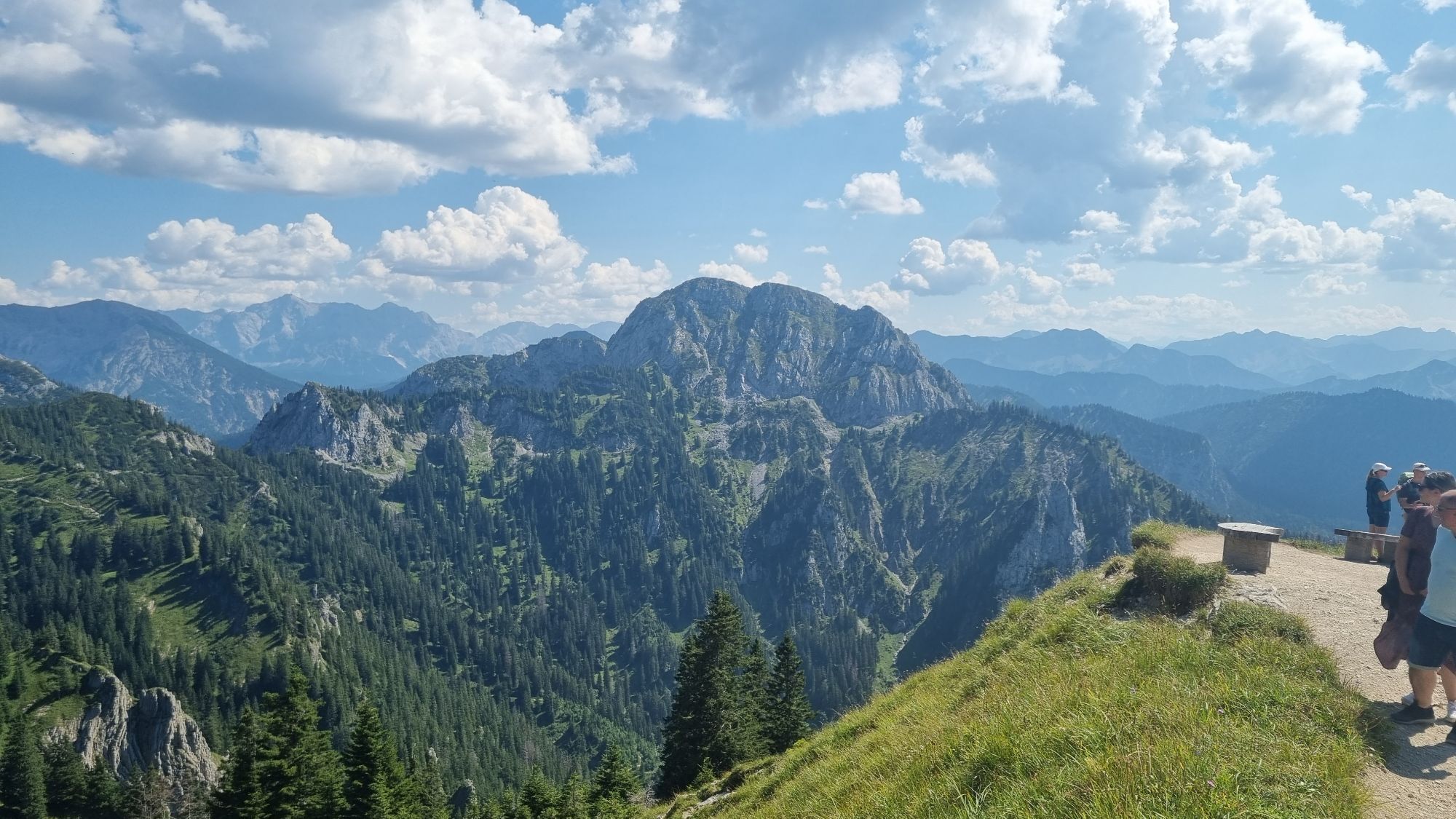
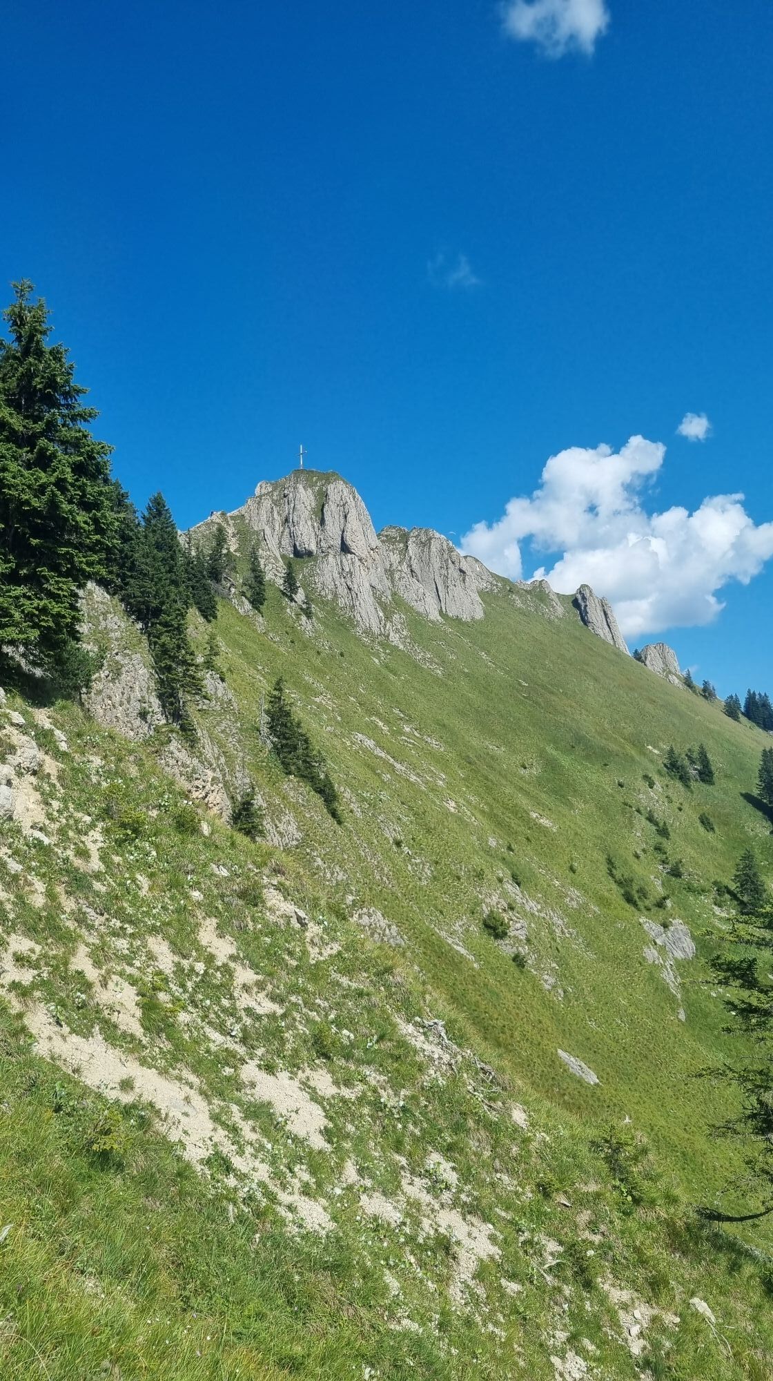

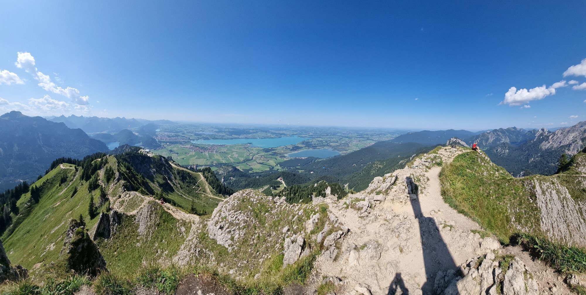

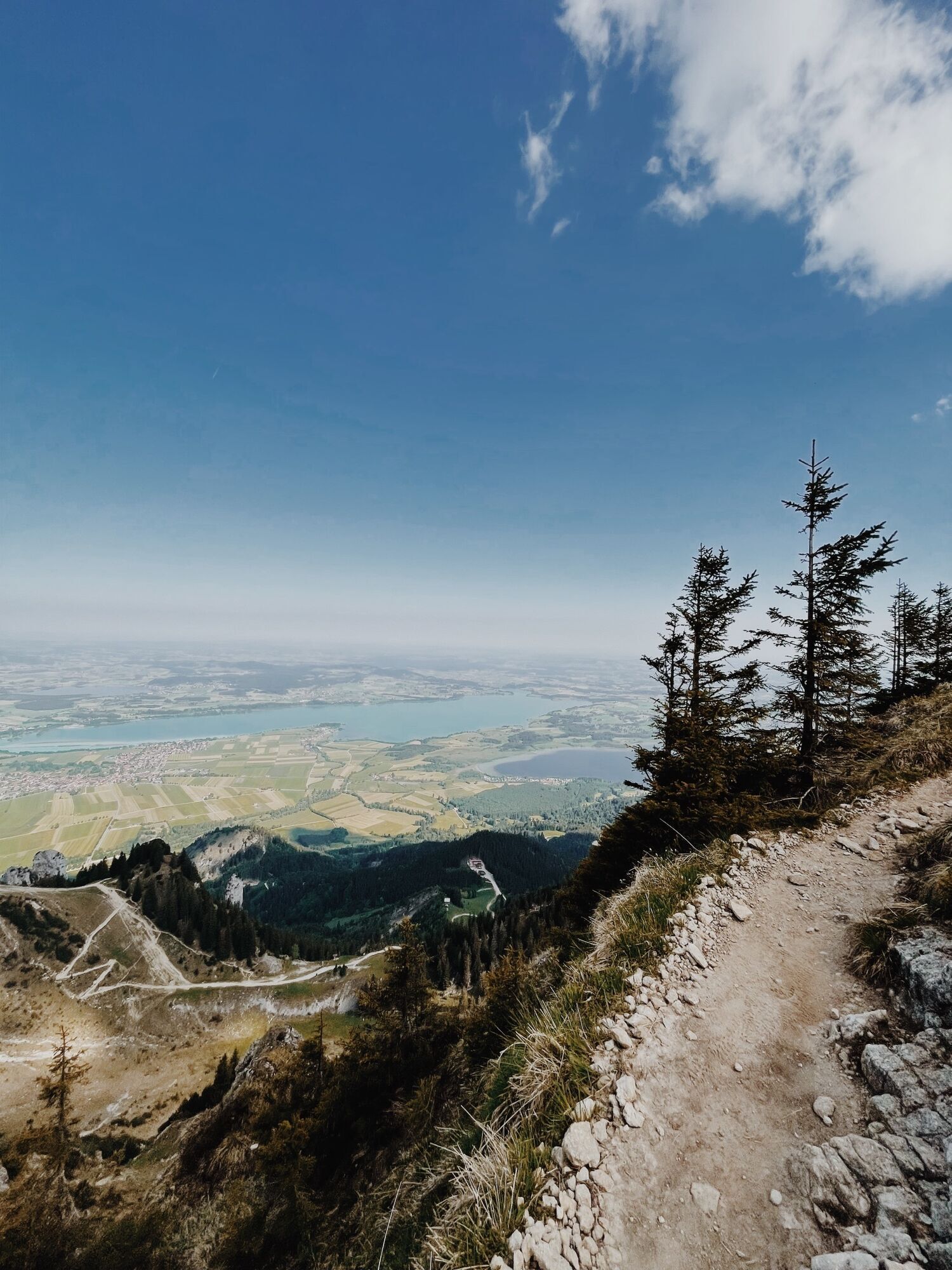


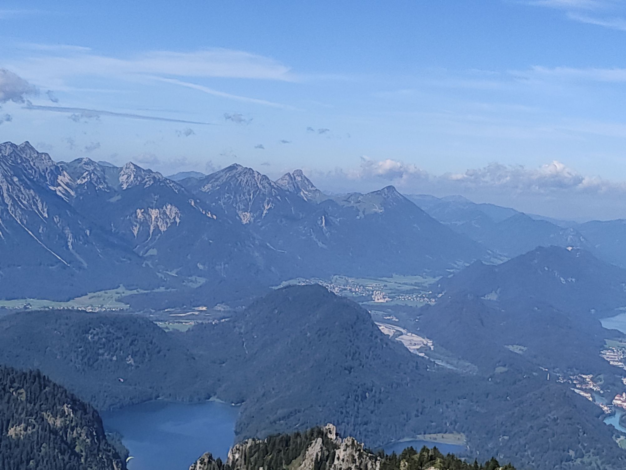

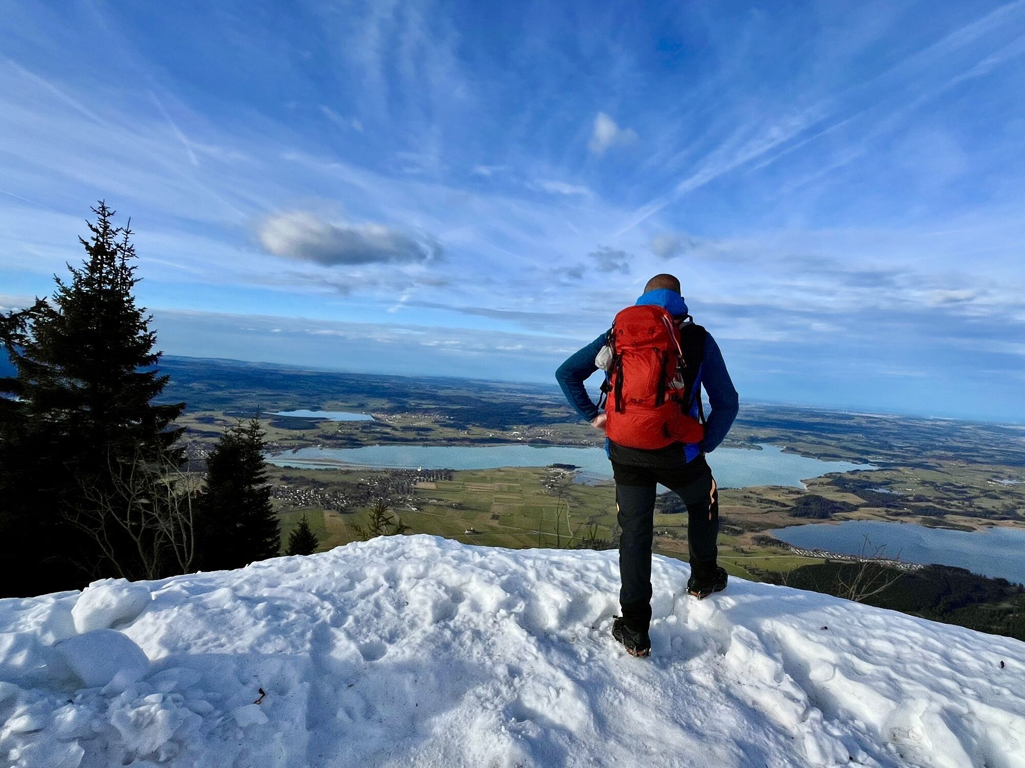

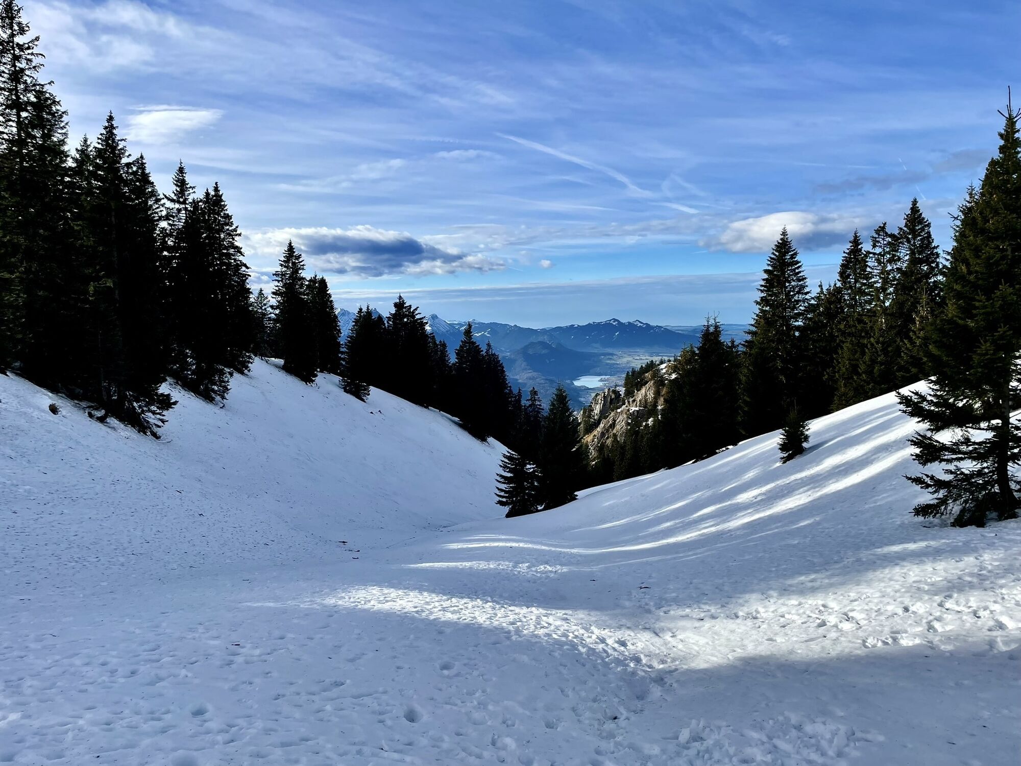
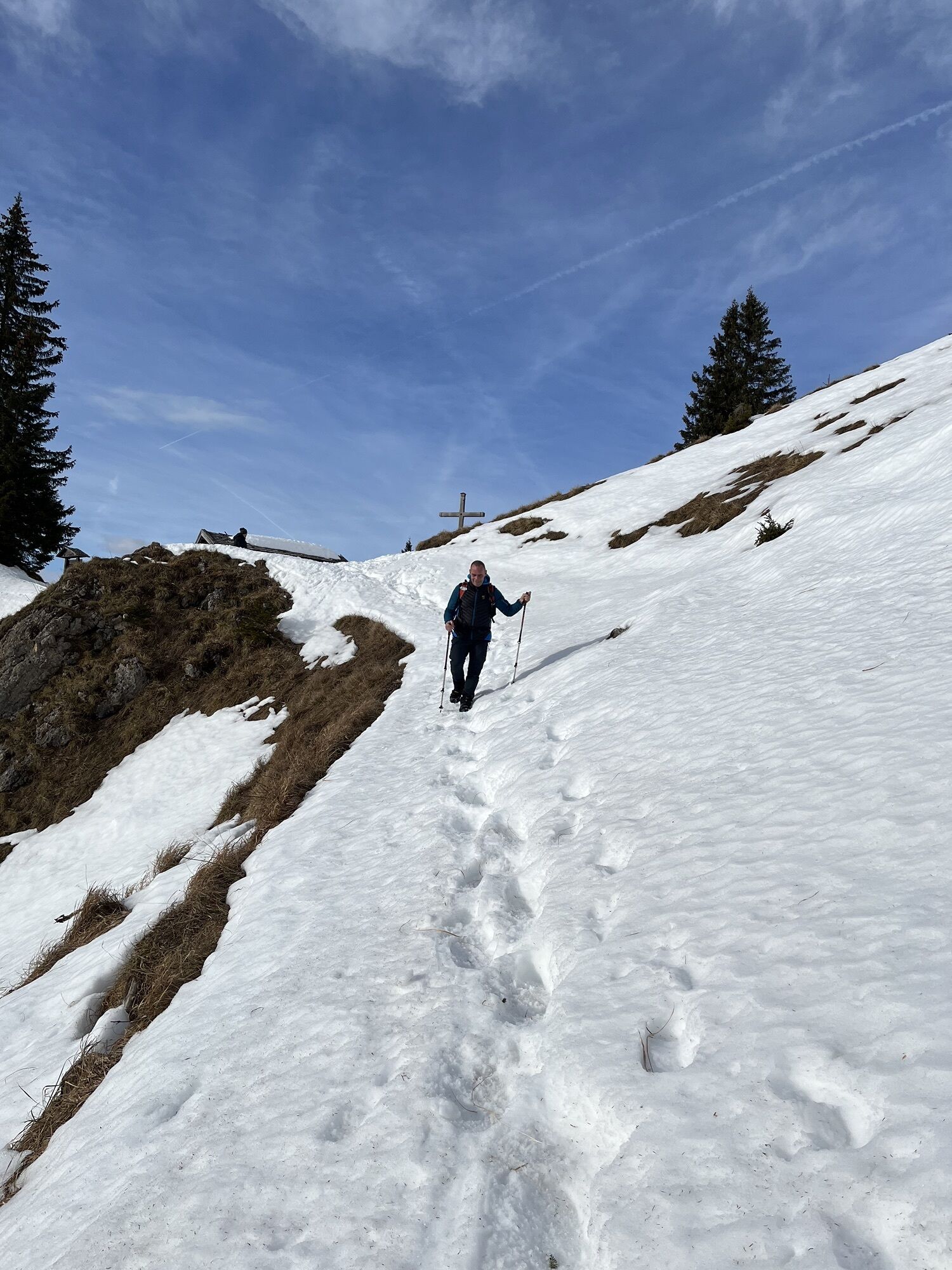
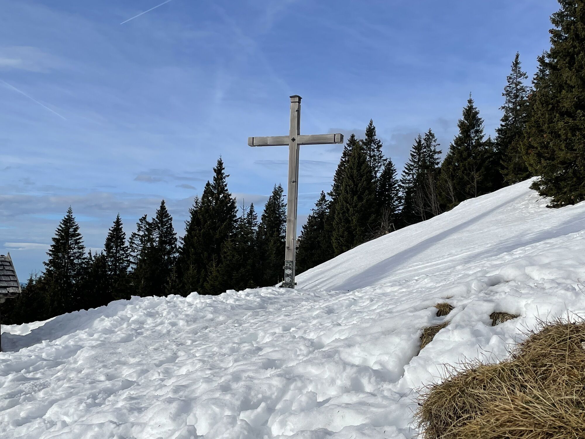
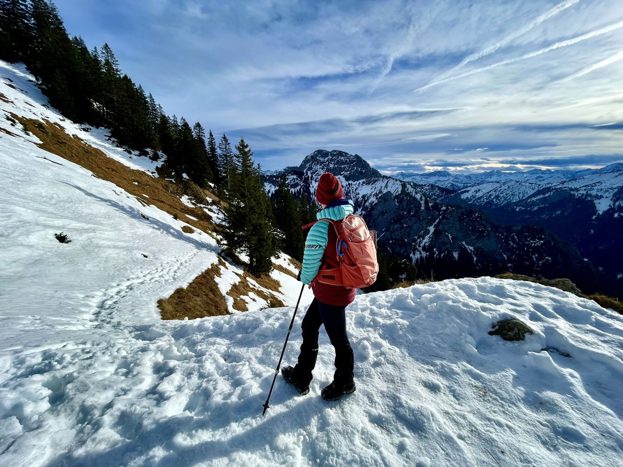
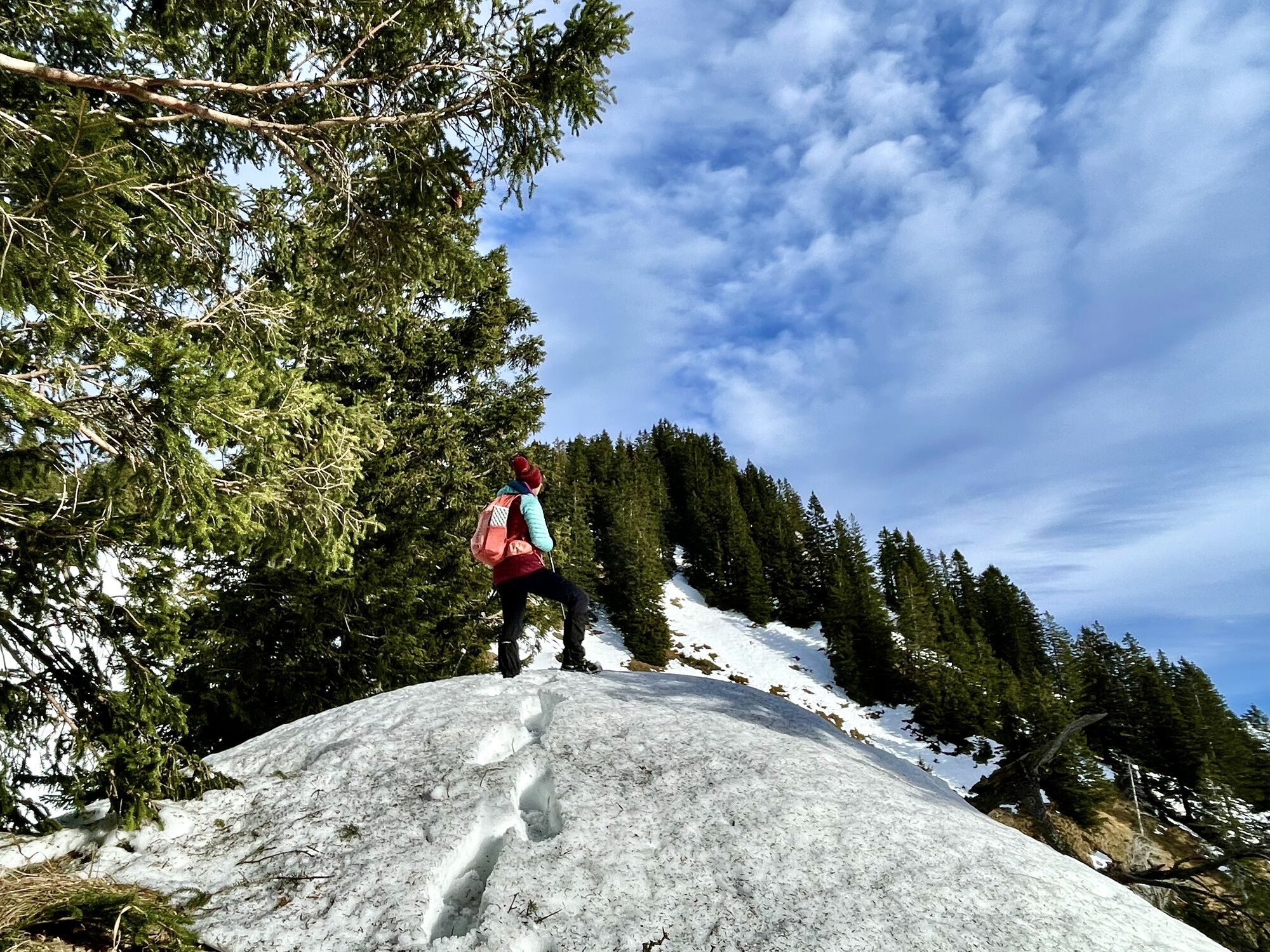

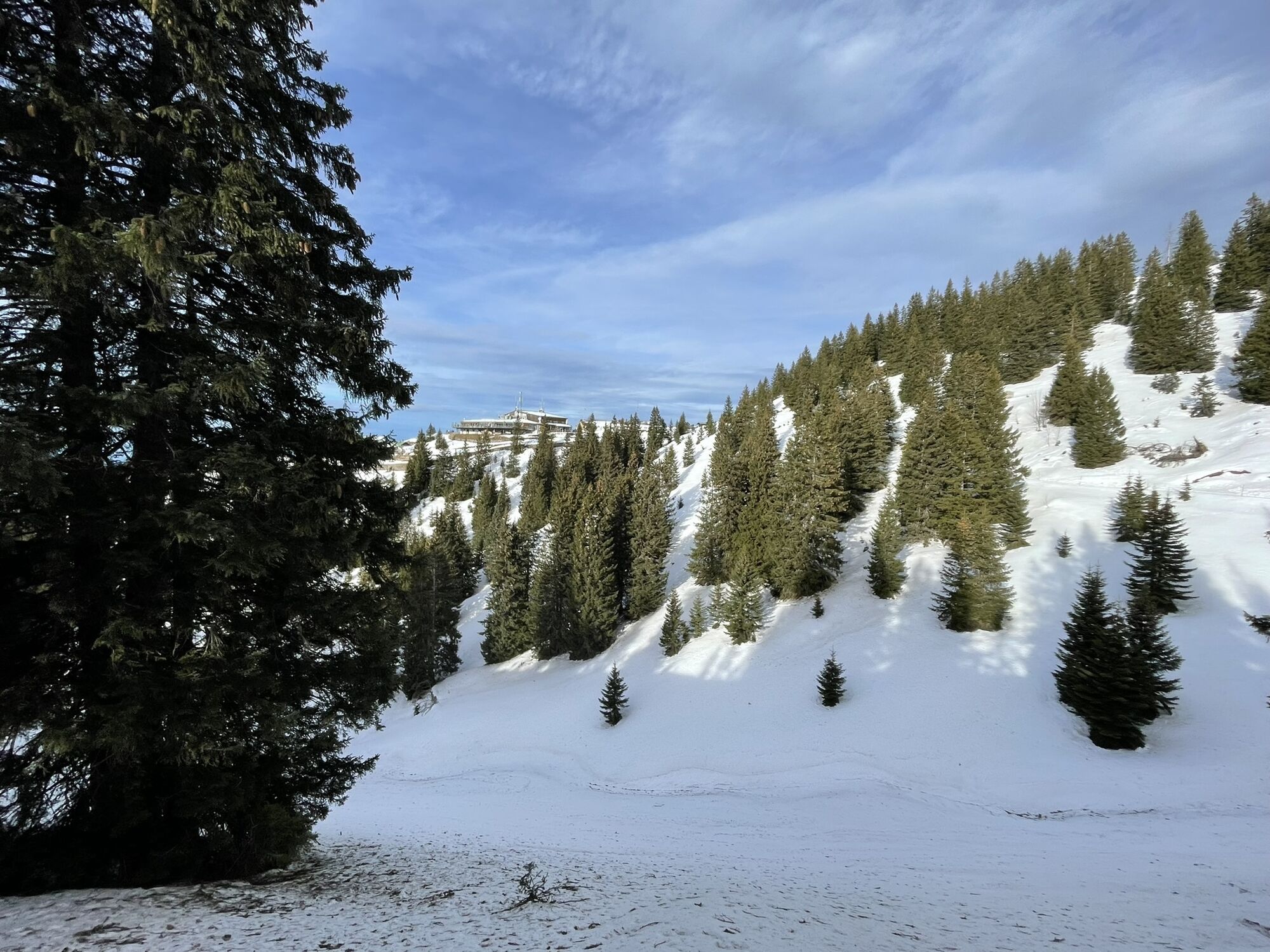


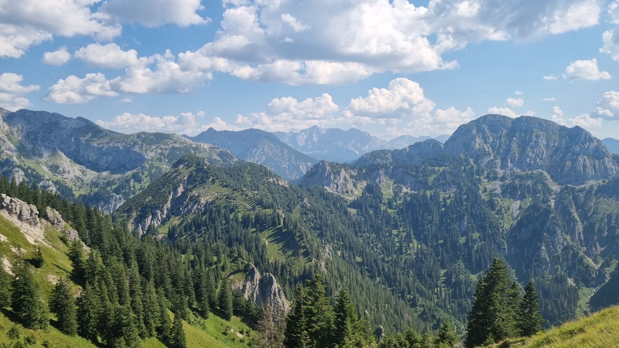
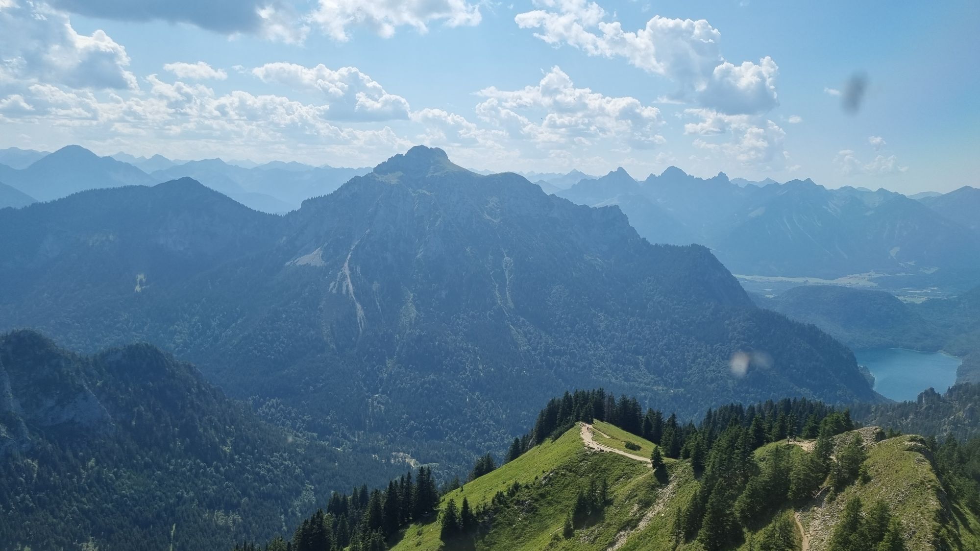
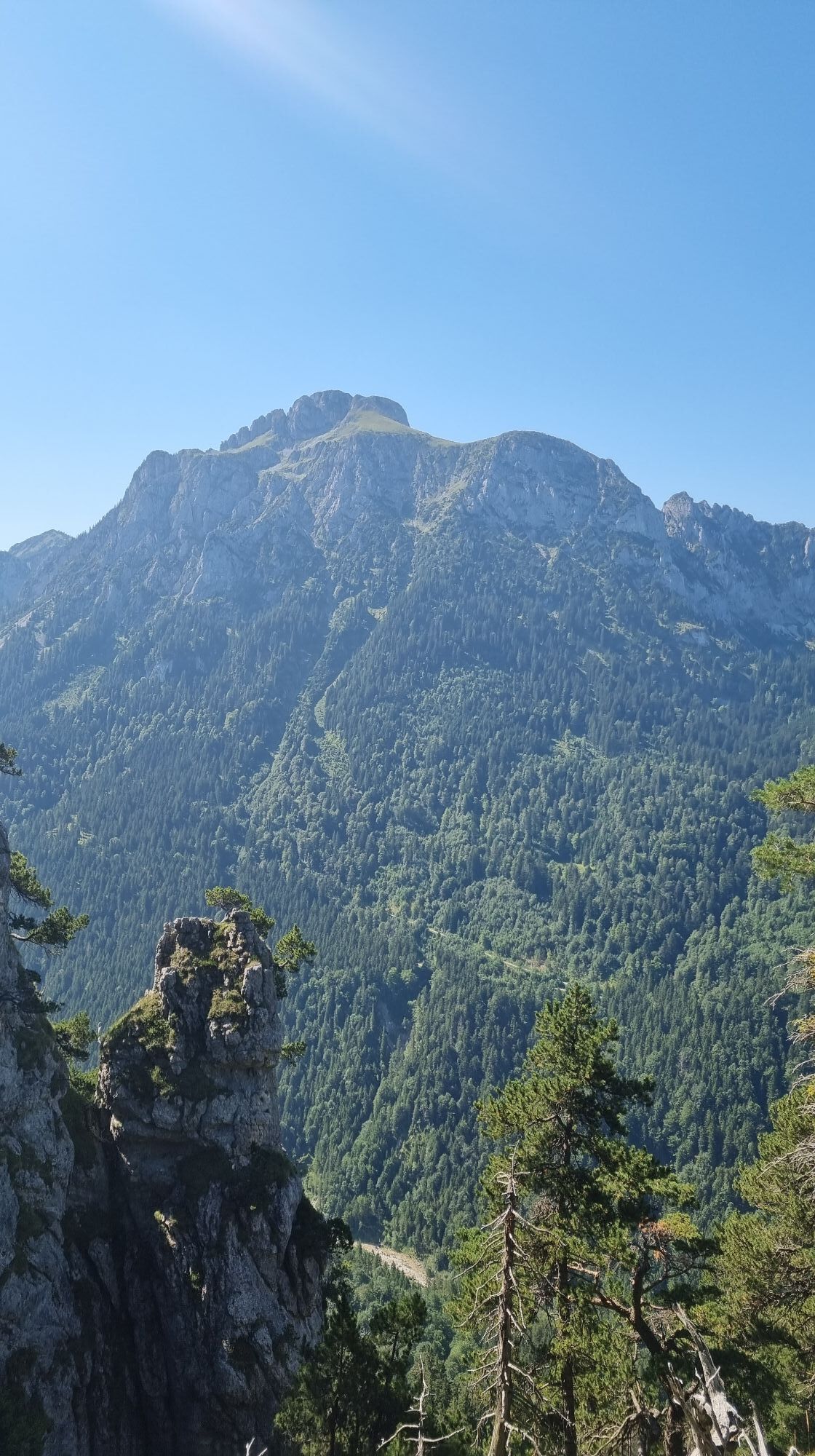
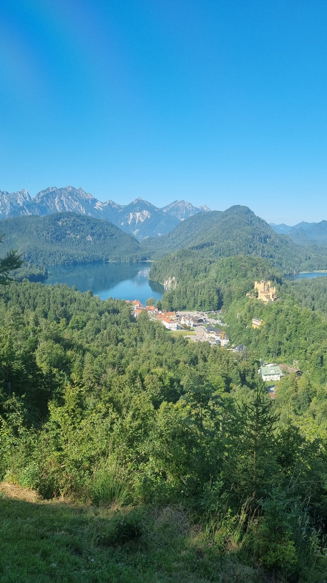
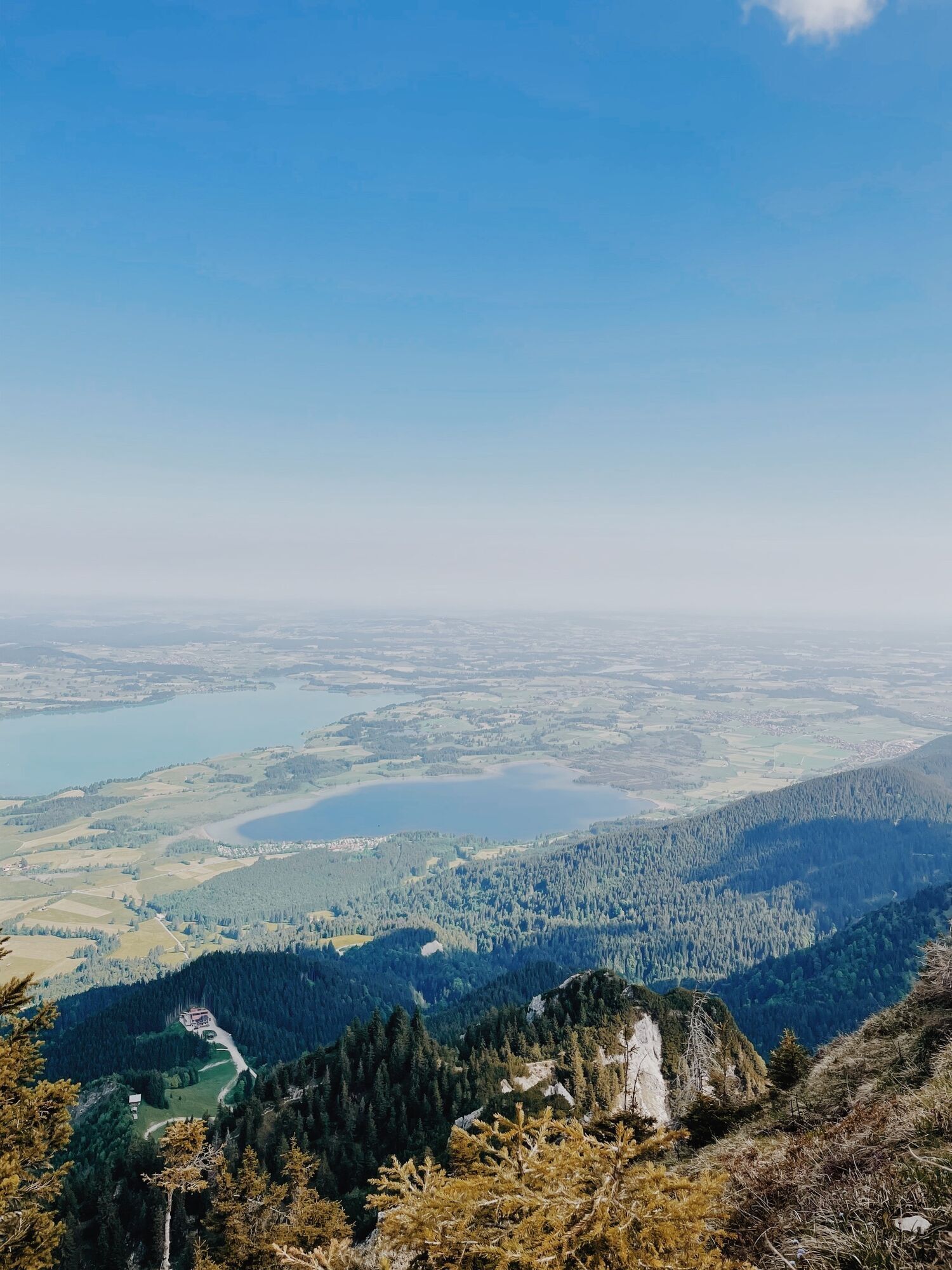
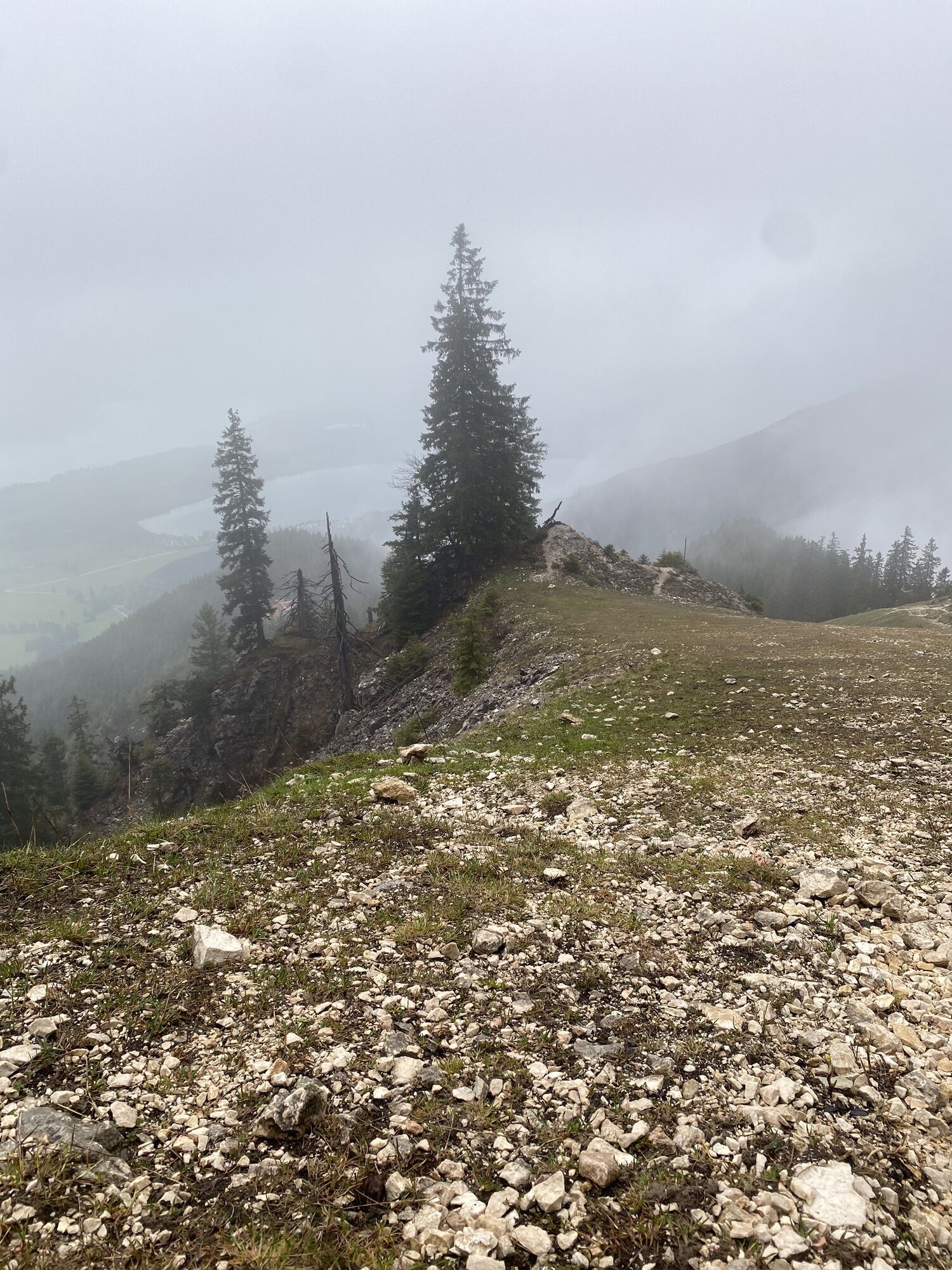

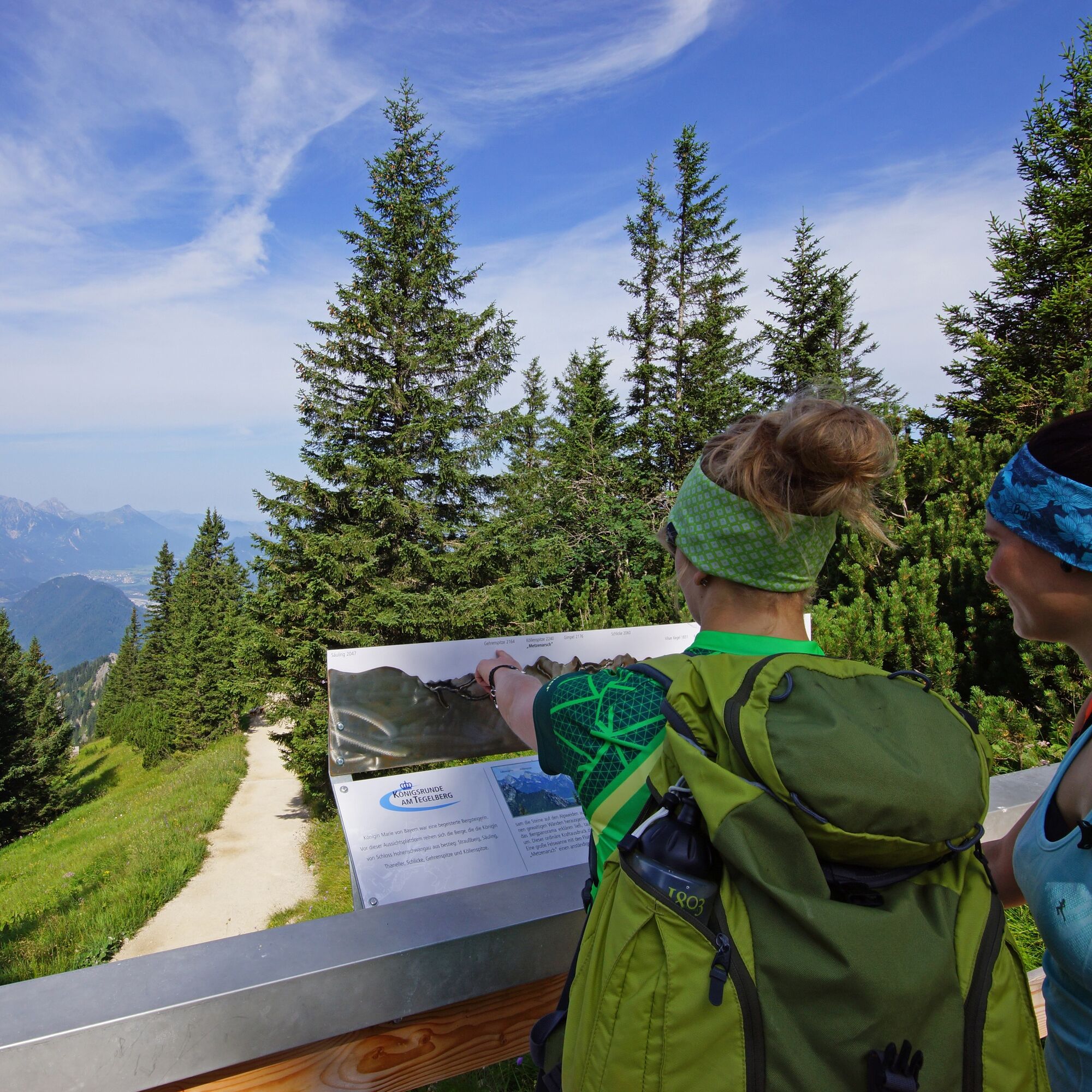
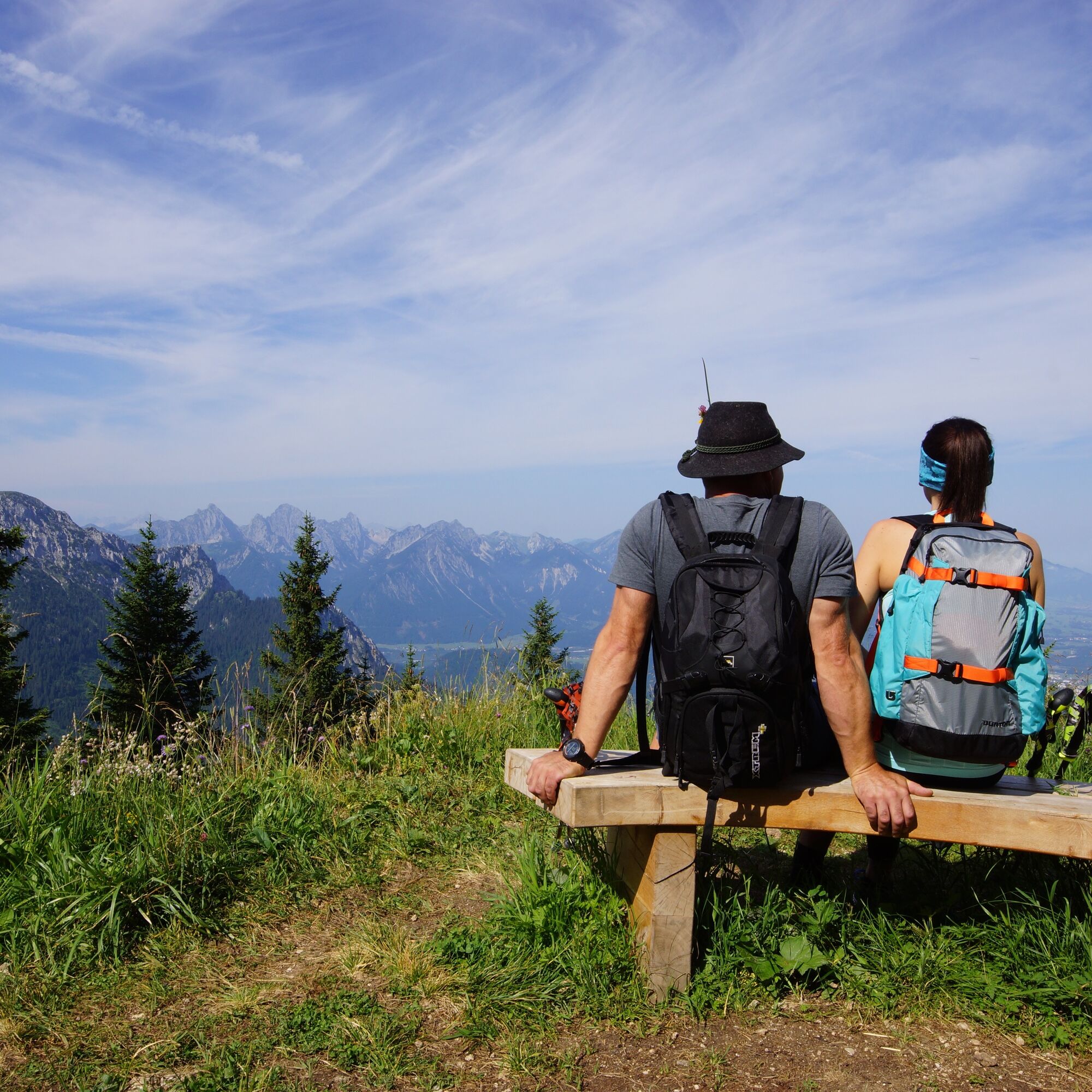
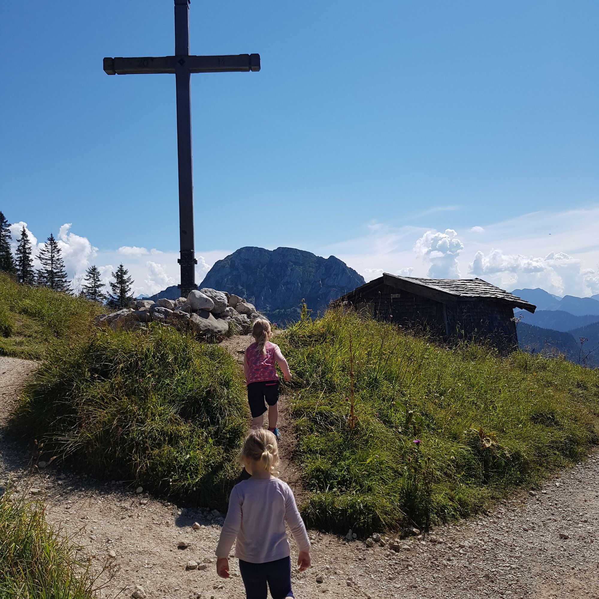
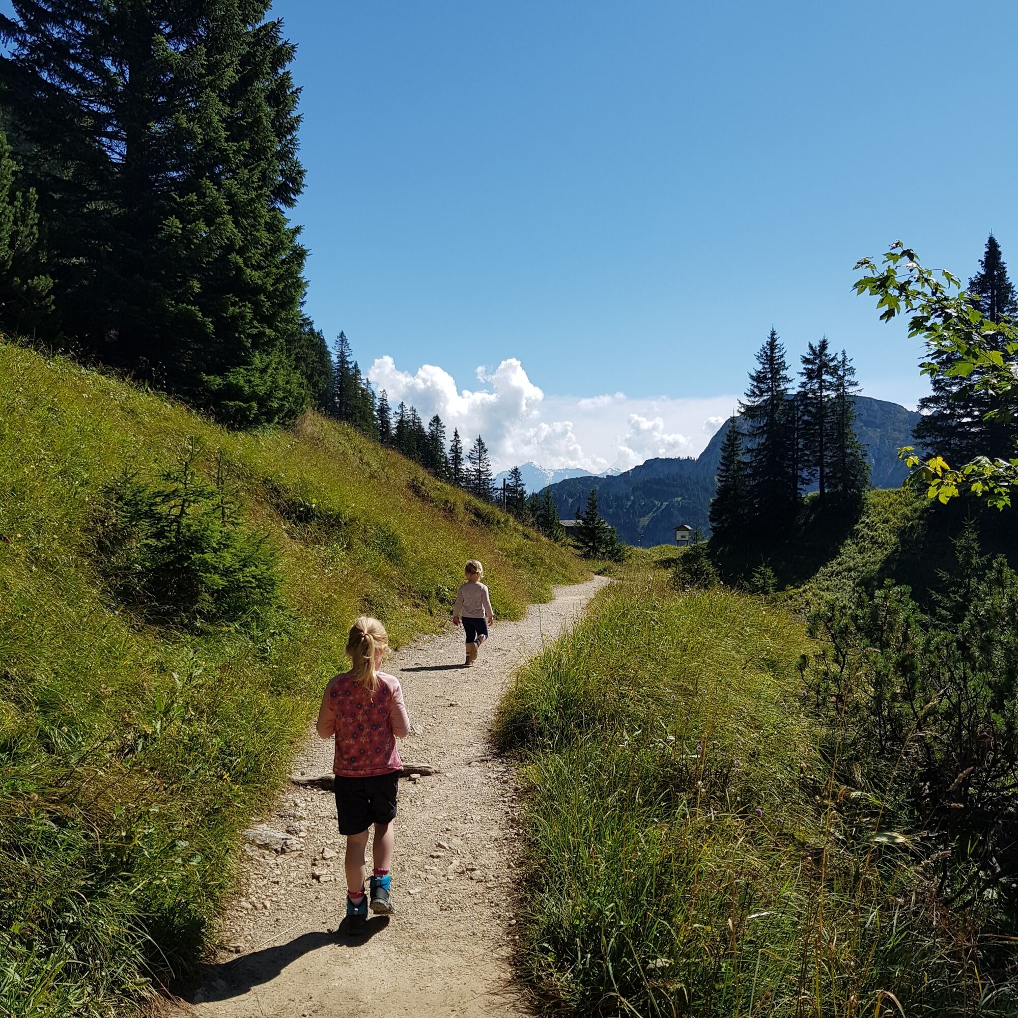
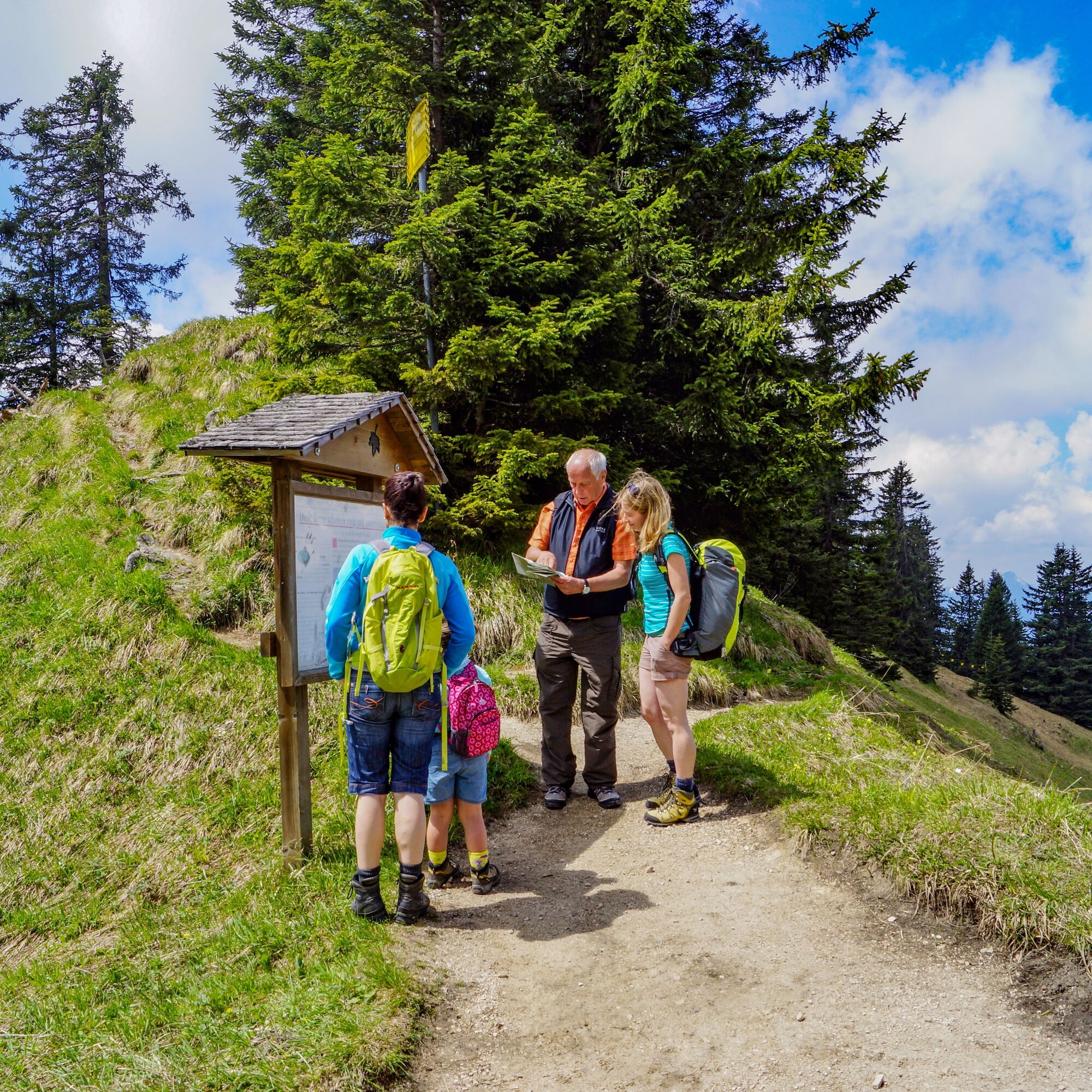
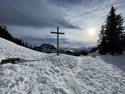
If you don't have too much time or only want to hike a short distance from the Tegelbergbahn mountain station, this is the right place for you. After you have taken to the Tegelberg with the cable car, the path leads eastwards up towards Branderschrofen, the actual summit of the Tegelberg. After about 5 minutes you reach the first vantage point, in the north you can see the Auerberg near Stötten on the horizon. Continue on to the lookout pulpit, which faces west and presents you with some summit names of the Tannheimer and Allgäuer mountains. From here it's a few minutes to the Branderschrofenschulter, from which the 360-degree view will give you a lasting experience. With two Viscope telescopes, you can take a closer look at the surrounding mountains. Afterwards, hike back to the mountain station via the path, which branches off to the left just above the Branderschrofenschulter. Or you can set off on foot in the direction of the valley.
RVA-Bus Nr. 78 Busstop Tegelberg
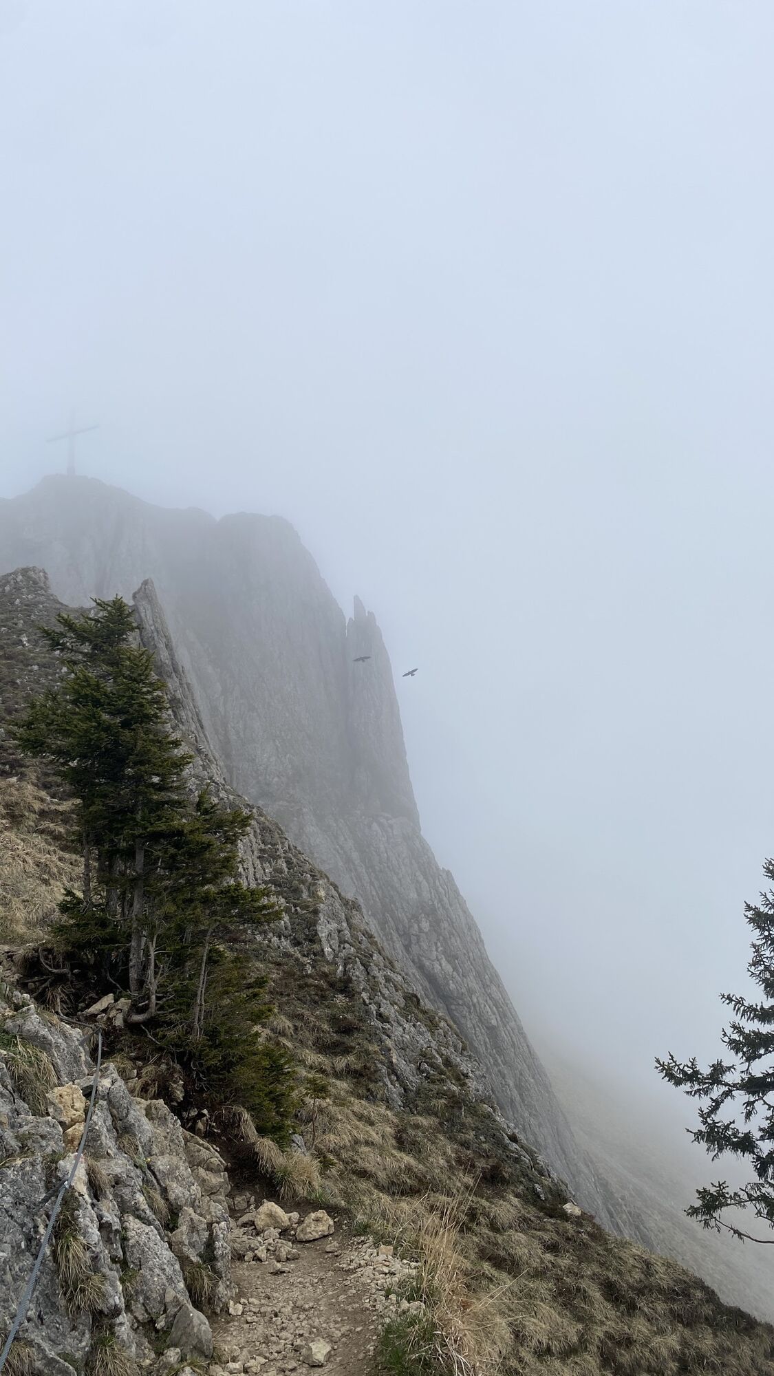
If you are sure-footed and not afraid of heights, you can make a detour to the Branderschrofen. At www.schwangau.de/tisch you will find numerous places to stop for refreshments as well as the possibility to make table reservations.
Beliebte Touren in der Nähe
- 4,2
Kulturpfad Schutzengelweg
mittelWanderung5,13 km - 4,5
Rundwanderung Dreh- und Rohrkopfhütte
leichtWanderung8,76 km - 4,1
Drehhütte
leichtWanderung3,34 km - 3,5
Rundwanderung Plansee
mittelWanderung9,80 km - 4,8
Rund um den Weißensee
leichtWanderung6,12 km - 4,7
Klettersteig "Gelbe Wand"
mittelKlettersteig3,65 km - 4,5
Traumhafte Panorama Plansee-Umrundung
leichtWanderung13,8 km - 4,6
Klettersteig "Tegelbergsteig"
schwerKlettersteig3,54 km - 4,2
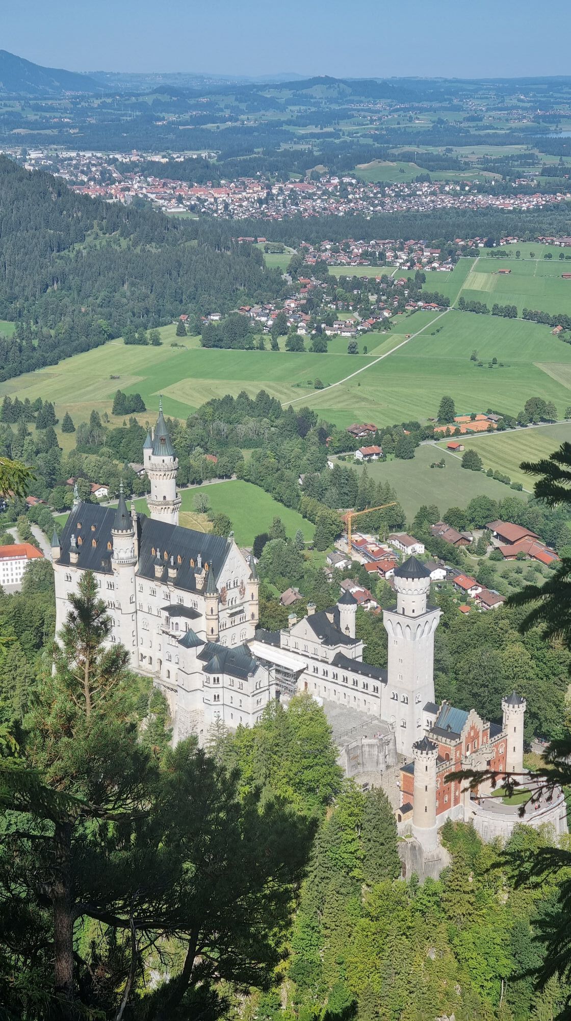
Schloß Neuschwanstein und Schwanensee Schwangau, Bayern
mittelWanderung9 km - 4,8
Schönleitenschrofen
schwerWanderung15,5 km
Wandern & Tracking


Verpasse keine Angebote und Inspirationen für deinen nächsten Urlaub
Deine E-Mail-Adresse wurde in den Verteiler eingetragen.