


Circuit VTT M2 de St Bonnet à St Christophe


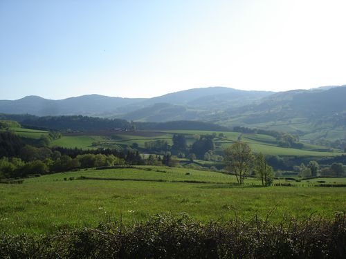
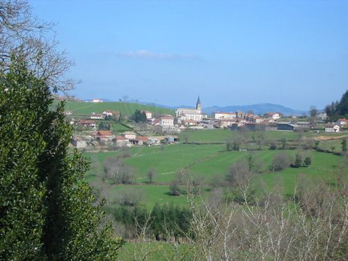
This great route will delight even the most athletic. A few fairly steep climbs will put your legs to the test but you will be rewarded with a wide rolling track in the forest. A route with varying landscapes...
This great route will delight even the most athletic. A few fairly steep climbs will put your legs to the test but you will be rewarded with a wide rolling track in the forest. A route with varying landscapes through three valleys, which will make you appreciate the difference in altitude of the mountains of the Haut Beaujolais.

APIDAE Tourismusdaten aktualisiert am 03/02/2021 von "Destination Beaujolais".
Haben Sie einen Fehler entdeckt? Schreiben Sie an den Besitzer mit folgenden Hinweisen:
Dateiname: Circuit VTT M2 de St Bonnet à St Christophe | Identifikationsnummer dieser Seite: 162027 | URL (Link) für diese Outdooractive-Seite.
Beliebte Touren in der Nähe
CycloRoute71 - Etape 11 de La Clayette à Cluny
mittelRadfahren56,8 kmLes Chemins de Saint-Jacques de Compostelle de Cluny au Puy-en-Velay
leichtWanderung23,5 kmLa balade des rhododendrons
leichtReiten7,18 kmCircuit des croix
mittelReiten15,8 kmCircuit des digitales
mittelWanderung13,9 kmPar monts et par vignes
mittelWanderung17,6 kmSentier botanique
leichtReiten5,12 kmCircuit VTT M5 de Trades à St Christophe
leichtMountainbike16,5 kmLe tour de la montagne de Crochet et du mont Tourvéon
leichtWanderung13,1 kmCircuit VTT B7 de Régnié-Durette à Lantignié
leichtMountainbike19,1 km

Wandern & Tracking


Verpasse keine Angebote und Inspirationen für deinen nächsten Urlaub
Deine E-Mail-Adresse wurde in den Verteiler eingetragen.