© La via delle PREALPI - Francesco GALIFI

© La via delle PREALPI - Francesco GALIFI


- Kurzbeschreibung
-
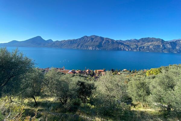
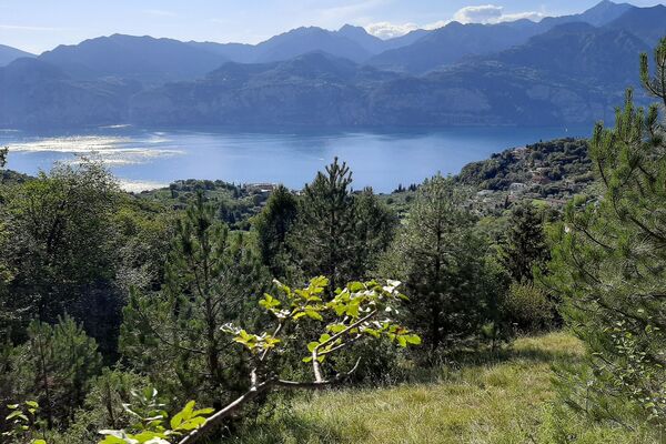
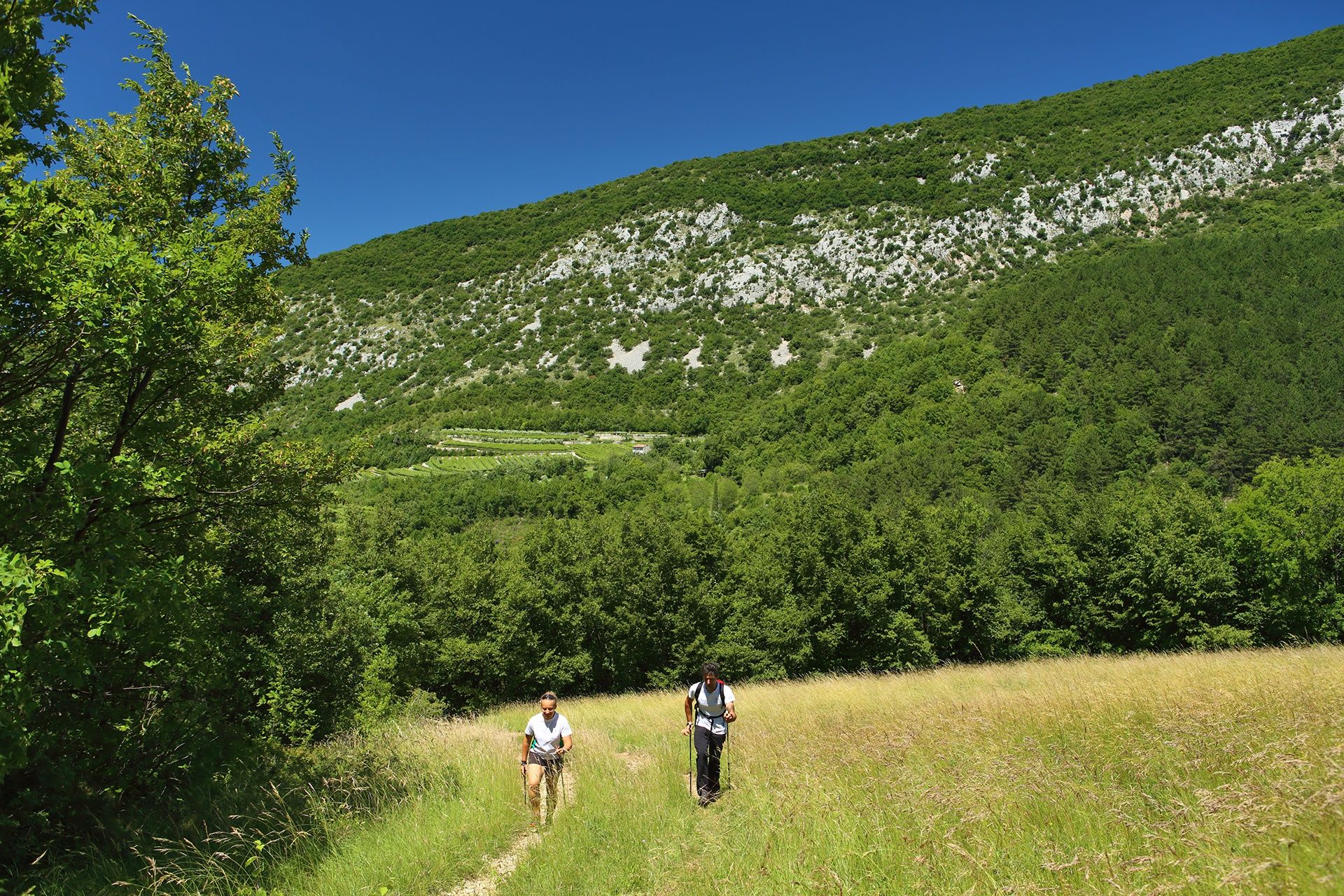
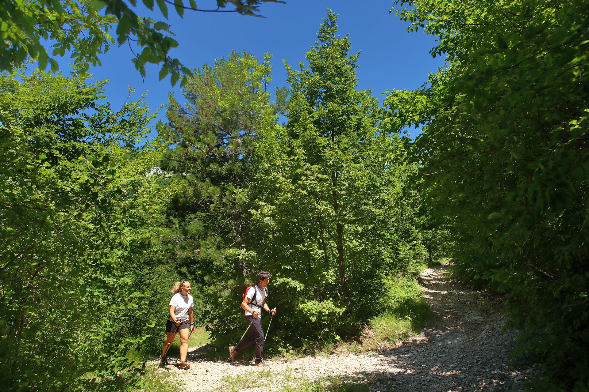
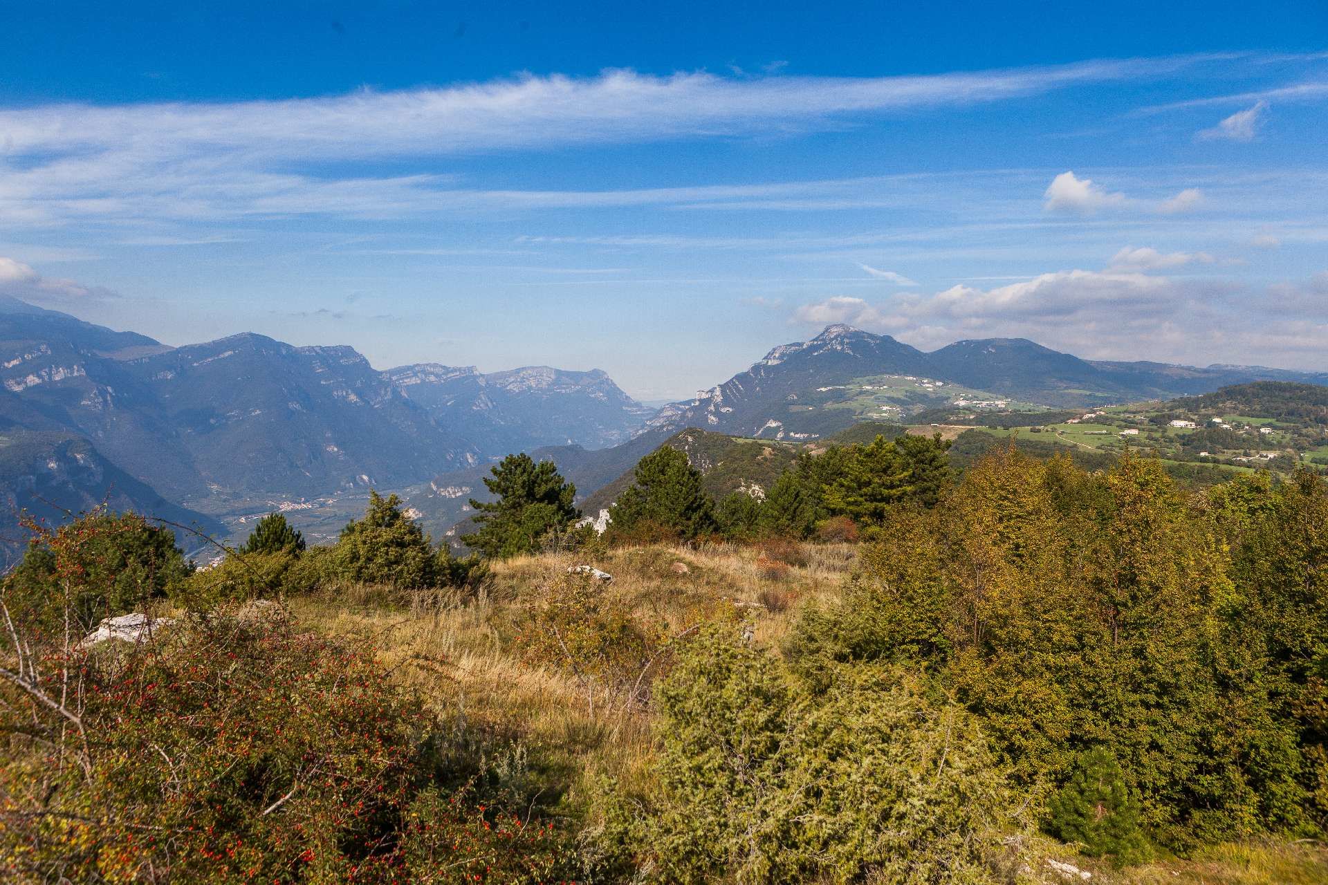
A walking trail that takes place mainly on dirt roads involving some of the characteristic elements of Valpolicella. You will discover the various identities of this land, dedicating yourself to outdoor and food and wine activities.
- Schwierigkeit
-
mittel
- Bewertung
-
- Wegverlauf
-
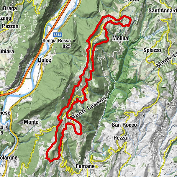
Mazzurega (460 m)Chiesa Vecchia di Cavalo3,3 kmMolane (903 m)7,8 kmMonte Pastelletto (1.031 m)11,1 kmMonte Crocetta12,3 kmBreonio12,8 kmGorgusello di Sopra15,0 kmGorgusello di Sotto15,2 kmLe Rive18,2 kmNavesa20,9 kmVerago22,6 kmOsteria Cavalo in Valpolicella25,3 kmCavalo (600 m)25,4 kmLa Cà29,2 kmMazzurega (460 m)30,4 kmLa Cà31,6 km
- Beste Jahreszeit
-
JanFebMärAprMaiJunJulAugSepOktNovDez
- Höchster Punkt
- 998 m
- Zielpunkt
-
Località Mazzurega, Fumane (VR)
- Höhenprofil
-
 © outdooractive.com
- Autor
-
Die Tour Hiking on the hills of Fumane wird von outdooractive.com bereitgestellt.
GPS Downloads


Allgemeine Infos
Einkehrmöglichkeit
Kulturell/Historisch
Geheimtipp
Aussichtsreich
Weitere Touren in den Regionen
-
Verona
278
-
Gardasee / Venetien
308
-
Costermano
79