© La via delle PREALPI - Editor - la Via delle PREALPI

© La via delle PREALPI - Editor - la Via delle PREALPI

- Kurzbeschreibung
-
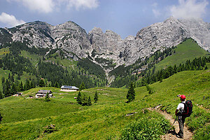
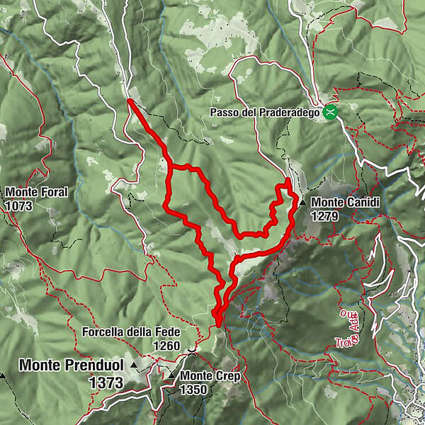
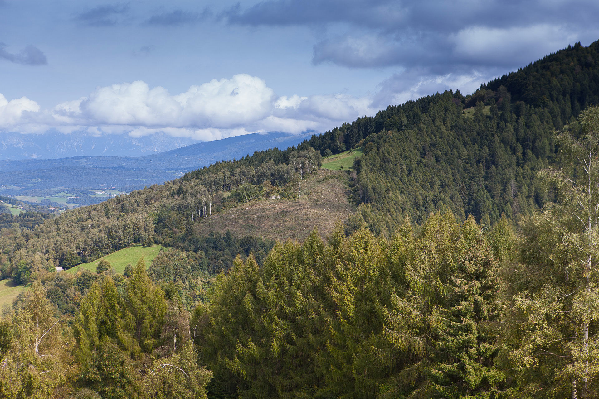
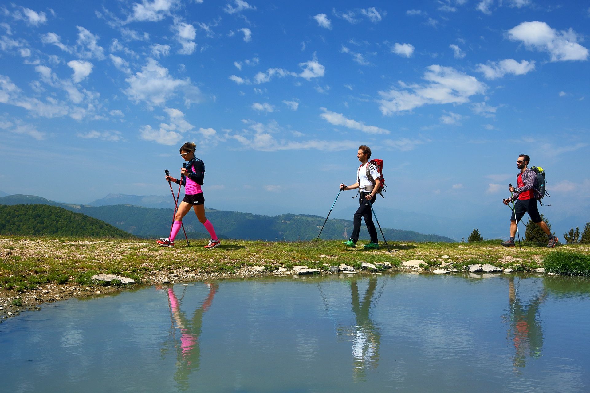
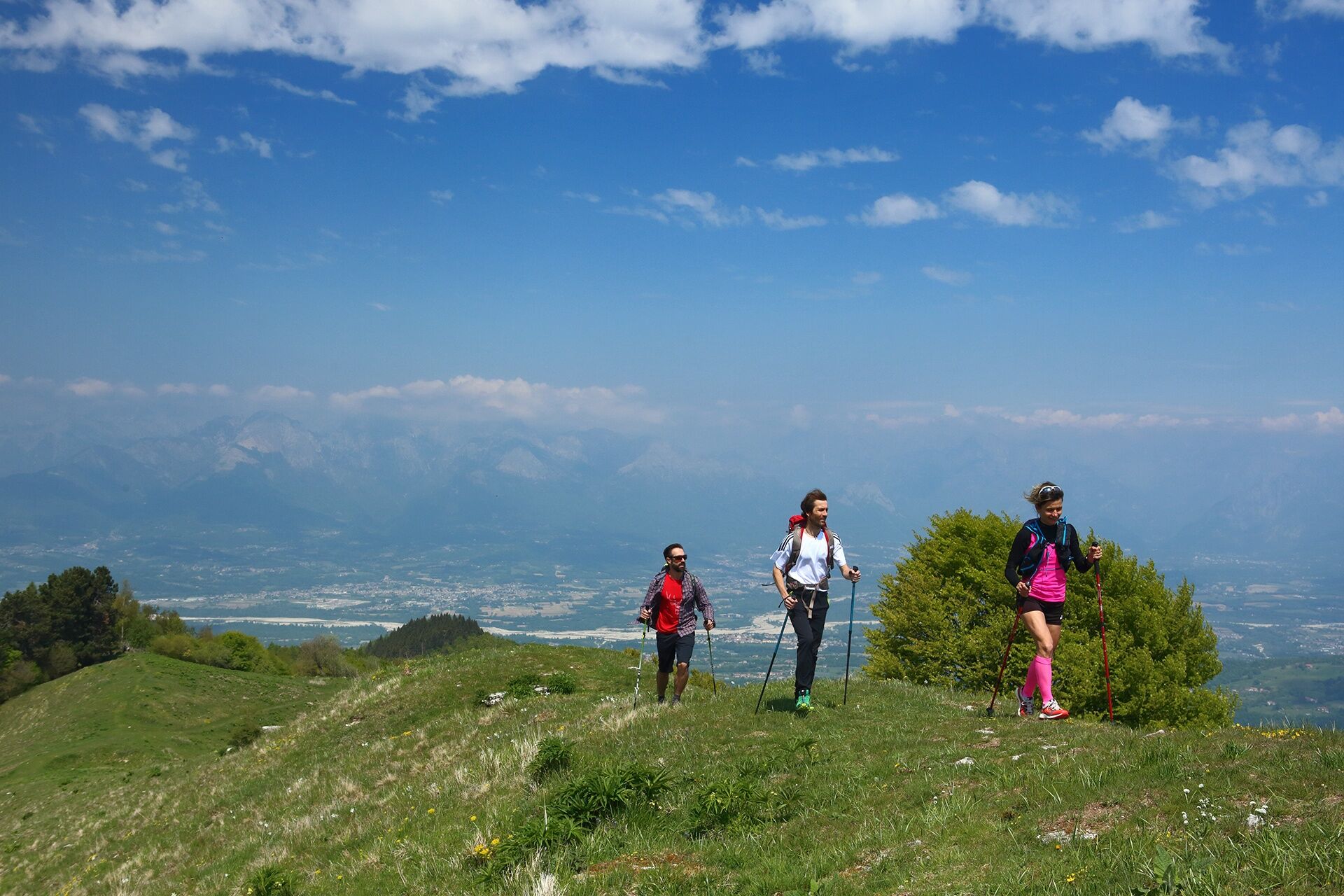
This itinerary starting from Rifugio Boz can be tackled clockwise or anticlockwise and mainly involves dirt roads and woodland paths. It offers contemplative silences in the Prealpine Ridge and breathtaking views over the peaks of Feltre.
- Schwierigkeit
-
mittel
- Bewertung
-
- Wegverlauf
-
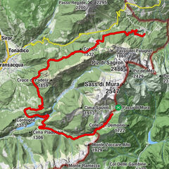
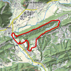
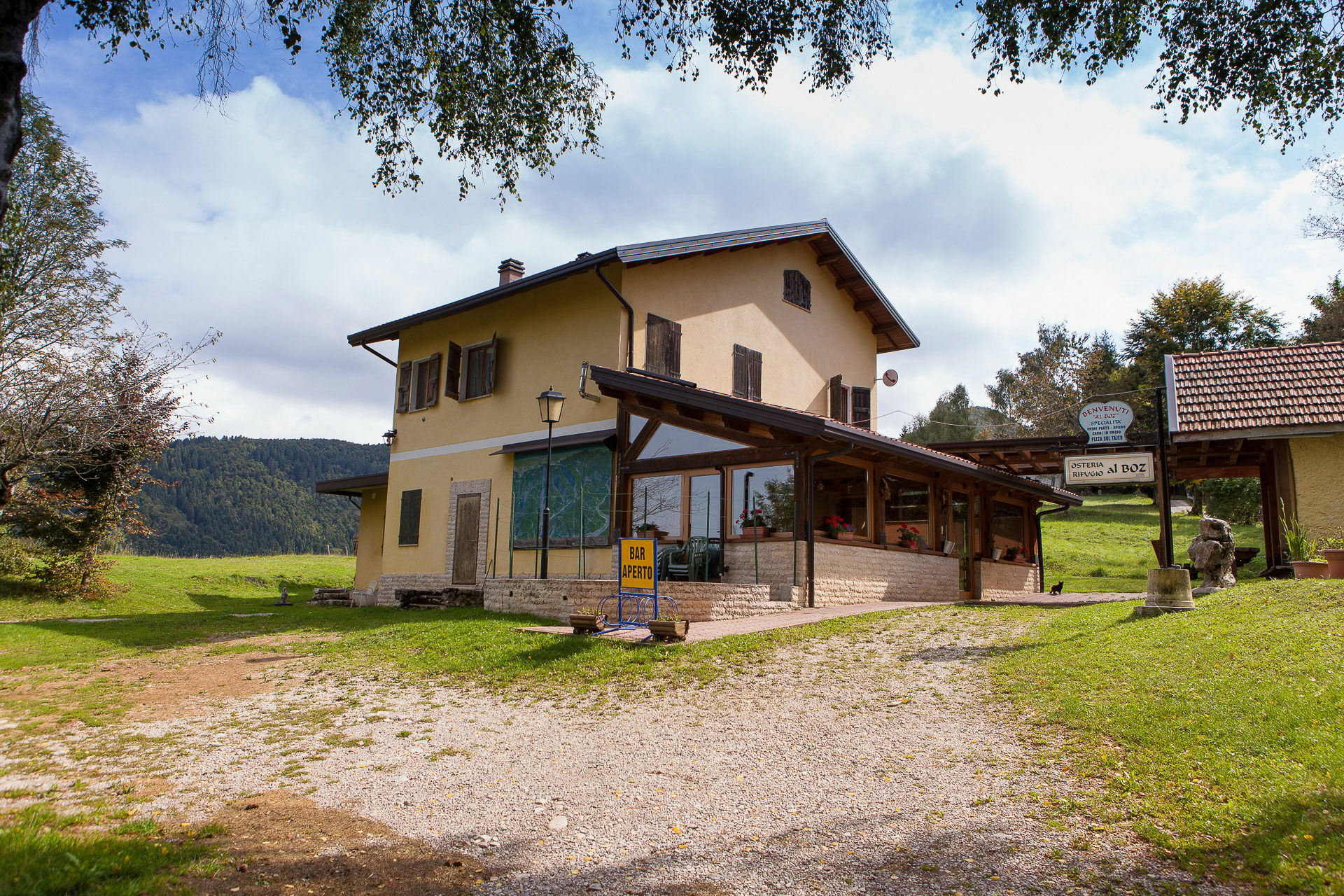
Boz0,0 kmMonte Canidi (1.279 m)5,8 kmAgriturismo Malga Canidi6,0 kmBoz9,9 kmOsteria Rifugio al Boz9,9 km
- Beste Jahreszeit
-
JanFebMärAprMaiJunJulAugSepOktNovDez
- Höchster Punkt
- 1.274 m
- Zielpunkt
-
Rifugio Al Boz, Borgo Valbelluna (BL)
- Höhenprofil
-
 © outdooractive.com
- Autor
-
Die Tour Hike from Boz to Malga Canidi wird von outdooractive.com bereitgestellt.
GPS Downloads


Allgemeine Infos
Einkehrmöglichkeit
Kulturell/Historisch
Flora
Aussichtsreich
Weitere Touren in den Regionen
-
Treviso
118
-
Area Feltrino
259
-
Valdobbiadene
78