© La via delle PREALPI - Editor - la Via delle PREALPI
© La via delle PREALPI - Editor - la Via delle PREALPI
© La via delle PREALPI - Editor - la Via delle PREALPI
© La via delle PREALPI - Editor - la Via delle PREALPI

- Kurzbeschreibung
-
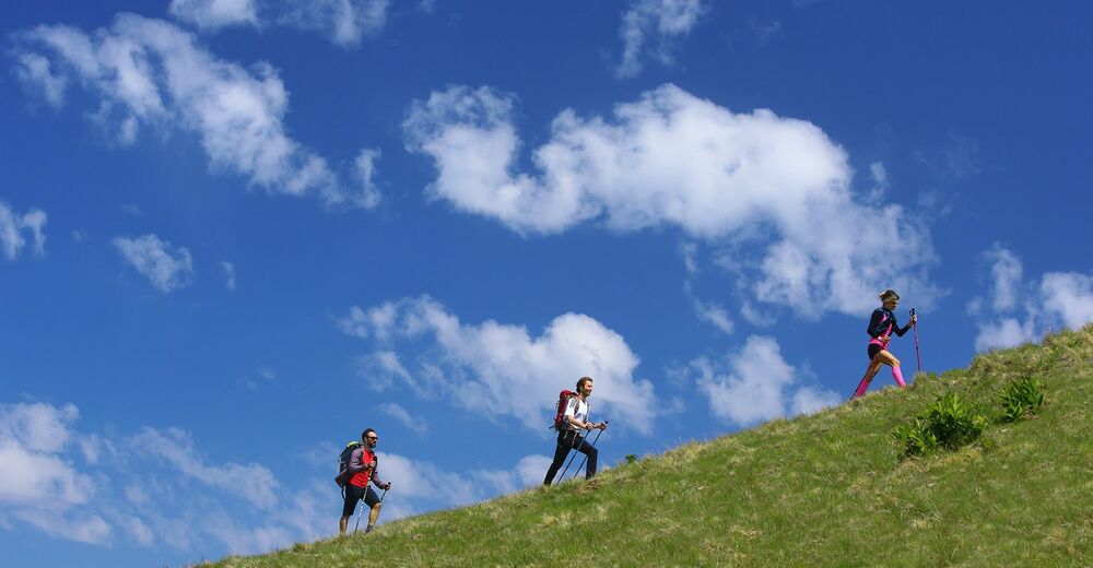
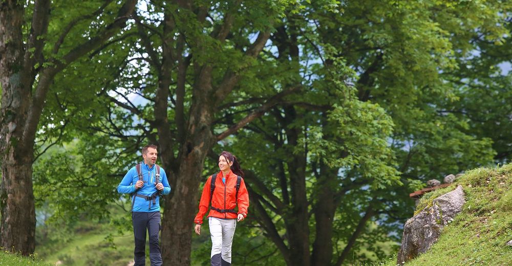
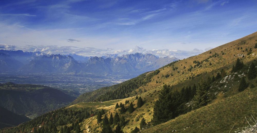
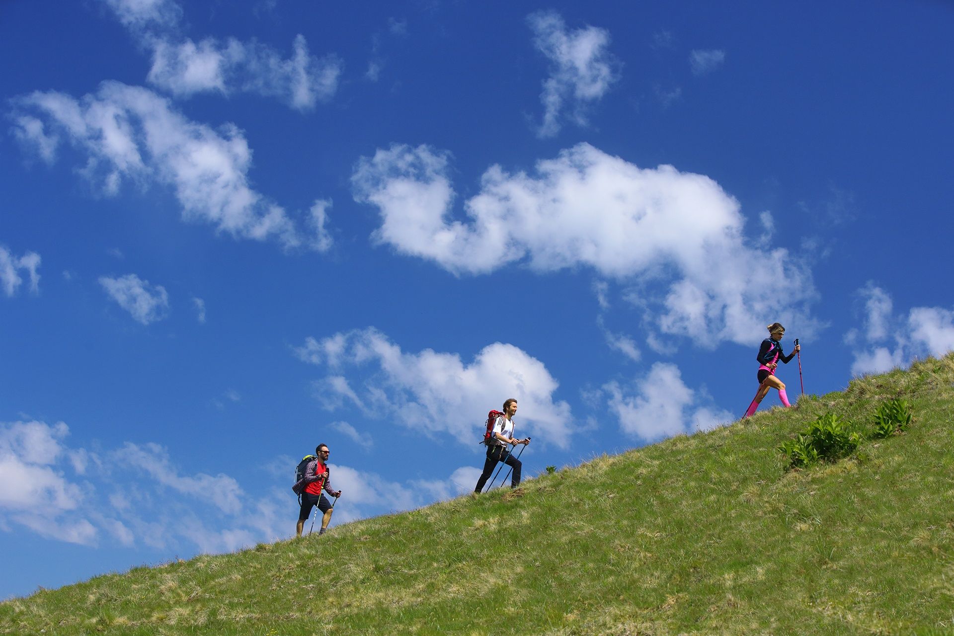
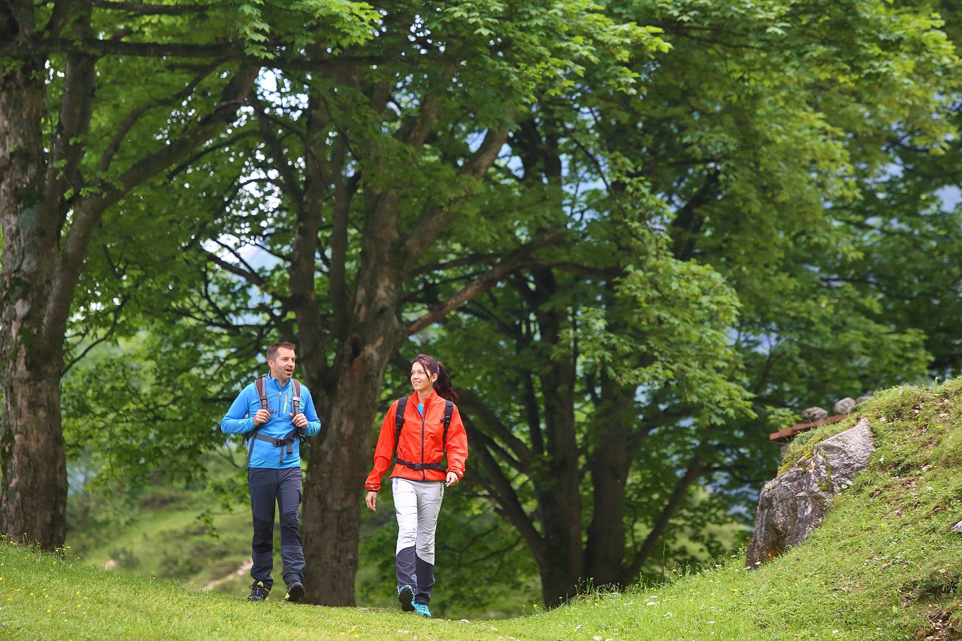
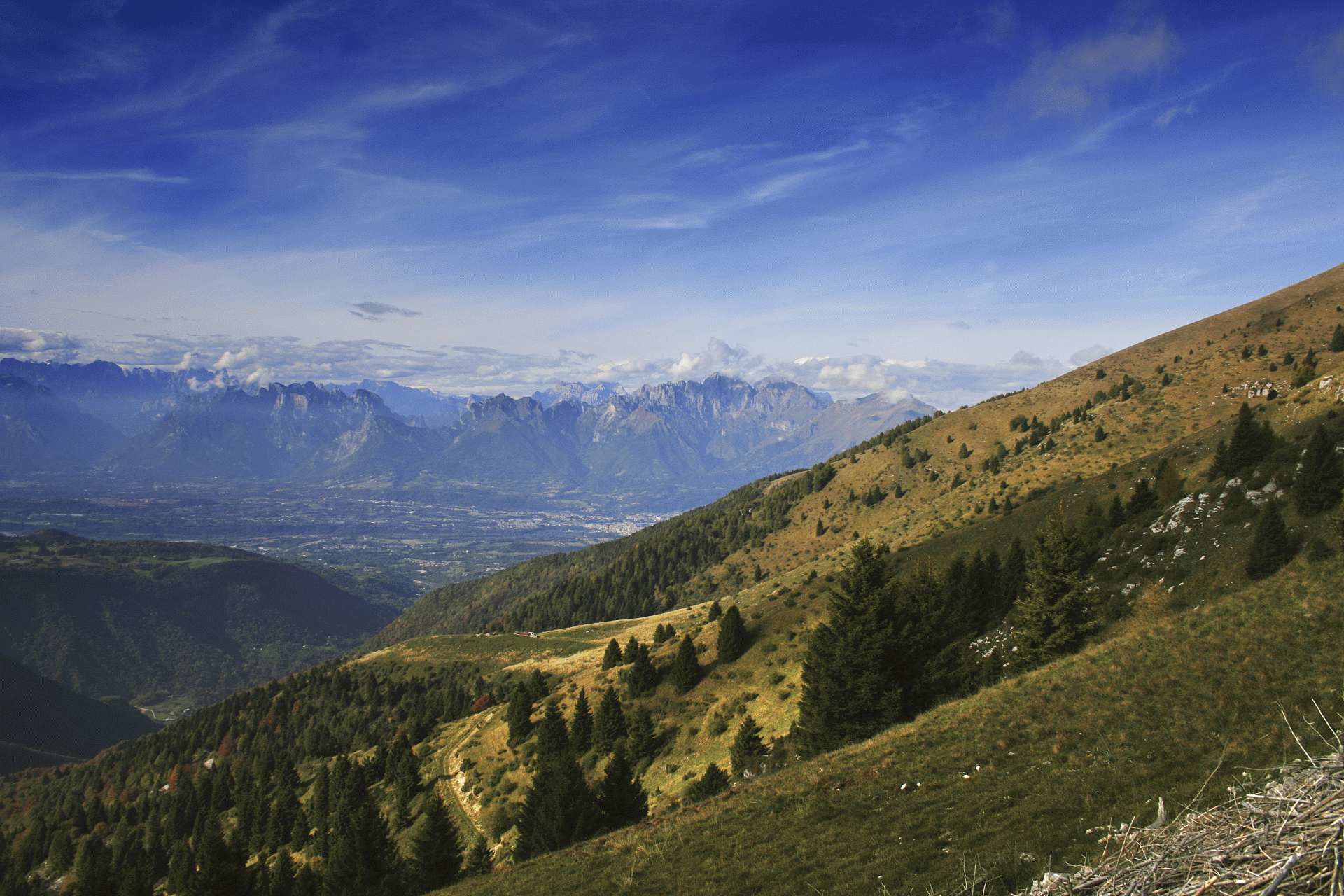
This loop trail runs along mixed terrain at the foot of Nevegal and Col Visentin through mountain villages, 17th century complexes and woods surrounded by silence. It will be a unique experience that will take you up to 1741 metres high, making you feel as if you were touching the sky with your finger.
- Schwierigkeit
-
mittel
- Bewertung
-
- Wegverlauf
-
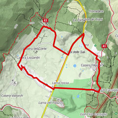
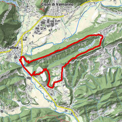
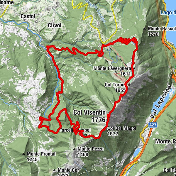
Forcella Zoppei (1.417 m)9,4 kmCol Dei Magoi (1.572 m)10,4 kmCol Visentin (1.776 m)11,8 kmRifugio Bristot14,3 kmex Rifugio Brigata Alpina Cadore15,0 kmMonte Faverghera (1.611 m)15,3 kmAgriturismo Faverghera15,7 kmRistorante La Casera17,1 kmNevegal21,9 kmSlalom22,0 kmTrattoria Pizzeria dal Bo22,1 kmVillaggio Olimpo23,0 kmCrede27,6 kmPiandelmonte31,6 kmTassei32,2 km
- Beste Jahreszeit
-
JanFebMärAprMaiJunJulAugSepOktNovDez
- Höchster Punkt
- 1.730 m
- Zielpunkt
-
Valmorel, Limana, (BL)
- Höhenprofil
-
 © outdooractive.com
- Autor
-
Die Tour Two-day excursion on Col Visentin wird von outdooractive.com bereitgestellt.
GPS Downloads


Allgemeine Infos
Einkehrmöglichkeit
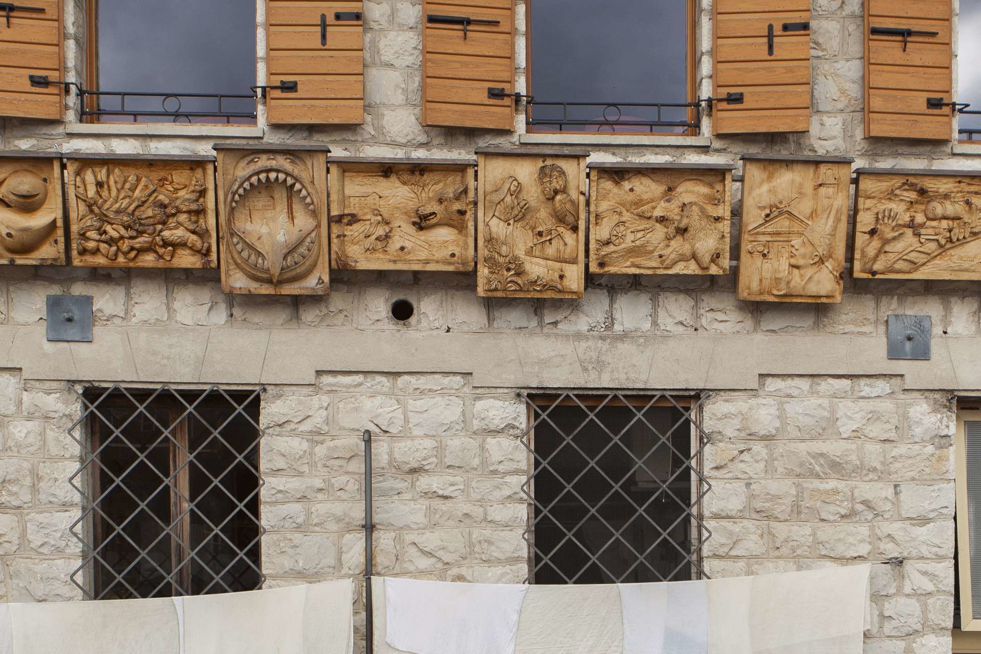
Kulturell/Historisch
Geheimtipp
Aussichtsreich
Weitere Touren in den Regionen
-
Belluno-Dolomiti
1074
-
Valbelluna
194
-
Belluno
8