© La via delle PREALPI - Editor - la Via delle PREALPI

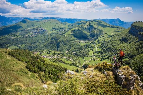
© La via delle PREALPI - FLAMINIO FOTOGRAFIA

© La via delle PREALPI - Editor - la Via delle PREALPI

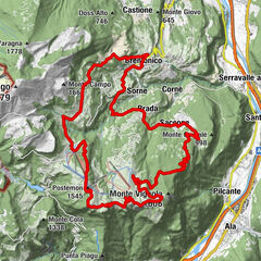
© La via delle PREALPI - Editor - la Via delle PREALPI

© Outdooractive – 3D Videos

- Kurzbeschreibung
-
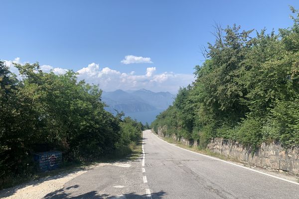
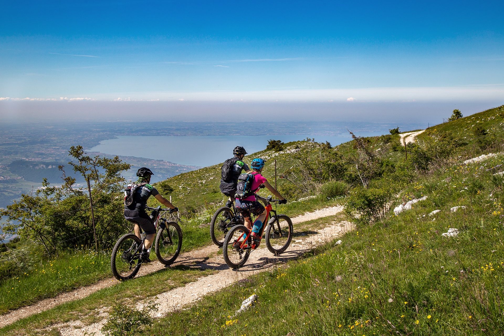
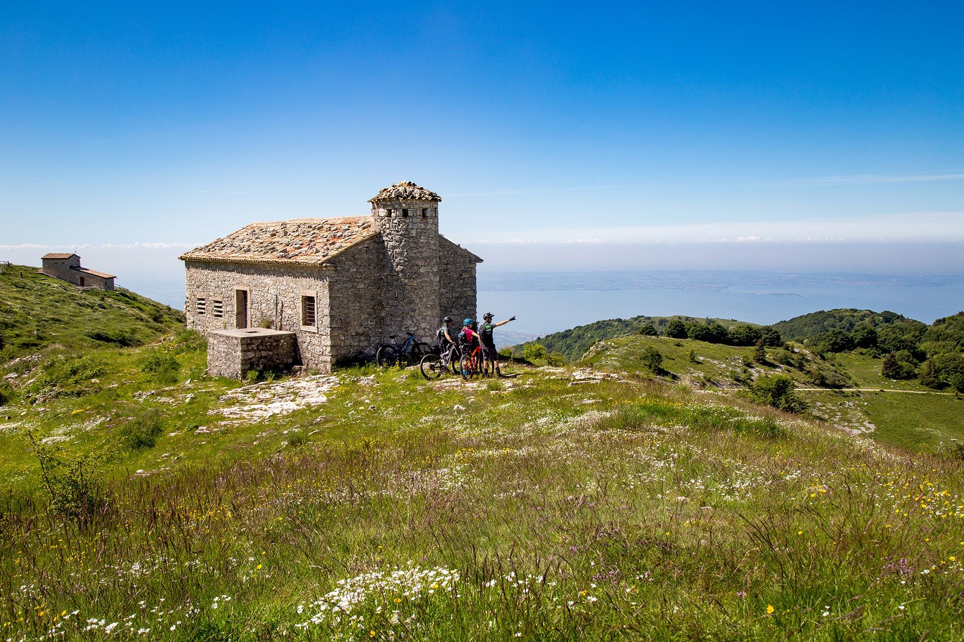
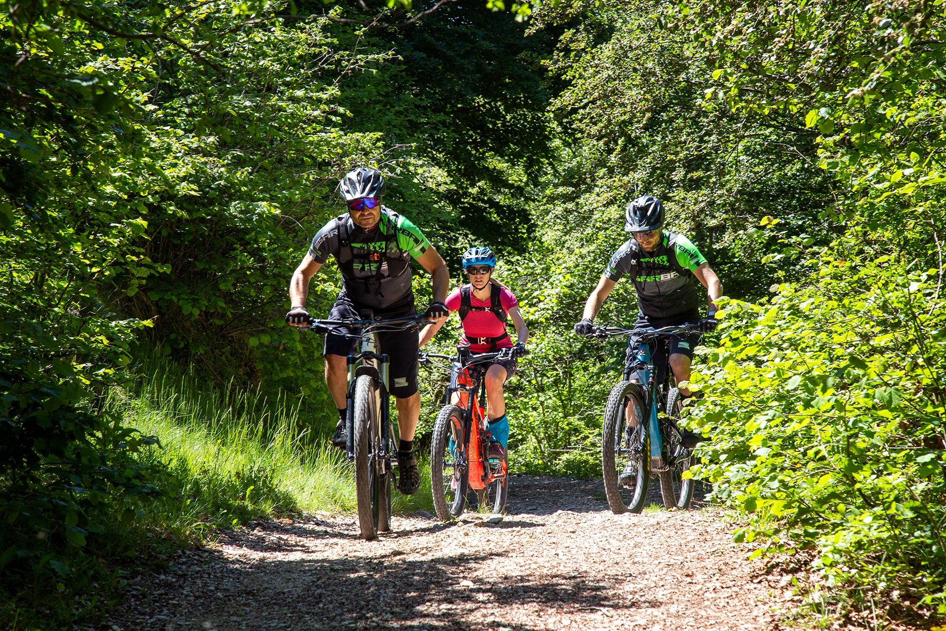
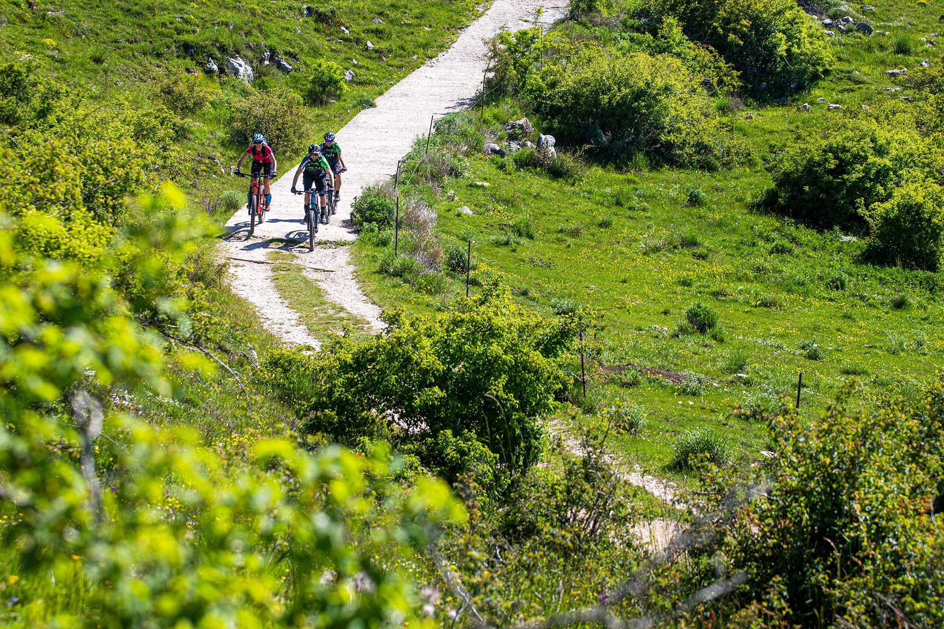
Beautiful MTB excursion for trained bikers. The route will take you to the panoramic view of Lake Garda from the natural terrace of Malga Pralongo, admiring the shades of blue and the Dolomite peaks that stand out on the horizon. This itinerary is mainly on secondary roads and dirt roads that climb the southern slope of Monte Baldo, passing through the characteristic villages of Caprino Veronese and climbing up through the pastures that in spring are tinged with a thousand colours.
- Schwierigkeit
-
mittel
- Bewertung
-
- Wegverlauf
-
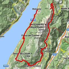
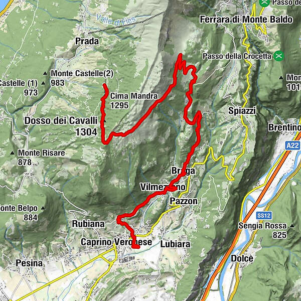
Caprino VeroneseGaon1,5 kmVilmezzano3,9 kmRenzon4,7 kmMonte Motta (572 m)5,0 kmBraghizzola5,1 kmBraga5,6 kmle Binde7,9 kmPradonego9,0 kmMalga Valfredda13,0 kmColonei di Caprino15,5 kmColonei di Pesina16,8 kmDosso dei Cavalli (1.304 m)18,5 kmDue Pozze19,4 kmCima Mandra (1.295 m)19,5 kmMalga Pralongo19,9 km
- Beste Jahreszeit
-
JanFebMärAprMaiJunJulAugSepOktNovDez
- Höchster Punkt
- 1.367 m
- Zielpunkt
-
Gaon, Caprino Veronese, (VR)
- Höhenprofil
-
 © outdooractive.com

- Autor
-
Die Tour Mit dem MTB nach Malga Pralongo wird von outdooractive.com bereitgestellt.
GPS Downloads


Allgemeine Infos
Einkehrmöglichkeit
Kulturell/Historisch
Geheimtipp
Flora
Fauna
Aussichtsreich
Weitere Touren in den Regionen
-
Verona
40
-
Gardasee / Venetien
57
-
Brenzone
15