
- Kurzbeschreibung
-
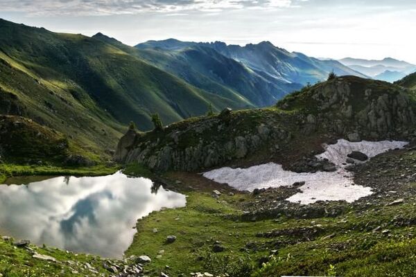
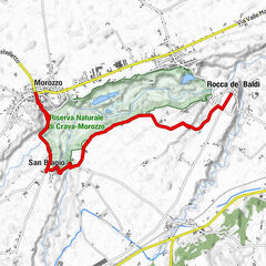
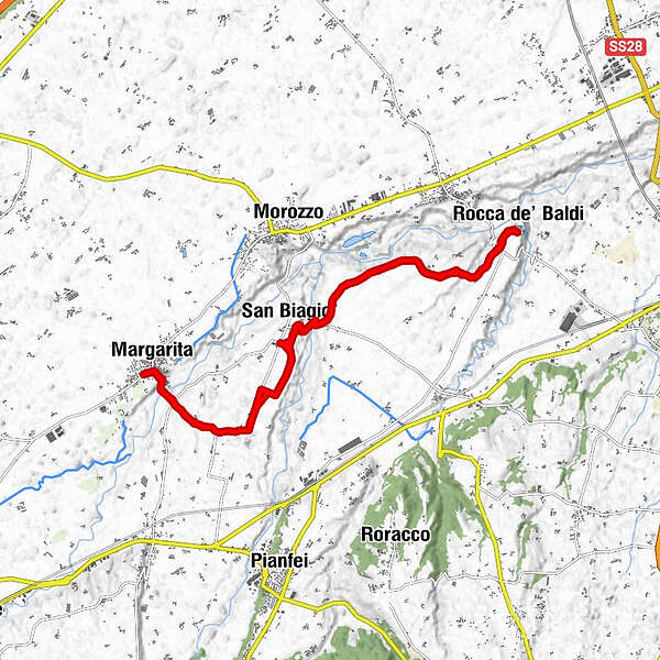
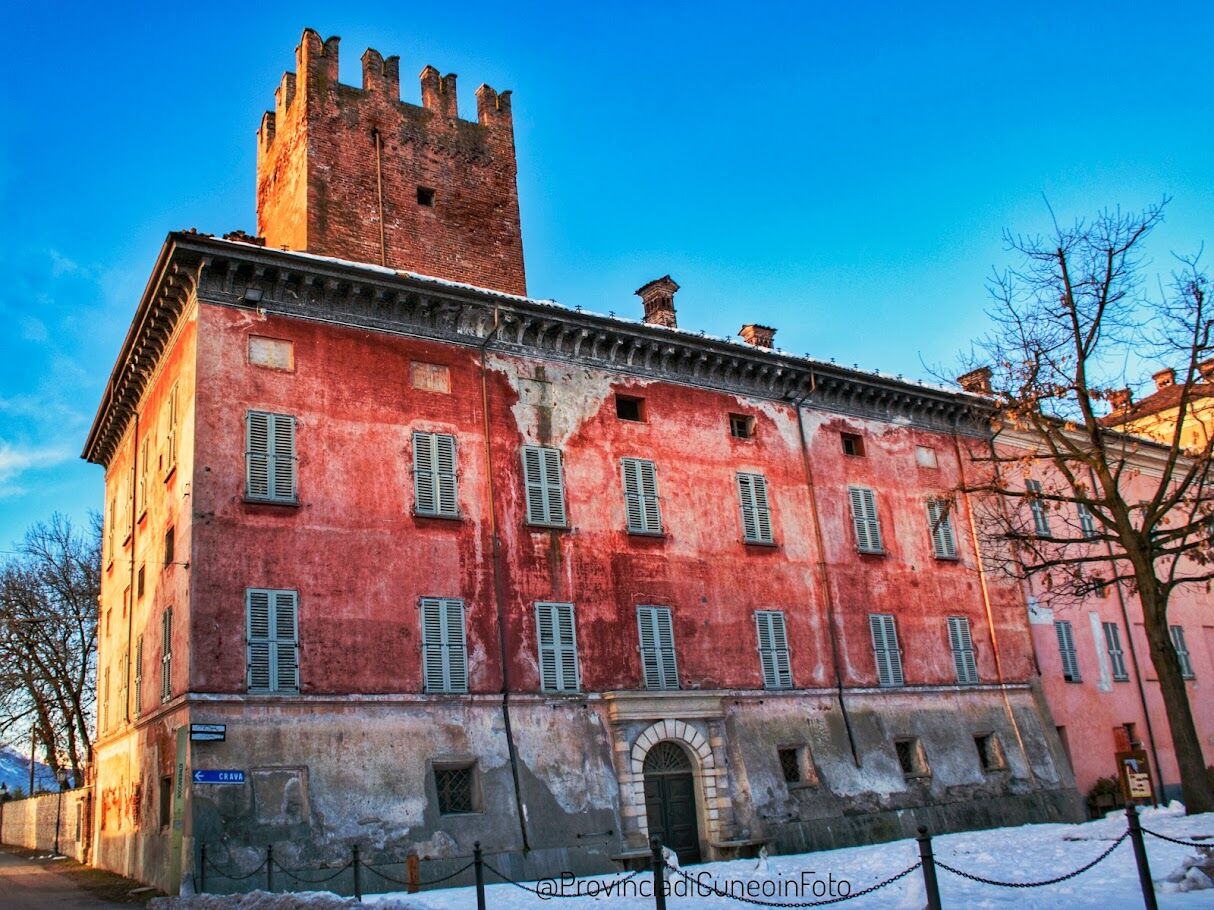
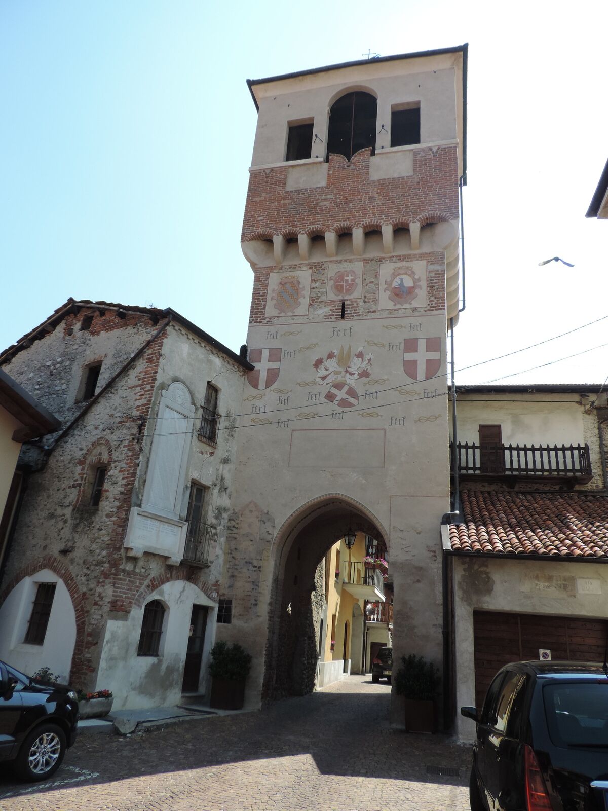
Itinerario interessante e rilassante fra la campagna e l'alveo del torrente Pesio, con partenza e arrivo in due località ricche di vestigia medioevali.
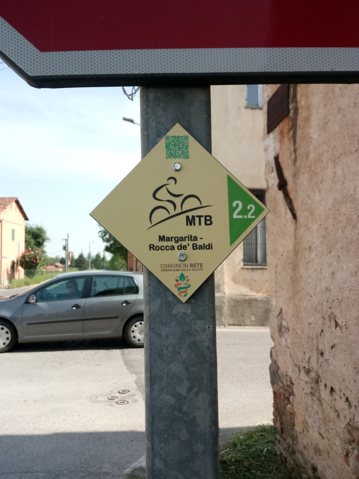
Itinerario realizzato nell'ambito del progetto "Comuni in Rete - cominciamo dalla salute" e finanziato dalla Fondazione CRC, implementato sulla piattaforma Outdoor Active nell'ambito del progetto “Comuni in Forma – Cittadini, benessere e territorio" grazie al finanziamento della Fondazione CRT.
- Schwierigkeit
-
leicht
- Bewertung
-
- Beste Jahreszeit
-
JanFebMärAprMaiJunJulAugSepOktNovDez
- Höchster Punkt
- 453 m
- Zielpunkt
-
Piazza Marconi
- Höhenprofil
-
 © outdooractive.com
-

-
AutorDie Tour Margarita - Rocca De' Baldi wird von outdooractive.com bereitgestellt.
GPS Downloads


Weitere Touren in den Regionen